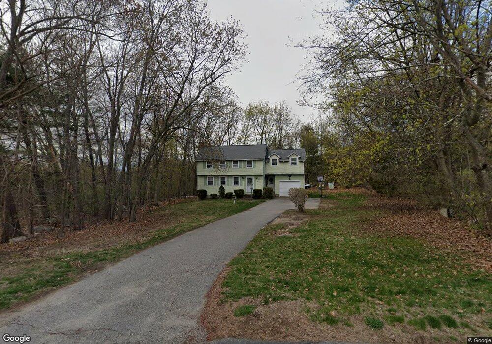
19 Skyline Dr Billerica, MA 01821
Estimated Value: $710,000 - $785,000
4
Beds
2
Baths
1,908
Sq Ft
$393/Sq Ft
Est. Value
About This Home
This home is located at 19 Skyline Dr, Billerica, MA 01821 and is currently estimated at $749,159, approximately $392 per square foot. 19 Skyline Dr is a home located in Middlesex County with nearby schools including Billerica Memorial High School.
Ownership History
Date
Name
Owned For
Owner Type
Purchase Details
Closed on
Jan 30, 2017
Sold by
Atkins Neil M and Atkins Dianne M
Bought by
Atkins Neil M and Atkins Diane M
Current Estimated Value
Purchase Details
Closed on
Mar 30, 1995
Sold by
Cyr Alfred and Cyr Elaine
Bought by
Atkins Neil and Hanafin Dianne
Home Financials for this Owner
Home Financials are based on the most recent Mortgage that was taken out on this home.
Original Mortgage
$152,000
Interest Rate
8.8%
Mortgage Type
Purchase Money Mortgage
Create a Home Valuation Report for This Property
The Home Valuation Report is an in-depth analysis detailing your home's value as well as a comparison with similar homes in the area
Home Values in the Area
Average Home Value in this Area
Purchase History
| Date | Buyer | Sale Price | Title Company |
|---|---|---|---|
| Atkins Neil M | -- | -- | |
| Atkins Neil | $168,900 | -- |
Source: Public Records
Mortgage History
| Date | Status | Borrower | Loan Amount |
|---|---|---|---|
| Previous Owner | Atkins Neil | $200,000 | |
| Previous Owner | Atkins Neil | $33,000 | |
| Previous Owner | Atkins Neil | $145,750 | |
| Previous Owner | Atkins Neil | $152,000 |
Source: Public Records
Tax History Compared to Growth
Tax History
| Year | Tax Paid | Tax Assessment Tax Assessment Total Assessment is a certain percentage of the fair market value that is determined by local assessors to be the total taxable value of land and additions on the property. | Land | Improvement |
|---|---|---|---|---|
| 2025 | $7,078 | $622,500 | $371,000 | $251,500 |
| 2024 | $6,639 | $588,000 | $335,700 | $252,300 |
| 2023 | $6,182 | $520,800 | $284,700 | $236,100 |
| 2022 | $5,779 | $457,200 | $262,100 | $195,100 |
| 2021 | $5,671 | $436,200 | $245,500 | $190,700 |
| 2020 | $5,542 | $426,600 | $235,900 | $190,700 |
| 2019 | $5,299 | $393,100 | $212,000 | $181,100 |
| 2018 | $5,186 | $365,500 | $196,700 | $168,800 |
| 2017 | $5,061 | $359,200 | $198,900 | $160,300 |
| 2016 | $4,894 | $346,100 | $185,800 | $160,300 |
| 2015 | $4,859 | $346,100 | $185,800 | $160,300 |
| 2014 | $5,199 | $363,800 | $197,000 | $166,800 |
Source: Public Records
Map
Nearby Homes
- 9 Boynton Ln
- 405 Boston Rd Unit 2
- 9 Meridien Way
- 13 Parker St
- LOT 54B Beverly Rd
- 23 Salem Rd
- 12 Stoney Dr
- 29 Fox Hill Rd
- 79 Bridle Rd
- 175 Pollard St
- 5 Karen Cir Unit 16
- 28 Kenmar Dr Unit 283
- 6 Magnolia Ave
- 7 Bridge St Unit 11
- 4 Market St
- 14 Elsie Ave
- 13 Heidi Ln
- 3 Bayberry Ln
- 140 Pollard St
- 120 Concord Rd
- 21 Skyline Dr
- 17 Skyline Dr
- 22 Skyline Dr
- 9 Farmers Ln
- 15 Skyline Dr
- 17 Farmers Ln
- 17 Mount Pleasant St
- 23 Skyline Dr
- 18 Skyline Dr
- 20 Skyline Dr
- 17 Mount Vernon Ave
- 7 Farmers Ln
- 13 Skyline Dr
- 19 Mount Vernon Ave
- 15 Mount Vernon Ave
- 14 Farmers Ln
- 16 Farmers Ln
- 8 Farmers Ln
- 16 Skyline Dr
- 24 Skyline Dr