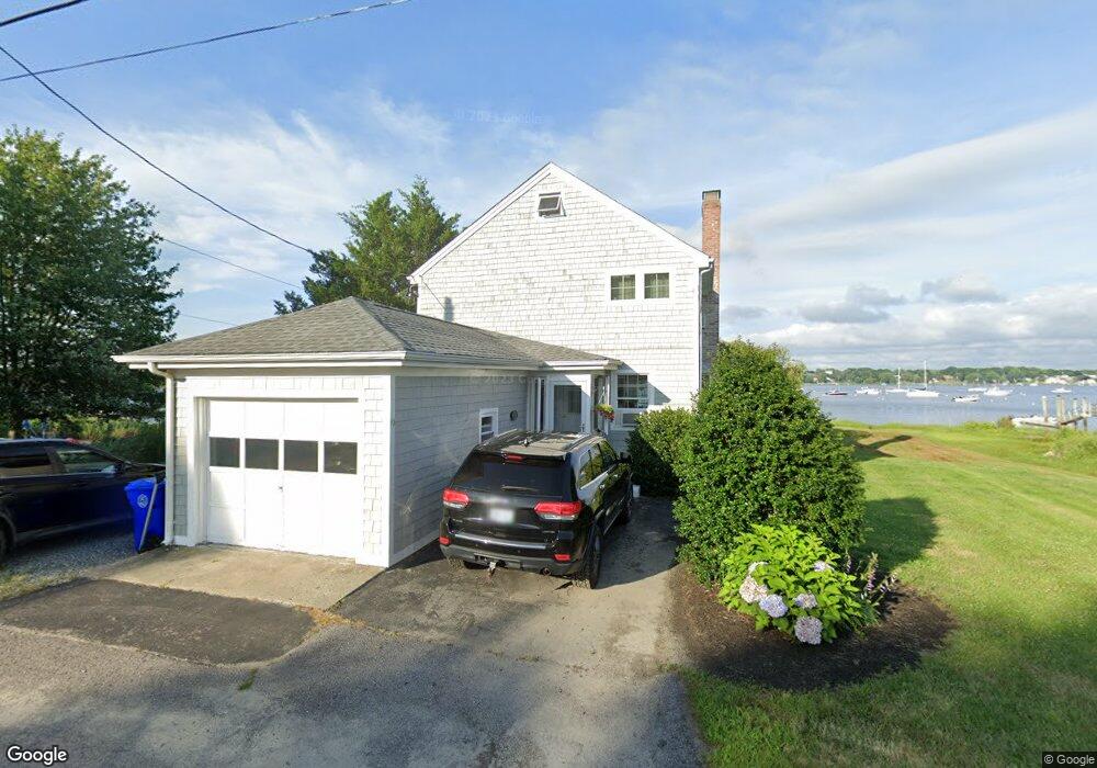
19 Slocum St Bristol, RI 02809
Northeast Bristol NeighborhoodEstimated Value: $624,471 - $995,000
3
Beds
2
Baths
1,536
Sq Ft
$538/Sq Ft
Est. Value
About This Home
This home is located at 19 Slocum St, Bristol, RI 02809 and is currently estimated at $825,618, approximately $537 per square foot. 19 Slocum St is a home located in Bristol County with nearby schools including Mt. Hope High School, Highlander Charter Middle and High School, and East Bay Career Academy.
Ownership History
Date
Name
Owned For
Owner Type
Purchase Details
Closed on
Mar 2, 2020
Sold by
Delsesto Andrea L
Bought by
Capron Lawrence P and Capron Judith L
Current Estimated Value
Purchase Details
Closed on
Jul 27, 2018
Sold by
Capron Lawrence P and Capron Judith L
Bought by
Delsesto Andrea L
Purchase Details
Closed on
Nov 17, 1998
Sold by
Morin John B and Morin Claire
Bought by
Capron Lawrence P and Capron Judith L
Create a Home Valuation Report for This Property
The Home Valuation Report is an in-depth analysis detailing your home's value as well as a comparison with similar homes in the area
Home Values in the Area
Average Home Value in this Area
Purchase History
| Date | Buyer | Sale Price | Title Company |
|---|---|---|---|
| Capron Lawrence P | -- | None Available | |
| Delsesto Andrea L | -- | -- | |
| Capron Lawrence P | $210,000 | -- |
Source: Public Records
Mortgage History
| Date | Status | Borrower | Loan Amount |
|---|---|---|---|
| Previous Owner | Capron Lawrence P | $166,000 | |
| Previous Owner | Capron Lawrence P | $181,925 | |
| Previous Owner | Capron Lawrence P | $210,700 |
Source: Public Records
Tax History Compared to Growth
Tax History
| Year | Tax Paid | Tax Assessment Tax Assessment Total Assessment is a certain percentage of the fair market value that is determined by local assessors to be the total taxable value of land and additions on the property. | Land | Improvement |
|---|---|---|---|---|
| 2025 | $7,996 | $578,600 | $385,700 | $192,900 |
| 2024 | $7,996 | $578,600 | $385,700 | $192,900 |
| 2023 | $7,730 | $578,600 | $385,700 | $192,900 |
| 2022 | $7,522 | $578,600 | $385,700 | $192,900 |
| 2021 | $7,342 | $510,600 | $343,800 | $166,800 |
| 2020 | $7,184 | $510,600 | $343,800 | $166,800 |
| 2019 | $7,005 | $510,600 | $343,800 | $166,800 |
| 2018 | $8,402 | $546,300 | $390,200 | $156,100 |
| 2017 | $6,896 | $462,200 | $330,000 | $132,200 |
| 2016 | $6,827 | $462,200 | $330,000 | $132,200 |
| 2015 | $6,485 | $462,200 | $330,000 | $132,200 |
| 2014 | $6,337 | $485,230 | $347,500 | $137,730 |
Source: Public Records
Map
Nearby Homes
- 7 Broadview Ave
- 4 Read Ave
- 0 Overhill Rd Unit 1382248
- 3 Betsy Dr
- 1 Betsy Dr
- 85 Canario Dr
- 16 Smith St
- 0 Barton Ave
- 683 Metacom Ave Unit 79
- 669 Metacom Ave Unit 17
- 25 Asylum Rd
- 22 Harrison St
- 17 Colonial Dr
- 397 Child St
- 35 Bagy Wrinkle Cove
- 9 Kenny Dr
- 48 Narrows Rd
- 510 Child St Unit 303A
- 510 Child St Unit 105B
- 510 Child St Unit 201C