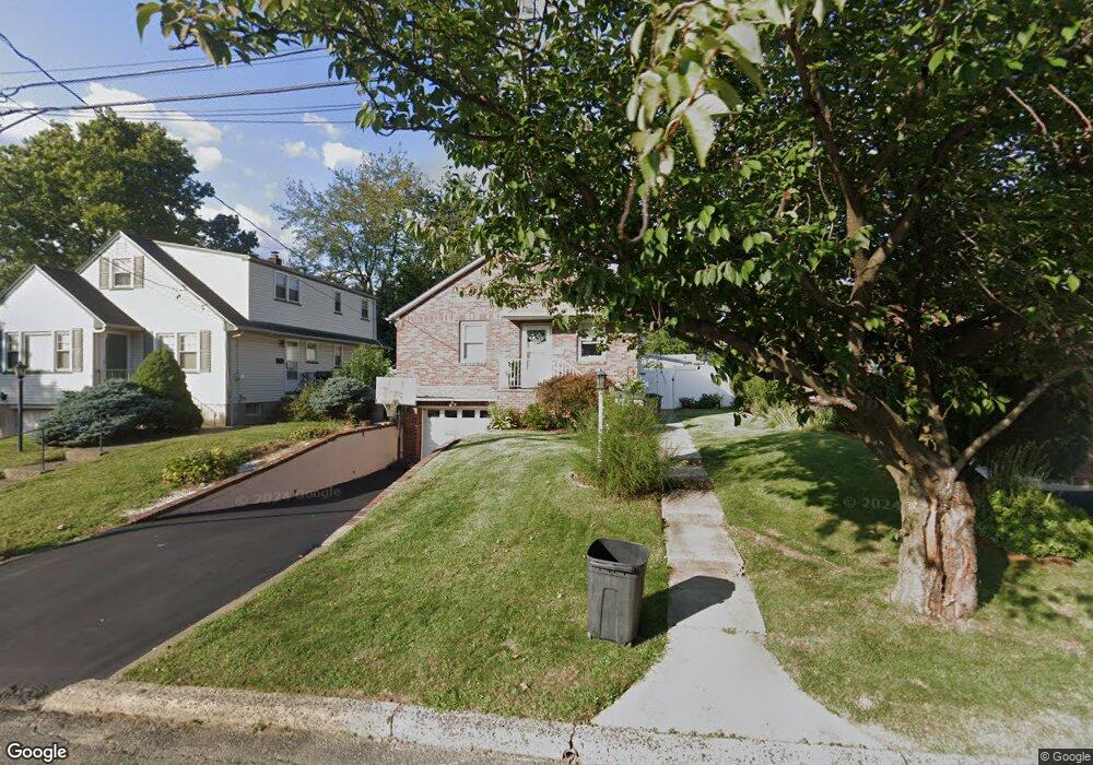
19 Springfield Ave Hasbrouck Heights, NJ 07604
Estimated Value: $570,352 - $622,000
Studio
--
Bath
1,040
Sq Ft
$573/Sq Ft
Est. Value
About This Home
This home is located at 19 Springfield Ave, Hasbrouck Heights, NJ 07604 and is currently estimated at $595,838, approximately $572 per square foot. 19 Springfield Ave is a home located in Bergen County with nearby schools including Hasbrouck Heights High School and Corpus Christi School.
Ownership History
Date
Name
Owned For
Owner Type
Purchase Details
Closed on
Aug 26, 2004
Current Estimated Value
Home Financials for this Owner
Home Financials are based on the most recent Mortgage that was taken out on this home.
Original Mortgage
$268,800
Outstanding Balance
$134,324
Interest Rate
6.01%
Estimated Equity
$461,514
Purchase Details
Closed on
Aug 25, 2004
Sold by
Min Jung Ki
Bought by
Totonjie Yousif
Home Financials for this Owner
Home Financials are based on the most recent Mortgage that was taken out on this home.
Original Mortgage
$268,800
Outstanding Balance
$134,324
Interest Rate
6.01%
Estimated Equity
$461,514
Create a Home Valuation Report for This Property
The Home Valuation Report is an in-depth analysis detailing your home's value as well as a comparison with similar homes in the area
Home Values in the Area
Average Home Value in this Area
Purchase History
| Date | Buyer | Sale Price | Title Company |
|---|---|---|---|
| -- | -- | -- | |
| Totonjie Yousif | $336,000 | -- |
Source: Public Records
Mortgage History
| Date | Status | Borrower | Loan Amount |
|---|---|---|---|
| Open | Totonjie Yousif | $268,800 |
Source: Public Records
Tax History
| Year | Tax Paid | Tax Assessment Tax Assessment Total Assessment is a certain percentage of the fair market value that is determined by local assessors to be the total taxable value of land and additions on the property. | Land | Improvement |
|---|---|---|---|---|
| 2025 | $9,791 | $383,200 | $222,500 | $160,700 |
| 2024 | $9,458 | $383,200 | $222,500 | $160,700 |
| 2023 | $9,190 | $367,000 | $212,500 | $154,500 |
| 2022 | $9,190 | $341,400 | $195,000 | $146,400 |
| 2021 | $8,632 | $316,300 | $182,500 | $133,800 |
| 2020 | $8,878 | $308,700 | $172,500 | $136,200 |
| 2019 | $8,632 | $303,400 | $170,000 | $133,400 |
| 2018 | $8,502 | $298,100 | $167,500 | $130,600 |
| 2017 | $8,362 | $292,800 | $165,000 | $127,800 |
| 2016 | $8,301 | $273,500 | $155,000 | $118,500 |
| 2015 | $8,167 | $273,500 | $155,000 | $118,500 |
| 2014 | $7,942 | $273,500 | $155,000 | $118,500 |
Source: Public Records
Map
Nearby Homes
- 2 Passaic Ave
- 183 Terhune Ave Unit 3
- 25 Roosevelt Dr
- 183c Terhune Ave Unit C
- 43 Wesmont Dr Unit 1712
- 129 Eisenhower Ln Unit 2109
- 48 Roosevelt Dr
- 73 Wesmont Dr Unit 1811
- 221 Passaic Ave
- 109 Wesmont Dr Unit 1913
- 66 Terhune Ave Unit 14
- 165 Roosevelt Dr
- 88 Truman Dr
- 102 Wesmont Dr
- 14 Jefferson Ave Unit 16
- 288 Sussex Rd
- 243 Cleveland Ave
- 74 Kipp Ave
- 227 Bradley Dr
- 223 Bradley Dr
- 15 Springfield Ave
- 25 Springfield Ave
- 29 Springfield Ave
- 14 Passaic Ave
- 9 Springfield Ave
- 22 Passaic Ave
- 26 Passaic Ave
- 10 Passaic Ave
- 20 Springfield Ave
- 26 Springfield Ave
- 24 Passaic Ave Unit Fl 2
- 24 Passaic Ave
- 30 Springfield Ave
- 10 Springfield Ave
- 35 Springfield Ave
- 34 Passaic Ave
- 34 Springfield Ave
- 6 Springfield Ave
- 39 Springfield Ave
- 42 Passaic Ave