19 St Andrews Dr SE Cartersville, GA 30120
Estimated Value: $979,936 - $1,075,000
5
Beds
5
Baths
5,726
Sq Ft
$181/Sq Ft
Est. Value
About This Home
This home is located at 19 St Andrews Dr SE, Cartersville, GA 30120 and is currently estimated at $1,034,645, approximately $180 per square foot. 19 St Andrews Dr SE is a home located in Bartow County with nearby schools including Emerson Elementary School, Red Top Middle School, and Woodland High School.
Ownership History
Date
Name
Owned For
Owner Type
Purchase Details
Closed on
Jul 31, 2020
Sold by
Heisel Leroy Charles
Bought by
Stotler Brett M and Stotler Kathleen M
Current Estimated Value
Home Financials for this Owner
Home Financials are based on the most recent Mortgage that was taken out on this home.
Original Mortgage
$510,400
Outstanding Balance
$452,761
Interest Rate
3%
Mortgage Type
New Conventional
Estimated Equity
$581,884
Create a Home Valuation Report for This Property
The Home Valuation Report is an in-depth analysis detailing your home's value as well as a comparison with similar homes in the area
Home Values in the Area
Average Home Value in this Area
Purchase History
| Date | Buyer | Sale Price | Title Company |
|---|---|---|---|
| Stotler Brett M | $670,000 | -- |
Source: Public Records
Mortgage History
| Date | Status | Borrower | Loan Amount |
|---|---|---|---|
| Open | Stotler Brett M | $510,400 |
Source: Public Records
Tax History Compared to Growth
Tax History
| Year | Tax Paid | Tax Assessment Tax Assessment Total Assessment is a certain percentage of the fair market value that is determined by local assessors to be the total taxable value of land and additions on the property. | Land | Improvement |
|---|---|---|---|---|
| 2024 | $8,788 | $361,640 | $62,000 | $299,640 |
| 2023 | $8,788 | $364,729 | $62,000 | $302,729 |
| 2022 | $8,876 | $349,572 | $48,000 | $301,572 |
| 2021 | $7,149 | $281,188 | $48,000 | $233,188 |
| 2020 | $6,261 | $256,681 | $48,000 | $208,681 |
| 2019 | $5,576 | $229,508 | $30,000 | $199,508 |
| 2018 | $5,342 | $220,428 | $20,000 | $200,428 |
| 2017 | $3,949 | $169,760 | $20,360 | $149,400 |
| 2016 | $3,976 | $169,760 | $20,360 | $149,400 |
| 2015 | $3,976 | $169,760 | $20,360 | $149,400 |
| 2014 | $3,577 | $151,360 | $20,360 | $131,000 |
| 2013 | -- | $151,360 | $20,360 | $131,000 |
Source: Public Records
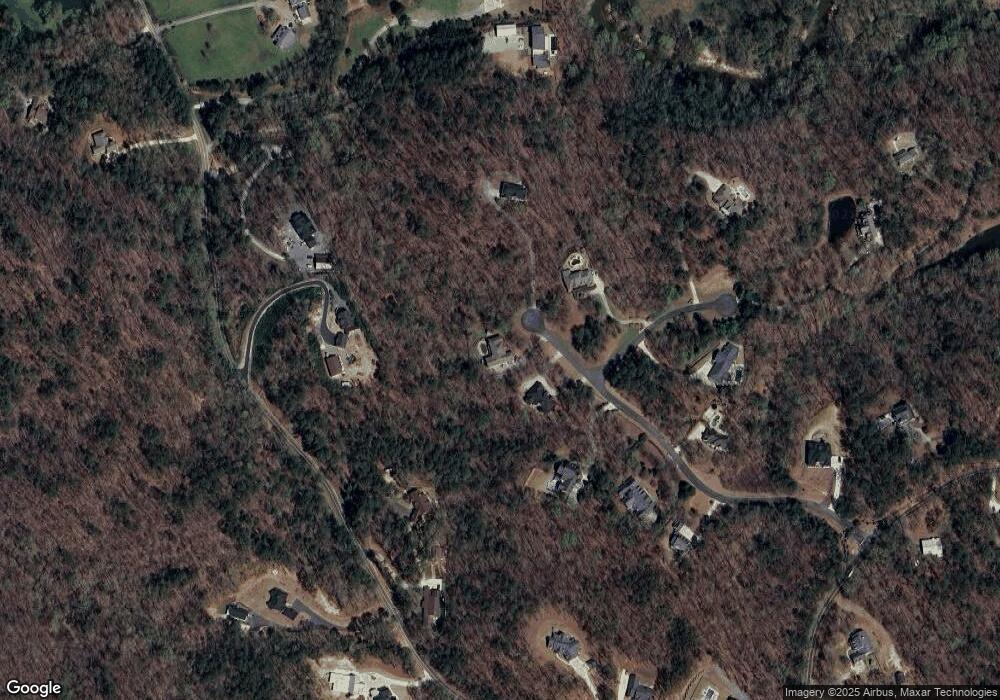
Map
Nearby Homes
- 455 Bates Rd
- 51 Mountain Ridge Dr SE
- 62 Heidelberg Ln SE
- 23 Valley Trail SE
- 23 Vista Woods Ln
- 5375 Crystal Mountain Rd SE
- 111 Dripping Rock Trail SE
- 73 Valley Trail SE
- 101 Bevil Ridge Rd SE
- 0 Overlook Trail Unit 10617151
- 14 Retreat Ridge SE
- 37 Retreat Ridge SE
- 0 Old Goodie Mountain Rd
- 27 Retreat Ridge SE
- 79 Red Top Cir
- 946 Overlook Trail
- 19 Saint Andrews Dr SE
- 17 Saint Andrews Dr SE
- 11 Aberdeen Ct SE
- 15 Saint Andrews Dr SE
- 20 Saint Andrews Dr SE
- 459 Bates Rd SE
- 13 Saint Andrews Dr SE
- 0 Saint Andrews Dr Unit 8673675
- 0 Saint Andrews Dr Unit 7309411
- 0 Saint Andrews Dr Unit 8187502
- 0 Saint Andrews Dr Unit 3096448
- 449 Bates Rd SE
- 12 Aberdeen Ct SE
- 0 Aberdeen Ct Unit 7389321
- 0 Aberdeen Ct Unit 7620796
- 0 Aberdeen Ct
- 12 Saint Andrews Dr SE
- 11 Saint Andrews Dr SE
- 11 St Andrews Dr SE
- 447 Bates Rd SE