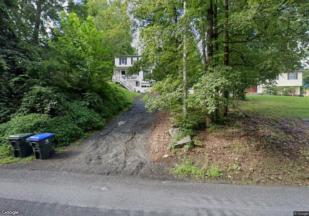
19 Stewart Ave Newburgh, NY 12550
Estimated Value: $353,504 - $438,000
3
Beds
2
Baths
1,568
Sq Ft
$252/Sq Ft
Est. Value
About This Home
This home is located at 19 Stewart Ave, Newburgh, NY 12550 and is currently estimated at $395,876, approximately $252 per square foot. 19 Stewart Ave is a home located in Orange County with nearby schools including Newburgh Free Academy Main Campus and San Miguel Academy Of Newburgh.
Ownership History
Date
Name
Owned For
Owner Type
Purchase Details
Closed on
Mar 28, 2017
Sold by
Secretary Of Veteran'S Affairs
Bought by
Kennedy Robert
Current Estimated Value
Home Financials for this Owner
Home Financials are based on the most recent Mortgage that was taken out on this home.
Original Mortgage
$128,393
Outstanding Balance
$106,005
Interest Rate
4.1%
Mortgage Type
FHA
Estimated Equity
$289,871
Purchase Details
Closed on
Mar 23, 2017
Sold by
Veterans Admn
Bought by
Kennedy Robert A and Kennedy Dana
Home Financials for this Owner
Home Financials are based on the most recent Mortgage that was taken out on this home.
Original Mortgage
$128,393
Outstanding Balance
$106,005
Interest Rate
4.1%
Mortgage Type
FHA
Estimated Equity
$289,871
Purchase Details
Closed on
Oct 28, 2015
Sold by
Vincent Rippa As Referee
Bought by
The Secretary Of Veterans Affairs
Purchase Details
Closed on
Dec 30, 2005
Sold by
Singh Bibi
Bought by
Robinson Jene
Create a Home Valuation Report for This Property
The Home Valuation Report is an in-depth analysis detailing your home's value as well as a comparison with similar homes in the area
Home Values in the Area
Average Home Value in this Area
Purchase History
| Date | Buyer | Sale Price | Title Company |
|---|---|---|---|
| Kennedy Robert | $88,000 | Gary Gogerty | |
| Kennedy Robert A | $88,000 | Greenacre Abst | |
| The Secretary Of Veterans Affairs | $159,044 | Gross Polowy | |
| Robinson Jene | $260,000 | Alan R. Lewis |
Source: Public Records
Mortgage History
| Date | Status | Borrower | Loan Amount |
|---|---|---|---|
| Open | Kennedy Robert A | $128,393 |
Source: Public Records
Tax History Compared to Growth
Tax History
| Year | Tax Paid | Tax Assessment Tax Assessment Total Assessment is a certain percentage of the fair market value that is determined by local assessors to be the total taxable value of land and additions on the property. | Land | Improvement |
|---|---|---|---|---|
| 2024 | $5,496 | $50,100 | $3,000 | $47,100 |
| 2023 | $5,496 | $50,100 | $3,000 | $47,100 |
| 2022 | $5,638 | $50,100 | $3,000 | $47,100 |
| 2021 | $5,659 | $50,100 | $3,000 | $47,100 |
| 2020 | $5,625 | $50,100 | $3,000 | $47,100 |
| 2019 | $1,811 | $50,100 | $3,000 | $47,100 |
| 2018 | $1,811 | $50,100 | $3,000 | $47,100 |
Source: Public Records
Map
Nearby Homes
- 14 Bellevue Rd
- 35 Westbrook Rd
- 64 High Point Cir Unit 64
- 83 Poplar St
- 136 High Point Cir
- 17 Nott Place
- 17 Brookside Ave
- 23 Oak St
- 55 Old Little Britain Rd
- 4 Locust St
- 75 Wisner Ave
- 470 Little Britain Rd
- 36 Wintergreen Ave
- 72 Wisner Ave
- 685 South St
- 114 Dupont Ave
- 125 Highland Ave
- 147 S Plank Rd
- 87 Ellis Ave
- 524 MacNary Rd
- 21 Stewart Ave
- 0 Bellevue Rd Unit H4843379
- 0 Bellevue Rd
- 10 Bellevue Rd
- 15 Stewart Ave
- 12 Bellevue Rd
- 39 Bellevue Rd
- 15 Bellevue Rd
- 8 Bellevue Rd
- 16 Bellevue Rd
- 6 Bellevue Rd
- 13 Stewart Ave
- 13 Bellevue Rd
- 4 Bellevue Rd
- 17 Bellevue Rd
- 8 Putnam St
- 10 Putnam St
- 29 Stewart Ave
- 6 Putnam St
- 19 Bellevue Rd