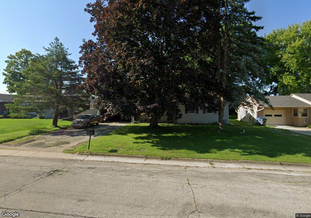
19 Stimpson St Watertown, WI 53094
Estimated Value: $225,658 - $364,000
--
Bed
--
Bath
--
Sq Ft
0.28
Acres
About This Home
This home is located at 19 Stimpson St, Watertown, WI 53094 and is currently estimated at $270,415. 19 Stimpson St is a home located in Jefferson County with nearby schools including Watertown High School, eCampus Academy Charter School, and Trinity-St. Luke's Lutheran Elementary School.
Ownership History
Date
Name
Owned For
Owner Type
Purchase Details
Closed on
Nov 18, 2020
Sold by
Nass Kevin
Bought by
Nass Kevin M and Nass Elizabeth A
Current Estimated Value
Purchase Details
Closed on
Nov 9, 2020
Sold by
Indestad Carrie
Bought by
Nass Kevin
Purchase Details
Closed on
Dec 6, 2010
Sold by
Mass Melvin E and Nass Carol J
Bought by
Indestad Carrie and Nass Devn
Create a Home Valuation Report for This Property
The Home Valuation Report is an in-depth analysis detailing your home's value as well as a comparison with similar homes in the area
Home Values in the Area
Average Home Value in this Area
Purchase History
| Date | Buyer | Sale Price | Title Company |
|---|---|---|---|
| Nass Kevin M | -- | None Available | |
| Nass Kevin | $53,000 | None Available | |
| Indestad Carrie | -- | None Available | |
| Indested Carrie | -- | None Available | |
| Nass Melvin E | -- | None Available |
Source: Public Records
Tax History Compared to Growth
Tax History
| Year | Tax Paid | Tax Assessment Tax Assessment Total Assessment is a certain percentage of the fair market value that is determined by local assessors to be the total taxable value of land and additions on the property. | Land | Improvement |
|---|---|---|---|---|
| 2024 | $2,996 | $202,000 | $52,200 | $149,800 |
| 2023 | $2,990 | $169,500 | $46,200 | $123,300 |
| 2022 | $3,002 | $169,500 | $46,200 | $123,300 |
| 2021 | $2,949 | $116,000 | $35,000 | $81,000 |
| 2020 | $2,915 | $116,000 | $35,000 | $81,000 |
| 2019 | $2,848 | $116,000 | $35,000 | $81,000 |
| 2018 | $2,770 | $116,000 | $35,000 | $81,000 |
| 2017 | $2,631 | $116,000 | $35,000 | $81,000 |
| 2016 | $2,599 | $116,000 | $35,000 | $81,000 |
| 2015 | $2,567 | $116,000 | $35,000 | $81,000 |
| 2014 | $2,602 | $116,000 | $35,000 | $81,000 |
| 2013 | $2,650 | $116,000 | $35,000 | $81,000 |
Source: Public Records
Map
Nearby Homes
- 1314 Waldron St
- 1215 Utah St
- 1301 Utah St
- 1313 Utah St
- 131 Cedar Ct
- The Saybrook Plan at Rock River Ridge
- The Atwater Plan at Rock River Ridge
- The Hudson Plan at Rock River Ridge
- The Coral Plan at Rock River Ridge
- The Drake Plan at Rock River Ridge
- The Addison Plan at Rock River Ridge
- The Bradford Plan at Rock River Ridge
- The Catalina Plan at Rock River Ridge
- The Adrian Plan at Rock River Ridge
- The McKinley Plan at Rock River Ridge
- The Siena Plan at Rock River Ridge
- The Bridgeport Plan at Rock River Ridge
- The Wingra Plan at Rock River Ridge
- The Conway Plan at Rock River Ridge
- The Dover Plan at Rock River Ridge
- 21 Stimpson St
- 17 Stimpson St
- 15 Stimpson St
- 25 Stimpson St
- 18 William St
- 16 William St
- 16 William St Unit Onli
- 26 Stimpson St
- 28 Stimpson St
- 14 William St
- 22 William St
- 1201 Riverview Ln
- 12 William St
- 30 Stimpson St
- 1116 Riverview Ln
- 1205 Riverview Ln
- 1112 Riverview Ln
- 17 William St
- 15 William St
- 19 William St