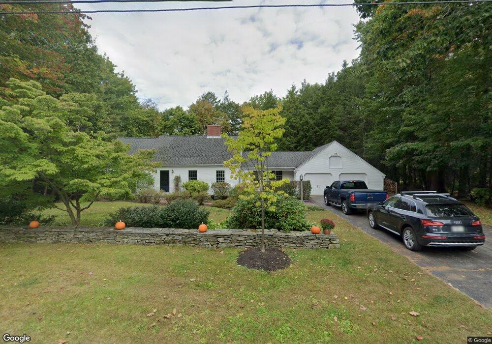
19 Stony Ridge Rd Cumberland Foreside, ME 04110
Cumberland Foreside NeighborhoodEstimated Value: $900,500 - $1,194,000
3
Beds
3
Baths
1,943
Sq Ft
$551/Sq Ft
Est. Value
About This Home
This home is located at 19 Stony Ridge Rd, Cumberland Foreside, ME 04110 and is currently estimated at $1,069,625, approximately $550 per square foot. 19 Stony Ridge Rd is a home located in Cumberland County with nearby schools including Mabel I. Wilson School, Greely Middle School 4-5, and Greely Middle School.
Ownership History
Date
Name
Owned For
Owner Type
Purchase Details
Closed on
Jun 26, 2012
Sold by
Gatz Weeks H and Weeks William
Bought by
Weeks Heidi G and Weeks William
Current Estimated Value
Home Financials for this Owner
Home Financials are based on the most recent Mortgage that was taken out on this home.
Original Mortgage
$222,500
Interest Rate
3.84%
Mortgage Type
Purchase Money Mortgage
Create a Home Valuation Report for This Property
The Home Valuation Report is an in-depth analysis detailing your home's value as well as a comparison with similar homes in the area
Home Values in the Area
Average Home Value in this Area
Purchase History
| Date | Buyer | Sale Price | Title Company |
|---|---|---|---|
| Weeks Heidi G | -- | -- |
Source: Public Records
Mortgage History
| Date | Status | Borrower | Loan Amount |
|---|---|---|---|
| Closed | Weeks Heidi G | $222,500 |
Source: Public Records
Tax History Compared to Growth
Tax History
| Year | Tax Paid | Tax Assessment Tax Assessment Total Assessment is a certain percentage of the fair market value that is determined by local assessors to be the total taxable value of land and additions on the property. | Land | Improvement |
|---|---|---|---|---|
| 2025 | $10,775 | $427,900 | $229,600 | $198,300 |
| 2024 | $9,949 | $427,900 | $229,600 | $198,300 |
| 2023 | $9,478 | $427,900 | $229,600 | $198,300 |
| 2022 | $9,071 | $427,900 | $229,600 | $198,300 |
| 2021 | $8,793 | $427,900 | $229,600 | $198,300 |
| 2020 | $8,708 | $427,900 | $229,600 | $198,300 |
| 2019 | $8,494 | $427,900 | $229,600 | $198,300 |
| 2018 | $8,365 | $424,600 | $229,600 | $195,000 |
| 2017 | $7,982 | $424,600 | $229,600 | $195,000 |
| 2016 | $7,749 | $424,600 | $229,600 | $195,000 |
| 2015 | $7,685 | $424,600 | $229,600 | $195,000 |
| 2014 | $7,388 | $424,600 | $229,600 | $195,000 |
| 2013 | $7,218 | $424,600 | $229,600 | $195,000 |
Source: Public Records
Map
Nearby Homes
- 59 Underwood Rd
- 15 Sea Cove Rd
- 30 Seaside Way Unit Lot 3
- 263 Foreside Rd
- 78 Applegate Ln
- 186 Foreside Rd
- 5 Harmony Way
- 54 Longwoods Rd
- 267 U S Route 1 Unit 308
- 267 U S Route 1 Unit 404
- 267 U S Route 1 Unit 306
- 267 U S Route 1 Unit 211
- 267 U S Route 1 Unit 309 & 311
- 267 U S Route 1 Unit 201
- 267 U S Route 1 Unit 305
- R03-54-4 Longwoods Rd
- 109 Foreside Rd
- 258 Foreside Rd
- Lot 3 Dunham Ln
- 26 Mitchellwood Dr
- 17 Stony Ridge Rd
- 21 Stony Ridge Rd
- 52 Maeves Way
- 20 Stony Ridge Rd
- 22 Stony Ridge Rd
- 18 Stony Ridge Rd
- 15 Stony Ridge Rd
- 23 Stony Ridge Rd
- 44 Maeves Way
- 44 Maeve's Way
- 16 Stony Ridge Rd
- 24 Stony Ridge Rd
- 17 Pine Ridge Rd
- 25 Stony Ridge Rd
- 15 Pine Ridge Rd
- 57 Maeve's Way
- 13 Stony Ridge Rd
- 53 Maeve's Way
- 14 Stony Ridge Rd
- 36 Maeve's Way