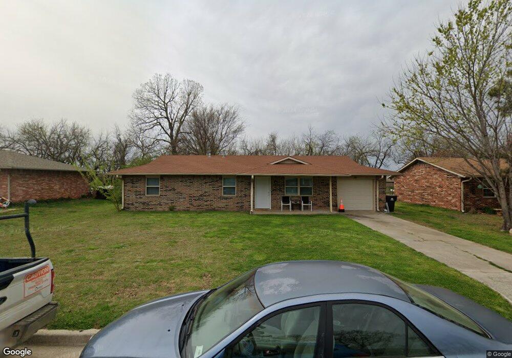
19 Sue Ln McLoud, OK 74851
Estimated Value: $157,741 - $182,000
2
Beds
1
Bath
1,144
Sq Ft
$144/Sq Ft
Est. Value
About This Home
This home is located at 19 Sue Ln, McLoud, OK 74851 and is currently estimated at $164,185, approximately $143 per square foot. 19 Sue Ln is a home located in Pottawatomie County with nearby schools including McLoud Elementary School, McLoud Intermediate School, and McLoud Junior High School.
Ownership History
Date
Name
Owned For
Owner Type
Purchase Details
Closed on
Jun 27, 2025
Sold by
Stromnes Travis Darrin
Bought by
Nash Maria D
Current Estimated Value
Home Financials for this Owner
Home Financials are based on the most recent Mortgage that was taken out on this home.
Original Mortgage
$150,590
Outstanding Balance
$149,818
Interest Rate
6.86%
Mortgage Type
FHA
Estimated Equity
$14,367
Purchase Details
Closed on
Dec 5, 2023
Sold by
Tiffin Td Llc
Bought by
Stromnes Travis Darrin
Home Financials for this Owner
Home Financials are based on the most recent Mortgage that was taken out on this home.
Original Mortgage
$122,735
Interest Rate
7.63%
Mortgage Type
FHA
Purchase Details
Closed on
Jun 23, 2022
Sold by
Leslie Slavin Forrest and Jeane Twyla
Bought by
Tiffin Td Llc
Purchase Details
Closed on
Jan 8, 2018
Sold by
Tiffin Td Llc
Bought by
Slavin Forrest Leslie and Slavin Twyla Jeanne
Home Financials for this Owner
Home Financials are based on the most recent Mortgage that was taken out on this home.
Original Mortgage
$50,589
Interest Rate
3.9%
Mortgage Type
New Conventional
Purchase Details
Closed on
Jun 12, 2017
Sold by
County Of Pottawatomie
Bought by
Tiffin Td Llc
Create a Home Valuation Report for This Property
The Home Valuation Report is an in-depth analysis detailing your home's value as well as a comparison with similar homes in the area
Home Values in the Area
Average Home Value in this Area
Purchase History
| Date | Buyer | Sale Price | Title Company |
|---|---|---|---|
| Nash Maria D | $166,000 | First American Title Insurance | |
| Stromnes Travis Darrin | $125,000 | First American Title Insurance | |
| Tiffin Td Llc | -- | None Listed On Document | |
| Slavin Forrest Leslie | $53,000 | None Available | |
| Tiffin Td Llc | $9,210 | None Available |
Source: Public Records
Mortgage History
| Date | Status | Borrower | Loan Amount |
|---|---|---|---|
| Open | Nash Maria D | $150,590 | |
| Previous Owner | Stromnes Travis Darrin | $122,735 | |
| Previous Owner | Stromnes Travis Darrin | $4,295 | |
| Previous Owner | Slavin Forrest Leslie | $50,589 |
Source: Public Records
Tax History
| Year | Tax Paid | Tax Assessment Tax Assessment Total Assessment is a certain percentage of the fair market value that is determined by local assessors to be the total taxable value of land and additions on the property. | Land | Improvement |
|---|---|---|---|---|
| 2025 | $1,343 | $14,112 | $1,200 | $12,912 |
| 2024 | $703 | $14,643 | $1,200 | $13,443 |
| 2023 | $703 | $7,730 | $540 | $7,190 |
| 2022 | $679 | $7,362 | $540 | $6,822 |
| 2021 | $840 | $7,362 | $540 | $6,822 |
| 2020 | $616 | $6,678 | $540 | $6,138 |
| 2019 | $605 | $6,360 | $540 | $5,820 |
| 2018 | $464 | $4,594 | $540 | $4,054 |
| 2017 | $606 | $5,914 | $386 | $5,528 |
| 2016 | $517 | $5,633 | $361 | $5,272 |
| 2015 | $453 | $5,364 | $384 | $4,980 |
| 2014 | $453 | $5,108 | $347 | $4,761 |
Source: Public Records
Map
Nearby Homes
- 141 Folsom Dr
- 694 8 St
- 0 Thomas Blvd Unit 1205900
- 400 S Main St
- 211 S 6th St
- 827 W Broadway Ave
- 922 W Hinchley Ave
- 13430 Dewberry Rd
- 13421 Juneberry Dr
- 13429 Juneberry Dr
- 30280 Stephens Dr
- 29805 SE 29th St
- 113 Summer Oaks Dr
- 3129 Janet Ln Unit HAR
- 101 W Oak Hill Dr
- 10 Timber Oaks Rd
- 22072 Melissa Ln
- 114 Timber Lake Dr
- 22085 Melissa Ln
- 0 SE 74th St
Your Personal Tour Guide
Ask me questions while you tour the home.