19 Swanson Rd Trenton, ME 04605
Estimated Value: $447,000 - $536,000
3
Beds
2
Baths
1,610
Sq Ft
$303/Sq Ft
Est. Value
About This Home
This home is located at 19 Swanson Rd, Trenton, ME 04605 and is currently estimated at $488,511, approximately $303 per square foot. 19 Swanson Rd is a home located in Hancock County with nearby schools including Trenton Elementary School.
Ownership History
Date
Name
Owned For
Owner Type
Purchase Details
Closed on
Jun 20, 2013
Sold by
Cynthia A Muir T
Bought by
Rush James C and Rush Kimberley B
Current Estimated Value
Home Financials for this Owner
Home Financials are based on the most recent Mortgage that was taken out on this home.
Original Mortgage
$175,600
Outstanding Balance
$124,689
Interest Rate
3.45%
Mortgage Type
Commercial
Estimated Equity
$363,822
Create a Home Valuation Report for This Property
The Home Valuation Report is an in-depth analysis detailing your home's value as well as a comparison with similar homes in the area
Home Values in the Area
Average Home Value in this Area
Purchase History
| Date | Buyer | Sale Price | Title Company |
|---|---|---|---|
| Rush James C | -- | -- |
Source: Public Records
Mortgage History
| Date | Status | Borrower | Loan Amount |
|---|---|---|---|
| Open | Rush James C | $175,600 |
Source: Public Records
Tax History Compared to Growth
Tax History
| Year | Tax Paid | Tax Assessment Tax Assessment Total Assessment is a certain percentage of the fair market value that is determined by local assessors to be the total taxable value of land and additions on the property. | Land | Improvement |
|---|---|---|---|---|
| 2024 | $3,500 | $297,900 | $64,500 | $233,400 |
| 2023 | $2,987 | $198,600 | $43,000 | $155,600 |
| 2022 | $2,803 | $201,200 | $43,000 | $158,200 |
| 2021 | $2,756 | $201,200 | $43,000 | $158,200 |
| 2020 | $2,680 | $201,200 | $43,000 | $158,200 |
| 2019 | $2,396 | $201,200 | $43,000 | $158,200 |
| 2018 | $2,165 | $201,200 | $43,000 | $158,200 |
| 2017 | $2,020 | $201,200 | $43,000 | $158,200 |
| 2016 | $2,027 | $202,100 | $43,000 | $159,100 |
| 2015 | $2,053 | $201,300 | $43,000 | $158,300 |
| 2014 | $2,045 | $200,500 | $43,000 | $157,500 |
| 2013 | $2,129 | $204,700 | $43,000 | $161,700 |
Source: Public Records
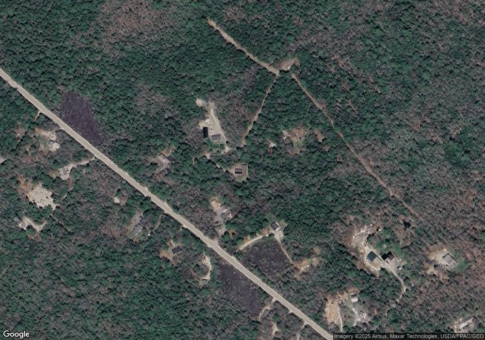
Map
Nearby Homes
- 363 Oak Point Rd
- 53 Woodland Dr
- 1274 Bayside Rd
- 26 Pressey Ln
- 58 Pressey Ln
- 001-108 Oak Point Rd
- 37 Hanna Dr
- 48 Sheltons Rd
- 1002 Bayside Rd
- 0 Bayside Road Spring Lot 3
- 0
- 0 Bayside Road Spring Lot 1
- Lot 5 Bar Harbor Rd
- 16 Blodgett Dr
- 16 Blodgett Ln
- 35 Nutting Ln
- 005 Newbury Neck Rd
- 31 Daybreak Ln
- 22 Conary Ln
- 32 Alton Ave
- 20 Swanson Rd
- 133 Goose Cove Rd
- 129 Goose Cove Rd
- 25 Swanson Rd
- 130 Goose Cove Rd
- 127 Goose Cove Rd
- 132 Goose Cove Rd
- 0 Green Acres Unit 1287824
- 0 Green Acres Unit 1287821
- 140 Goose Cove Rd
- 148 Goose Cove Rd
- Lot 13 Green Acres Rd
- 158 Goose Cove Rd
- 92 Goose Cove Rd
- 172 Goose Cove Rd
- 22 Old Brewer Farm Rd
- 30 Old Brewer Farm Rd
- 168 Goose Cove Rd
- 79 Goose Cove Rd
- 76 Goose Cove Rd