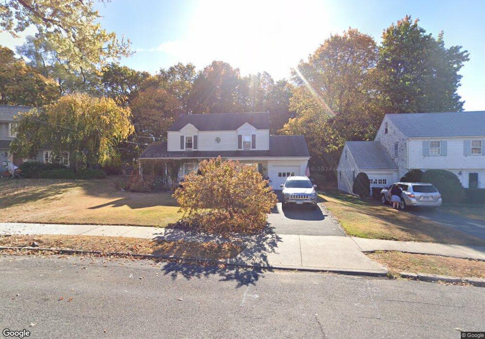
19 Sylvan Rd New Britain, CT 06053
Estimated Value: $333,332 - $367,000
2
Beds
2
Baths
1,568
Sq Ft
$227/Sq Ft
Est. Value
About This Home
This home is located at 19 Sylvan Rd, New Britain, CT 06053 and is currently estimated at $356,083, approximately $227 per square foot. 19 Sylvan Rd is a home located in Hartford County with nearby schools including Holmes School, Pulaski Middle School, and Mountain Laurel Sudbury School.
Ownership History
Date
Name
Owned For
Owner Type
Purchase Details
Closed on
Jan 15, 2008
Sold by
Naill Michael
Bought by
Stevens Sherry P
Current Estimated Value
Home Financials for this Owner
Home Financials are based on the most recent Mortgage that was taken out on this home.
Original Mortgage
$161,600
Interest Rate
6.21%
Purchase Details
Closed on
Jan 26, 2006
Sold by
Rosen Debra L
Bought by
Naill Michael
Home Financials for this Owner
Home Financials are based on the most recent Mortgage that was taken out on this home.
Original Mortgage
$155,200
Interest Rate
6.34%
Purchase Details
Closed on
Apr 14, 2003
Sold by
Angell Thomas E and Angell Judith S
Bought by
Rosen Debra L
Purchase Details
Closed on
Sep 30, 1999
Sold by
Leggett Donna M
Bought by
Angell Thomas E and Pfledenen Judith S
Create a Home Valuation Report for This Property
The Home Valuation Report is an in-depth analysis detailing your home's value as well as a comparison with similar homes in the area
Home Values in the Area
Average Home Value in this Area
Purchase History
| Date | Buyer | Sale Price | Title Company |
|---|---|---|---|
| Stevens Sherry P | $202,000 | -- | |
| Naill Michael | $194,000 | -- | |
| Rosen Debra L | $139,900 | -- | |
| Angell Thomas E | $111,000 | -- |
Source: Public Records
Mortgage History
| Date | Status | Borrower | Loan Amount |
|---|---|---|---|
| Open | Angell Thomas E | $157,520 | |
| Closed | Angell Thomas E | $161,600 | |
| Previous Owner | Angell Thomas E | $155,200 |
Source: Public Records
Tax History Compared to Growth
Tax History
| Year | Tax Paid | Tax Assessment Tax Assessment Total Assessment is a certain percentage of the fair market value that is determined by local assessors to be the total taxable value of land and additions on the property. | Land | Improvement |
|---|---|---|---|---|
| 2025 | $7,024 | $179,270 | $72,100 | $107,170 |
| 2024 | $7,097 | $179,270 | $72,100 | $107,170 |
| 2023 | $6,862 | $179,270 | $72,100 | $107,170 |
| 2022 | $5,669 | $114,520 | $33,250 | $81,270 |
| 2021 | $5,669 | $114,520 | $33,250 | $81,270 |
| 2020 | $5,783 | $114,520 | $33,250 | $81,270 |
| 2019 | $5,783 | $114,520 | $33,250 | $81,270 |
| 2018 | $5,783 | $114,520 | $33,250 | $81,270 |
| 2017 | $5,638 | $111,650 | $30,310 | $81,340 |
| 2016 | $5,638 | $111,650 | $30,310 | $81,340 |
| 2015 | $5,471 | $111,650 | $30,310 | $81,340 |
| 2014 | $5,471 | $111,650 | $30,310 | $81,340 |
Source: Public Records
Map
Nearby Homes
- 42 Highland Terrace
- 53 Park Dr
- 98 Highland Terrace
- 37 Recano Rd
- 28 Tulip St
- 23 Tulip St
- 1403 Stanley St
- 34 Oneida St
- 1251 East St Unit F
- 258 Eddy Glover Blvd
- 1243 East St Unit F
- 426 Allen St
- 343 Eddy Glover Blvd
- 394 Mcclintock St
- 2337 Stanley St
- 28 SyMcO Dr
- 38 Ledgecrest Ave
- 187 Miriam Rd
- 180 Brittany Farms Rd Unit D
- 290 Lawlor St