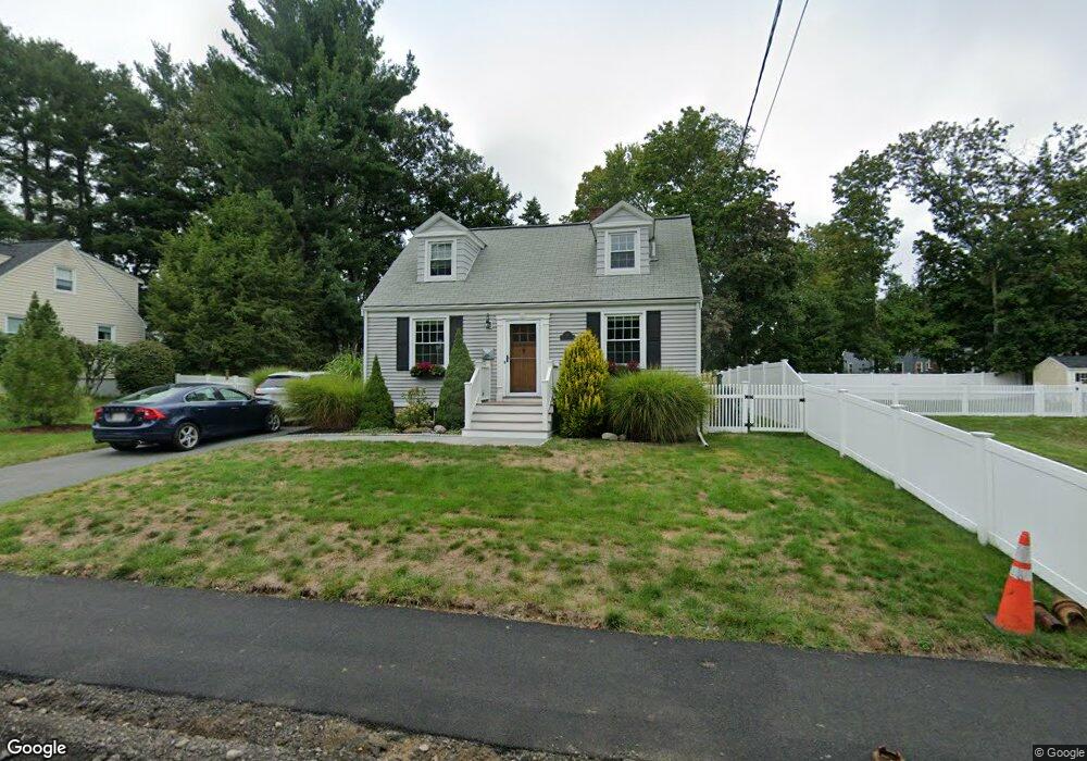
19 Sylvester Rd Natick, MA 01760
Estimated Value: $788,734 - $857,000
3
Beds
3
Baths
1,313
Sq Ft
$623/Sq Ft
Est. Value
About This Home
This home is located at 19 Sylvester Rd, Natick, MA 01760 and is currently estimated at $818,434, approximately $623 per square foot. 19 Sylvester Rd is a home located in Middlesex County with nearby schools including Natick High School, J F Kennedy Middle School, and Johnson Elementary School.
Ownership History
Date
Name
Owned For
Owner Type
Purchase Details
Closed on
May 3, 2022
Sold by
Catalano Katherine M
Bought by
Hutchins Rt 2022
Current Estimated Value
Purchase Details
Closed on
Oct 9, 2015
Sold by
Hutchins Lorna S
Bought by
Hutchins Lorna S and Hutchins Kenneth M
Purchase Details
Closed on
May 8, 2014
Sold by
Hutchins Kenneth M and Hutchins Lorna S
Bought by
Maron Dorothy M
Create a Home Valuation Report for This Property
The Home Valuation Report is an in-depth analysis detailing your home's value as well as a comparison with similar homes in the area
Home Values in the Area
Average Home Value in this Area
Purchase History
We collect this data history from publicly available records. To have your information removed, we recommend requesting removal directly through your county’s website.
| Date | Buyer | Sale Price | Title Company |
|---|---|---|---|
| Hutchins Rt 2022 | -- | None Available | |
| Catalano Katherine M | -- | None Available | |
| Hutchins Lorna S | -- | -- | |
| Maron Dorothy M | -- | -- | |
| Hutchins Lorna S | -- | -- |
Source: Public Records
Tax History
| Year | Tax Paid | Tax Assessment Tax Assessment Total Assessment is a certain percentage of the fair market value that is determined by local assessors to be the total taxable value of land and additions on the property. | Land | Improvement |
|---|---|---|---|---|
| 2025 | $7,572 | $633,100 | $426,300 | $206,800 |
| 2024 | $7,302 | $595,600 | $401,200 | $194,400 |
| 2023 | $7,303 | $577,800 | $386,000 | $191,800 |
| 2022 | $7,048 | $528,300 | $350,800 | $177,500 |
| 2021 | $6,749 | $495,900 | $330,800 | $165,100 |
| 2020 | $6,545 | $480,900 | $315,800 | $165,100 |
| 2019 | $6,112 | $480,900 | $315,800 | $165,100 |
| 2018 | $5,626 | $431,100 | $300,700 | $130,400 |
| 2017 | $5,177 | $383,800 | $255,900 | $127,900 |
| 2016 | $4,908 | $361,700 | $234,900 | $126,800 |
| 2015 | $4,854 | $351,200 | $234,900 | $116,300 |
Source: Public Records
Map
Nearby Homes
- 13 Sylvester Rd
- 3 Bunker Ln
- 38 Silver Hill Ln Unit 8
- 8 Post Oak Ln Unit 20
- 216-218 S Main St
- 92 Pond St
- 99 W Central St
- 9 Morgan Dr Unit 309
- 2 Hunters Ln
- 10 Forest Ave
- 7 Bennett St
- 89 Pond St
- 11 Morgan Dr Unit 407
- 7 Atherton St Unit 1
- 6 Ambler Ct
- 75 W Central St
- 168 Speen St
- 8 Village Way Unit 10
- 42 Village Brook Ln Unit 42
- 10 Village Green Ln Unit 19
Your Personal Tour Guide
Ask me questions while you tour the home.