19 Taber Ln Westport, MA 02790
Westport Point NeighborhoodEstimated Value: $1,059,000 - $1,634,000
4
Beds
--
Bath
3,645
Sq Ft
$374/Sq Ft
Est. Value
About This Home
This home is located at 19 Taber Ln, Westport, MA 02790 and is currently estimated at $1,364,007, approximately $374 per square foot. 19 Taber Ln is a home with nearby schools including Alice A. Macomber Primary School, Westport Elementary School, and Westport Middle-High School.
Ownership History
Date
Name
Owned For
Owner Type
Purchase Details
Closed on
Jul 24, 2008
Sold by
Point Ests Rt
Bought by
Thompson Betsy R and Thompson Robert P
Current Estimated Value
Home Financials for this Owner
Home Financials are based on the most recent Mortgage that was taken out on this home.
Original Mortgage
$187,500
Outstanding Balance
$122,667
Interest Rate
6.35%
Mortgage Type
Purchase Money Mortgage
Estimated Equity
$1,241,340
Purchase Details
Closed on
Nov 22, 2004
Sold by
Taber Kenneth W
Bought by
Point Estates Rt and Barreira Timothy L
Create a Home Valuation Report for This Property
The Home Valuation Report is an in-depth analysis detailing your home's value as well as a comparison with similar homes in the area
Home Values in the Area
Average Home Value in this Area
Purchase History
| Date | Buyer | Sale Price | Title Company |
|---|---|---|---|
| Thompson Betsy R | $250,000 | -- | |
| Point Estates Rt | -- | -- |
Source: Public Records
Mortgage History
| Date | Status | Borrower | Loan Amount |
|---|---|---|---|
| Open | Point Estates Rt | $187,500 |
Source: Public Records
Tax History
| Year | Tax Paid | Tax Assessment Tax Assessment Total Assessment is a certain percentage of the fair market value that is determined by local assessors to be the total taxable value of land and additions on the property. | Land | Improvement |
|---|---|---|---|---|
| 2025 | $6,810 | $914,100 | $213,500 | $700,600 |
| 2024 | $6,858 | $887,200 | $191,700 | $695,500 |
| 2023 | $6,110 | $748,800 | $175,700 | $573,100 |
| 2022 | $1,490 | $175,700 | $175,700 | $0 |
| 2021 | $1,402 | $162,600 | $162,600 | $0 |
| 2020 | $1,327 | $157,400 | $157,400 | $0 |
| 2019 | $1,302 | $157,400 | $157,400 | $0 |
| 2018 | $1,315 | $161,000 | $161,000 | $0 |
| 2017 | $1,303 | $163,500 | $163,500 | $0 |
| 2016 | $1,333 | $168,500 | $168,500 | $0 |
| 2015 | $1,316 | $166,000 | $166,000 | $0 |
Source: Public Records
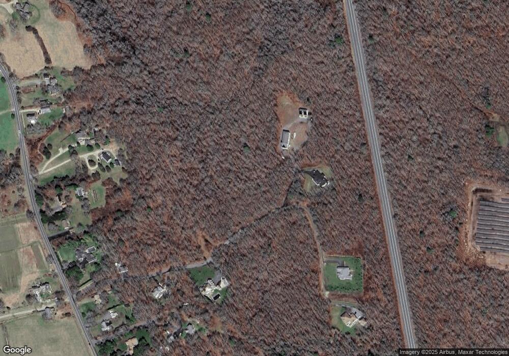
Map
Nearby Homes
- 2 Olin Howland Way
- 1702J Drift Rd
- 1371 Drift Rd
- 1702 Drift Rd
- 920 Drift Rd
- 25 Quail Trail
- 101 Adamsville Rd
- 17 Quail Trail
- 837 Main Road & Lot 2
- 245 John Dyer Rd
- 255 John Dyer Rd
- 8 Village Way
- 332 Division Rd
- 31 Brookwood Dr
- 640 Main Rd
- Lot 2 Horseneck Rd
- 116 Amy Hart Path
- 2 Slades Farm Ln
- 184 Field Stone Ln
- 238-242 E Beach Rd