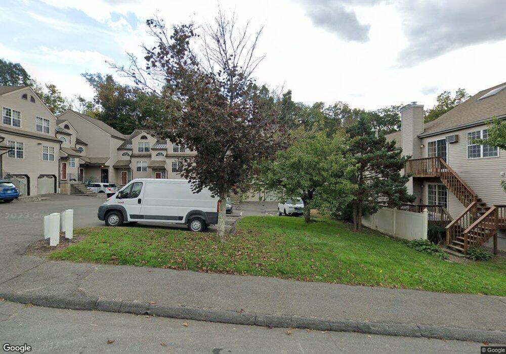
19 Taft Point Unit 62 Waterbury, CT 06708
West End District NeighborhoodEstimated Value: $141,000 - $227,000
1
Bed
1
Bath
1,094
Sq Ft
$177/Sq Ft
Est. Value
About This Home
This home is located at 19 Taft Point Unit 62, Waterbury, CT 06708 and is currently estimated at $193,104, approximately $176 per square foot. 19 Taft Point Unit 62 is a home located in New Haven County with nearby schools including B.W. Tinker School, West Side Middle School, and John F. Kennedy High School.
Ownership History
Date
Name
Owned For
Owner Type
Purchase Details
Closed on
Jun 23, 2017
Sold by
Powers Sheila M
Bought by
Kilfeather Brittney
Current Estimated Value
Home Financials for this Owner
Home Financials are based on the most recent Mortgage that was taken out on this home.
Original Mortgage
$55,800
Outstanding Balance
$46,452
Interest Rate
4.05%
Mortgage Type
New Conventional
Estimated Equity
$146,652
Purchase Details
Closed on
Jul 30, 2012
Sold by
Powers Sheila M
Bought by
Sheila M Powers Ret
Create a Home Valuation Report for This Property
The Home Valuation Report is an in-depth analysis detailing your home's value as well as a comparison with similar homes in the area
Home Values in the Area
Average Home Value in this Area
Purchase History
| Date | Buyer | Sale Price | Title Company |
|---|---|---|---|
| Kilfeather Brittney | $62,000 | -- | |
| Sheila M Powers Ret | -- | -- |
Source: Public Records
Mortgage History
| Date | Status | Borrower | Loan Amount |
|---|---|---|---|
| Open | Sheila M Powers Ret | $55,800 | |
| Closed | Sheila M Powers Ret | $30,000 |
Source: Public Records
Tax History Compared to Growth
Tax History
| Year | Tax Paid | Tax Assessment Tax Assessment Total Assessment is a certain percentage of the fair market value that is determined by local assessors to be the total taxable value of land and additions on the property. | Land | Improvement |
|---|---|---|---|---|
| 2025 | $3,199 | $71,120 | $0 | $71,120 |
| 2024 | $3,516 | $71,120 | $0 | $71,120 |
| 2023 | $3,854 | $71,120 | $0 | $71,120 |
| 2022 | $2,572 | $42,710 | $0 | $42,710 |
| 2021 | $2,572 | $42,710 | $0 | $42,710 |
| 2020 | $2,572 | $42,710 | $0 | $42,710 |
| 2019 | $2,572 | $42,710 | $0 | $42,710 |
| 2018 | $2,572 | $42,710 | $0 | $42,710 |
| 2017 | $2,811 | $46,680 | $0 | $46,680 |
| 2016 | $2,811 | $46,680 | $0 | $46,680 |
| 2015 | $2,718 | $46,680 | $0 | $46,680 |
| 2014 | -- | $46,680 | $0 | $46,680 |
Source: Public Records
Map
Nearby Homes
- 782 Oronoke Rd Unit 27
- 43 Taft Point
- 827 Oronoke Rd Unit 2-3
- 855 Oronoke Rd Unit 2
- 67 Barrington Ln
- 925 Oronoke Rd Unit 17F
- 925 Oronoke Rd Unit 14B
- 925 Oronoke Rd Unit 14F
- 925 Oronoke Rd Unit 34A
- 925 Oronoke Rd Unit 38F
- 925 Oronoke Rd Unit 29A
- 925 Oronoke Rd Unit 34G
- 197 Hickory Hill Dr
- 132 Hans Ave
- 100 Hans Ave
- 372 Anna Ave
- 135 Elise Dr
- 81 Esther Ave
- 6 Peach St
- 1385 Highland Ave Unit 20A
- 19 Taft Point Unit 72
- 19 Taft Point Unit 71
- 19 Taft Point Unit 70
- 19 Taft Point Unit 69
- 19 Taft Point Unit 68
- 19 Taft Point Unit 67
- 19 Taft Point Unit 66
- 19 Taft Point Unit 65
- 19 Taft Point Unit 64
- 19 Taft Point Unit 63
- 29 Taft Point Unit 96
- 29 Taft Point Unit 95
- 29 Taft Point Unit 94
- 29 Taft Point Unit 93
- 29 Taft Point Unit 92
- 29 Taft Point Unit 91
- 29 Taft Point Unit 90
- 29 Taft Point Unit 89
- 29 Taft Point Unit 88