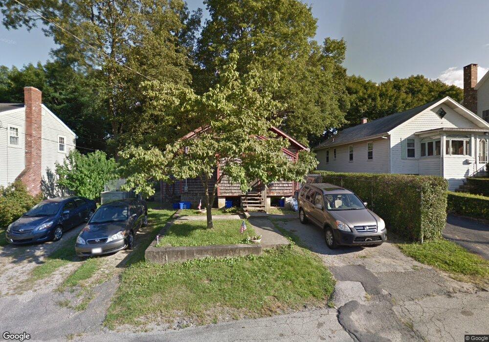
19 Taft Rd Weymouth, MA 02188
Weymouth Landing NeighborhoodEstimated Value: $473,326 - $525,000
3
Beds
1
Bath
1,058
Sq Ft
$479/Sq Ft
Est. Value
About This Home
This home is located at 19 Taft Rd, Weymouth, MA 02188 and is currently estimated at $506,832, approximately $479 per square foot. 19 Taft Rd is a home located in Norfolk County with nearby schools including Abigail Adams Middle School, Academy Avenue Elementary School, and Weymouth Middle School Chapman.
Create a Home Valuation Report for This Property
The Home Valuation Report is an in-depth analysis detailing your home's value as well as a comparison with similar homes in the area
Home Values in the Area
Average Home Value in this Area
Tax History
| Year | Tax Paid | Tax Assessment Tax Assessment Total Assessment is a certain percentage of the fair market value that is determined by local assessors to be the total taxable value of land and additions on the property. | Land | Improvement |
|---|---|---|---|---|
| 2025 | $4,346 | $430,300 | $213,700 | $216,600 |
| 2024 | $4,210 | $409,900 | $203,600 | $206,300 |
| 2023 | $3,967 | $379,600 | $188,500 | $191,100 |
| 2022 | $4,143 | $361,500 | $174,500 | $187,000 |
| 2021 | $3,749 | $319,300 | $174,500 | $144,800 |
| 2020 | $3,550 | $297,800 | $174,500 | $123,300 |
| 2019 | $3,465 | $285,900 | $167,800 | $118,100 |
| 2018 | $3,365 | $269,200 | $159,800 | $109,400 |
| 2017 | $3,232 | $252,300 | $152,200 | $100,100 |
| 2016 | $2,911 | $227,400 | $146,400 | $81,000 |
| 2015 | $2,793 | $216,500 | $139,700 | $76,800 |
| 2014 | $2,713 | $204,000 | $130,000 | $74,000 |
Source: Public Records
Map
Nearby Homes
- 211 Roosevelt Rd
- 49 Cornish St
- 46 Roosevelt Rd
- 70 Biscayne Ave
- 47 Academy Ave
- 19 Vine St Unit 3
- 19 Vine St Unit 2
- 29-31 Broad Street Place
- 25 Richmond St
- 70 Colonial Rd
- 78 Middle St
- 11 Richmond St
- 148 Chard St
- 122 Washington St Unit Twenty-two
- 10 Marion Rd
- 16 Beechwood Rd
- 270 Middle St
- 33 Congress St
- 573 Broad St Unit 325
- 54 Edgemont Rd
Your Personal Tour Guide
Ask me questions while you tour the home.