19 Thaxter Ln Kittery Point, ME 03905
Kittery Point NeighborhoodEstimated Value: $1,382,000 - $2,163,000
3
Beds
2
Baths
2,303
Sq Ft
$797/Sq Ft
Est. Value
About This Home
This home is located at 19 Thaxter Ln, Kittery Point, ME 03905 and is currently estimated at $1,834,607, approximately $796 per square foot. 19 Thaxter Ln is a home located in York County with nearby schools including Horace Mitchell Primary School, Shapleigh School, and Robert W Traip Academy.
Ownership History
Date
Name
Owned For
Owner Type
Purchase Details
Closed on
Nov 9, 2022
Sold by
Tokowicz Richard and Tomkins Barbara
Bought by
Kittery Rt T
Current Estimated Value
Purchase Details
Closed on
Dec 18, 2006
Sold by
Mcdonald Daphne G and Mcdonald Stephen A
Bought by
Tomkins Barbara and Tokowicz Richard
Home Financials for this Owner
Home Financials are based on the most recent Mortgage that was taken out on this home.
Original Mortgage
$630,400
Interest Rate
6.31%
Mortgage Type
Purchase Money Mortgage
Create a Home Valuation Report for This Property
The Home Valuation Report is an in-depth analysis detailing your home's value as well as a comparison with similar homes in the area
Home Values in the Area
Average Home Value in this Area
Purchase History
| Date | Buyer | Sale Price | Title Company |
|---|---|---|---|
| Kittery Rt T | -- | None Available | |
| Tomkins Barbara | -- | -- |
Source: Public Records
Mortgage History
| Date | Status | Borrower | Loan Amount |
|---|---|---|---|
| Previous Owner | Tomkins Barbara | $630,400 |
Source: Public Records
Tax History Compared to Growth
Tax History
| Year | Tax Paid | Tax Assessment Tax Assessment Total Assessment is a certain percentage of the fair market value that is determined by local assessors to be the total taxable value of land and additions on the property. | Land | Improvement |
|---|---|---|---|---|
| 2024 | $16,157 | $1,137,800 | $444,400 | $693,400 |
| 2023 | $15,485 | $1,137,800 | $444,400 | $693,400 |
| 2022 | $15,338 | $1,137,800 | $444,400 | $693,400 |
| 2021 | $14,791 | $1,137,800 | $444,400 | $693,400 |
| 2020 | $14,678 | $1,137,800 | $444,400 | $693,400 |
| 2019 | $18,983 | $1,091,000 | $553,500 | $537,500 |
| 2018 | $18,329 | $1,091,000 | $553,500 | $537,500 |
| 2017 | $18,002 | $1,091,000 | $553,500 | $537,500 |
| 2016 | $17,432 | $1,086,100 | $553,500 | $532,600 |
| 2015 | $17,019 | $1,086,100 | $553,500 | $532,600 |
| 2014 | $16,856 | $1,086,100 | $553,500 | $532,600 |
| 2013 | $16,530 | $1,086,100 | $553,500 | $532,600 |
Source: Public Records
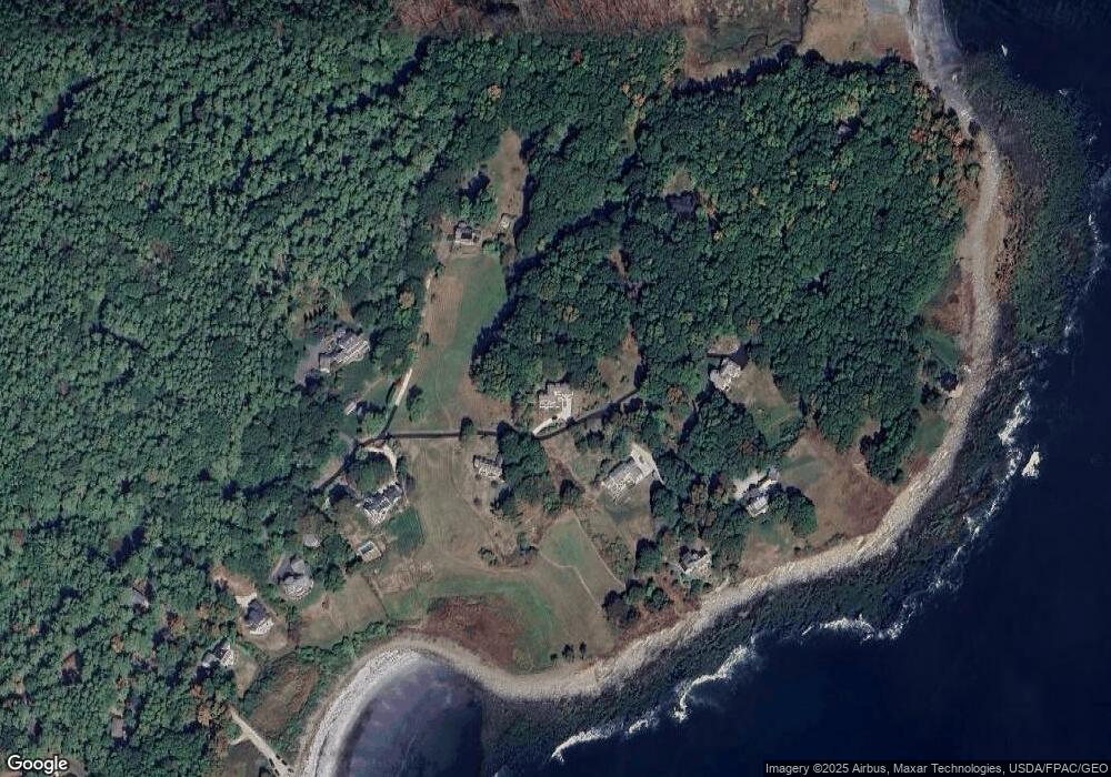
Map
Nearby Homes
- 39 Tenney Hill Rd
- 301 Route 103
- 2 Washburn Farm Ln Unit 1
- 7 Washburn Farm Ln Unit 9
- 25 Bartlett Rd
- 12 Washburn Farm Ln Unit 3
- 25 Brave Boat Harbor Rd
- 109 Bartlett Rd
- 18 Washburn Farm Ln Unit 4
- 20 Washburn Farm Ln Unit 5
- 132 Pepperrell Rd
- 13 Washburn Farm Ln Unit 7
- 72 Pepperrell Rd
- 78 Norton Rd Unit 6
- 3 Izzy Ln
- 2 Woodside Meadow Rd
- 357 Southside Rd
- 299 Haley Rd
- 50 Lewis Rd
- 18 Woodside Meadow Rd Unit 4