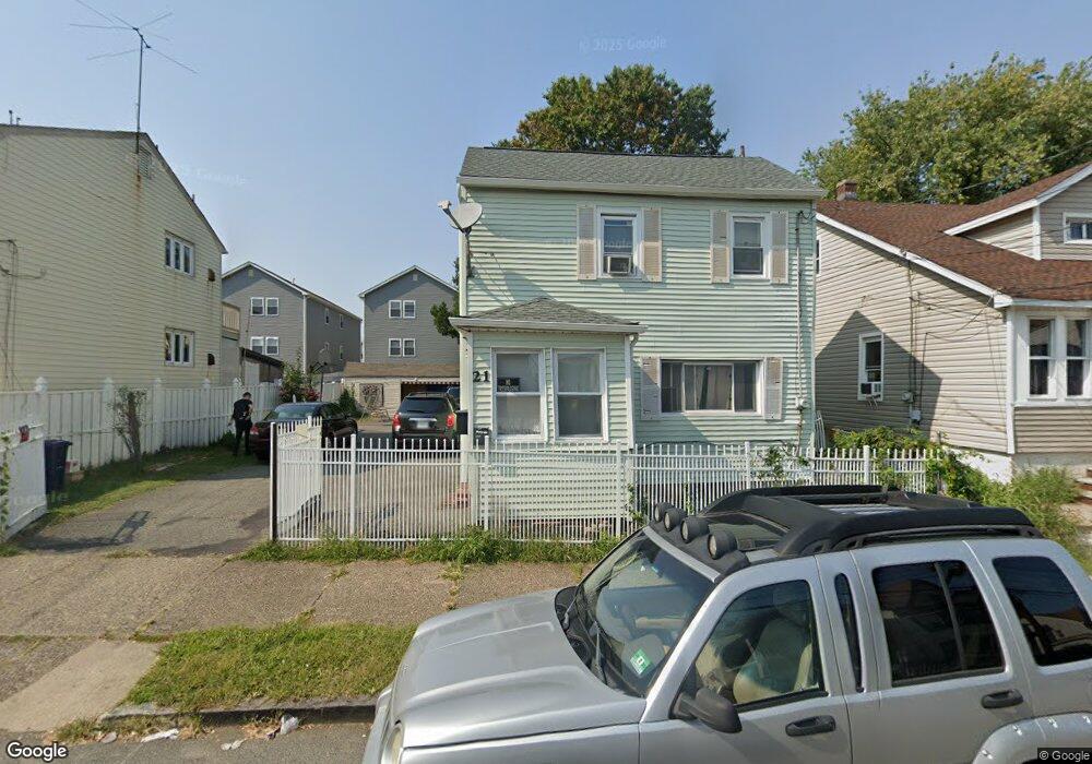
19 Thomas St Unit 21 Paterson, NJ 07503
South Paterson NeighborhoodEstimated Value: $191,000 - $592,000
Studio
--
Bath
1,332
Sq Ft
$333/Sq Ft
Est. Value
About This Home
This home is located at 19 Thomas St Unit 21, Paterson, NJ 07503 and is currently estimated at $443,108, approximately $332 per square foot. 19 Thomas St Unit 21 is a home located in Passaic County with nearby schools including Dale Avenue Elementary School, Edward W. Kilpatrick School of Discovery, and Paterson Public School No. 3.
Ownership History
Date
Name
Owned For
Owner Type
Purchase Details
Closed on
Sep 20, 2021
Sold by
Sam And Omar Llc
Bought by
Azim Sahar F
Current Estimated Value
Purchase Details
Closed on
Feb 1, 2016
Sold by
Azim Sahar F
Bought by
Sam And Omar Llc
Purchase Details
Closed on
Mar 28, 2013
Sold by
Poblete George and Poblete Cynthia
Bought by
Azim Sahar F
Create a Home Valuation Report for This Property
The Home Valuation Report is an in-depth analysis detailing your home's value as well as a comparison with similar homes in the area
Home Values in the Area
Average Home Value in this Area
Purchase History
| Date | Buyer | Sale Price | Title Company |
|---|---|---|---|
| Azim Sahar F | -- | None Available | |
| Azim Sahar F | -- | Scillieri David | |
| Sam And Omar Llc | -- | None Available | |
| Azim Sahar F | $60,000 | None Available |
Source: Public Records
Tax History
| Year | Tax Paid | Tax Assessment Tax Assessment Total Assessment is a certain percentage of the fair market value that is determined by local assessors to be the total taxable value of land and additions on the property. | Land | Improvement |
|---|---|---|---|---|
| 2025 | $8,070 | $158,400 | $63,800 | $94,600 |
| 2024 | $7,766 | $158,400 | $63,800 | $94,600 |
| 2022 | $7,353 | $158,400 | $63,800 | $94,600 |
| 2021 | $7,090 | $158,400 | $63,800 | $94,600 |
| 2020 | $6,613 | $158,400 | $63,800 | $94,600 |
| 2019 | $6,408 | $155,000 | $62,600 | $92,400 |
| 2018 | $6,619 | $153,000 | $62,100 | $90,900 |
| 2017 | $6,323 | $152,000 | $61,800 | $90,200 |
| 2016 | $6,955 | $160,300 | $65,000 | $95,300 |
| 2015 | $6,585 | $160,300 | $65,000 | $95,300 |
| 2014 | $6,960 | $240,000 | $147,400 | $92,600 |
Source: Public Records
Map
Nearby Homes
- 27 Robert St Unit 29
- 7 Montclair Ave
- 146-148 Bloomfield Ave
- 92 Bloomfield Ave
- 355-357 Getty Ave
- 357-361 Getty Ave
- 339 Paxton St
- 80 Newark Ave
- 45 Dey St
- 235 Dakota St Unit 10
- 11 Adams St
- 28 Butler St
- 35-37 Montclair Ave
- 19 Inwood St
- 65 Levine St
- 445 Marshall St
- 439 Marshall St
- 69-71 Crooks Ave
- 209 Michigan Ave Unit 211
- 148 Barclay St
- 23 Thomas St Unit 25
- 19-21 Thomas St
- 29 Thomas St Unit 31
- 27 Thomas St
- 13 Thomas St Unit 17
- 22 Thomas St Unit 24
- 20 Thomas St Unit 22
- 26 Thomas St Unit 28
- 29-31 Thomas St
- 22 Robert St
- 20 Robert St
- 24 Robert St
- 16 Thomas St Unit 18
- 30 Thomas St Unit 32
- 30 Thomas St Unit 2
- 14-16 Thomas St
- 14 Thomas St Unit 16
- 30-32 Thomas St
- 14 Robert St
- 12 Thomas St
Your Personal Tour Guide
Ask me questions while you tour the home.