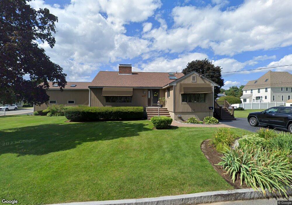
19 Thornton St Woburn, MA 01801
Cummingsville NeighborhoodEstimated Value: $798,000 - $957,000
3
Beds
4
Baths
1,404
Sq Ft
$599/Sq Ft
Est. Value
About This Home
This home is located at 19 Thornton St, Woburn, MA 01801 and is currently estimated at $841,220, approximately $599 per square foot. 19 Thornton St is a home located in Middlesex County with nearby schools including Hurld Elementary School, Daniel L. Joyce Middle School, and Woburn High School.
Ownership History
Date
Name
Owned For
Owner Type
Purchase Details
Closed on
Jul 24, 2019
Sold by
Cierri Anthony J and Cierri Cynthia J
Bought by
19 Thornton Street Rt and Cierri
Current Estimated Value
Purchase Details
Closed on
Aug 22, 2008
Sold by
19 Thornton Street Rt and Cierri
Bought by
Cierri Anthony J and Cierri Cynthia J
Purchase Details
Closed on
Jun 21, 2007
Sold by
Cassidy Ft and Cuozzi
Bought by
Thornton Street Rt and Cerri
Purchase Details
Closed on
Mar 25, 2003
Sold by
Cierri Anthony J and Cierri Cynthia
Bought by
Tr 19 Thornton St and Tr Cynthia Cierri
Create a Home Valuation Report for This Property
The Home Valuation Report is an in-depth analysis detailing your home's value as well as a comparison with similar homes in the area
Home Values in the Area
Average Home Value in this Area
Purchase History
| Date | Buyer | Sale Price | Title Company |
|---|---|---|---|
| 19 Thornton Street Rt | -- | -- | |
| 19 Thornton Street Rt | -- | -- | |
| Cierri Anthony J | -- | -- | |
| Cierri Anthony J | -- | -- | |
| Thornton Street Rt | $1,740 | -- | |
| Thornton Street Rt | $1,740 | -- | |
| Tr 19 Thornton St | -- | -- | |
| Tr 19 Thornton St | -- | -- |
Source: Public Records
Mortgage History
| Date | Status | Borrower | Loan Amount |
|---|---|---|---|
| Previous Owner | Tr 19 Thornton St | $164,000 | |
| Previous Owner | Tr 19 Thornton St | $98,000 |
Source: Public Records
Tax History Compared to Growth
Tax History
| Year | Tax Paid | Tax Assessment Tax Assessment Total Assessment is a certain percentage of the fair market value that is determined by local assessors to be the total taxable value of land and additions on the property. | Land | Improvement |
|---|---|---|---|---|
| 2025 | $6,197 | $725,600 | $371,900 | $353,700 |
| 2024 | $5,707 | $708,100 | $354,400 | $353,700 |
| 2023 | $5,778 | $664,100 | $322,100 | $342,000 |
| 2022 | $5,660 | $606,000 | $280,600 | $325,400 |
| 2021 | $32 | $572,800 | $267,400 | $305,400 |
| 2020 | $5,076 | $544,600 | $267,400 | $277,200 |
| 2019 | $4,862 | $511,800 | $254,800 | $257,000 |
| 2018 | $4,651 | $470,300 | $234,100 | $236,200 |
| 2017 | $8,070 | $416,400 | $223,100 | $193,300 |
| 2016 | $3,958 | $393,800 | $208,800 | $185,000 |
| 2015 | -- | $381,100 | $195,300 | $185,800 |
| 2014 | -- | $376,500 | $195,300 | $181,200 |
Source: Public Records
Map
Nearby Homes
- 18 Winn Valley Dr
- 12 Cassidy Dr
- 68 Hammond Place Unit 68
- 19 Hammond Place Unit 19
- 36 Cambridge Rd Unit 40
- 29 Overlook Ave
- 4 Ardmore Ave
- 7 Locust St
- 123 Cambridge Rd Unit 4
- 17 Wright St
- 0 Johnson Rd
- 82 Lowell St
- 185 Lexington St
- 192 Lexington St
- 50 Hill Cir
- 18 Hamilton Rd
- 26 Flagg St
- 29 Grove Ln Unit 29
- 18 Beacon St Unit 18
- 37 1/2 Chestnut St