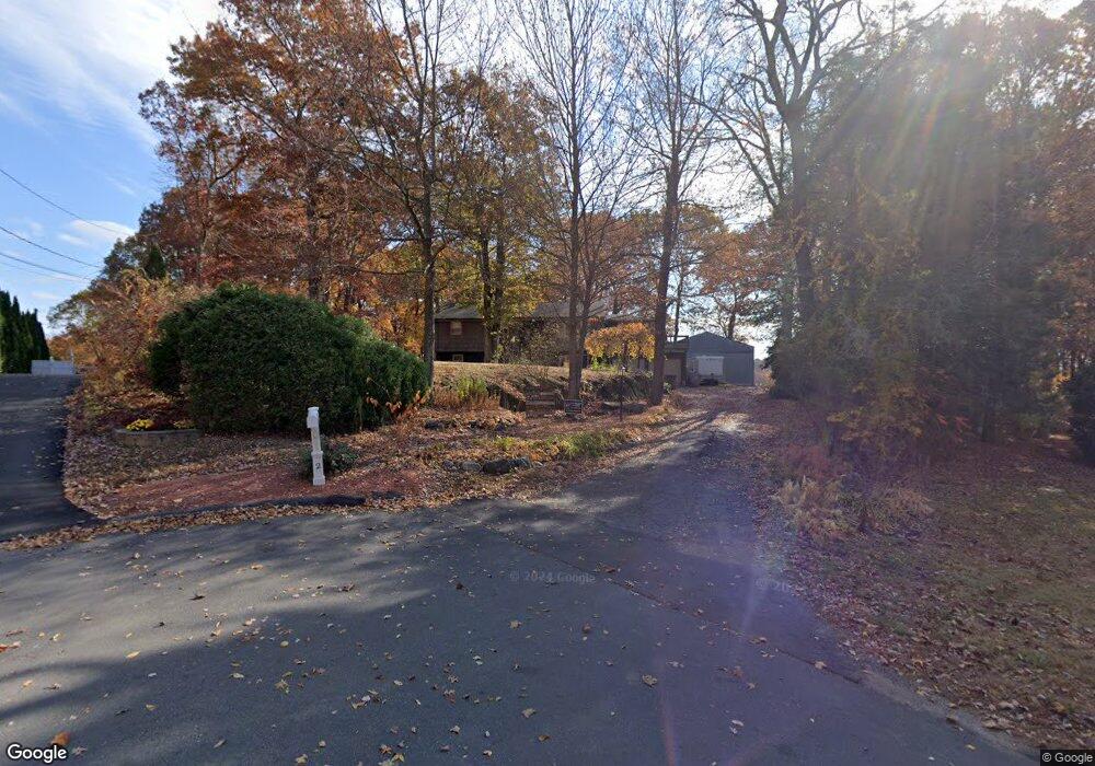
19 Topsfield Rd Bristol, CT 06010
South Bristol NeighborhoodEstimated Value: $314,379 - $346,000
3
Beds
1
Bath
1,113
Sq Ft
$297/Sq Ft
Est. Value
About This Home
This home is located at 19 Topsfield Rd, Bristol, CT 06010 and is currently estimated at $330,095, approximately $296 per square foot. 19 Topsfield Rd is a home located in Hartford County with nearby schools including Chippens Hill Middle School, Bristol Central High School, and Immanuel Lutheran School.
Ownership History
Date
Name
Owned For
Owner Type
Purchase Details
Closed on
Oct 3, 2022
Sold by
Wurzinger David R Est and Barrette
Bought by
Vanwyngaarden Elyse and Santiago Erickson
Current Estimated Value
Home Financials for this Owner
Home Financials are based on the most recent Mortgage that was taken out on this home.
Original Mortgage
$206,100
Outstanding Balance
$196,432
Interest Rate
5.13%
Mortgage Type
Purchase Money Mortgage
Estimated Equity
$133,663
Purchase Details
Closed on
Jun 7, 1990
Sold by
Krey Andrew E V
Bought by
Wurzinger David R
Home Financials for this Owner
Home Financials are based on the most recent Mortgage that was taken out on this home.
Original Mortgage
$133,000
Interest Rate
10.39%
Mortgage Type
Purchase Money Mortgage
Create a Home Valuation Report for This Property
The Home Valuation Report is an in-depth analysis detailing your home's value as well as a comparison with similar homes in the area
Home Values in the Area
Average Home Value in this Area
Purchase History
| Date | Buyer | Sale Price | Title Company |
|---|---|---|---|
| Vanwyngaarden Elyse | $229,000 | None Available | |
| Wurzinger David R | $148,000 | -- |
Source: Public Records
Mortgage History
| Date | Status | Borrower | Loan Amount |
|---|---|---|---|
| Open | Vanwyngaarden Elyse | $206,100 | |
| Previous Owner | Wurzinger David R | $133,000 | |
| Previous Owner | Wurzinger David R | $160,167 | |
| Previous Owner | Wurzinger David R | $133,000 |
Source: Public Records
Tax History Compared to Growth
Tax History
| Year | Tax Paid | Tax Assessment Tax Assessment Total Assessment is a certain percentage of the fair market value that is determined by local assessors to be the total taxable value of land and additions on the property. | Land | Improvement |
|---|---|---|---|---|
| 2025 | $5,304 | $157,150 | $36,400 | $120,750 |
| 2024 | $5,005 | $157,150 | $36,400 | $120,750 |
| 2023 | $4,770 | $157,150 | $36,400 | $120,750 |
| 2022 | $4,303 | $112,210 | $27,090 | $85,120 |
| 2021 | $4,303 | $112,210 | $27,090 | $85,120 |
| 2020 | $4,303 | $112,210 | $27,090 | $85,120 |
| 2019 | $4,270 | $112,210 | $27,090 | $85,120 |
| 2018 | $4,138 | $112,210 | $27,090 | $85,120 |
| 2017 | $4,058 | $112,630 | $38,640 | $73,990 |
| 2016 | $4,058 | $112,630 | $38,640 | $73,990 |
| 2015 | $3,898 | $112,630 | $38,640 | $73,990 |
| 2014 | $3,898 | $112,630 | $38,640 | $73,990 |
Source: Public Records
Map
Nearby Homes
- 351 Witches Rock Rd
- 115 Old Wolcott Rd
- 66 Mattatuck Rd
- 140 Corbin Ridge
- 145 Corbin Ridge
- 101 Corbin Ridge
- 489 Wolcott St Unit 46
- 489 Wolcott St Unit 47
- 489 Wolcott St Unit 25
- 489 Wolcott St Unit 85
- 26 Kilmartin Ave
- 20 Brookview Cir
- 115 Kilmartin Ave
- 13 Overlook Terrace
- 47 Eastview Rd
- 22 Overlook Terrace
- 93-95 Eastview Rd
- 27 Club Ln
- 180 Peck Ln
- 4 Fall Mountain Terrace