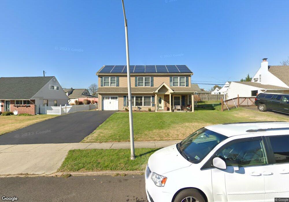
19 Towpath Rd Levittown, PA 19056
Estimated Value: $445,000 - $507,000
4
Beds
3
Baths
2,251
Sq Ft
$210/Sq Ft
Est. Value
About This Home
This home is located at 19 Towpath Rd, Levittown, PA 19056 and is currently estimated at $472,559, approximately $209 per square foot. 19 Towpath Rd is a home located in Bucks County with nearby schools including Pearl S. Buck Elementary School, Maple Point Middle School, and Neshaminy High School.
Ownership History
Date
Name
Owned For
Owner Type
Purchase Details
Closed on
Jan 18, 2019
Sold by
Devine Cheryl A and Chamberlain Cheryl A
Bought by
Chamberlain Cheryl A
Current Estimated Value
Home Financials for this Owner
Home Financials are based on the most recent Mortgage that was taken out on this home.
Original Mortgage
$158,730
Outstanding Balance
$139,704
Interest Rate
4.75%
Mortgage Type
FHA
Estimated Equity
$332,855
Purchase Details
Closed on
Nov 29, 2018
Sold by
Chamberlain Albert L
Bought by
Devine Cheryl A
Home Financials for this Owner
Home Financials are based on the most recent Mortgage that was taken out on this home.
Original Mortgage
$158,730
Outstanding Balance
$139,704
Interest Rate
4.75%
Mortgage Type
FHA
Estimated Equity
$332,855
Purchase Details
Closed on
Jan 16, 1996
Sold by
Chamberlain William J
Bought by
Chamberlain Albert L
Home Financials for this Owner
Home Financials are based on the most recent Mortgage that was taken out on this home.
Original Mortgage
$35,000
Interest Rate
7.16%
Purchase Details
Closed on
Aug 4, 1958
Bought by
Chamberlain Wm J and Chamberlain Esther M
Create a Home Valuation Report for This Property
The Home Valuation Report is an in-depth analysis detailing your home's value as well as a comparison with similar homes in the area
Home Values in the Area
Average Home Value in this Area
Purchase History
| Date | Buyer | Sale Price | Title Company |
|---|---|---|---|
| Chamberlain Cheryl A | -- | None Available | |
| Devine Cheryl A | $300,000 | First Source Title Agency In | |
| Chamberlain Albert L | $116,500 | -- | |
| Chamberlain Wm J | -- | -- |
Source: Public Records
Mortgage History
| Date | Status | Borrower | Loan Amount |
|---|---|---|---|
| Open | Devine Cheryl A | $158,730 | |
| Previous Owner | Chamberlain Albert L | $35,000 |
Source: Public Records
Tax History Compared to Growth
Tax History
| Year | Tax Paid | Tax Assessment Tax Assessment Total Assessment is a certain percentage of the fair market value that is determined by local assessors to be the total taxable value of land and additions on the property. | Land | Improvement |
|---|---|---|---|---|
| 2025 | $5,950 | $27,330 | $4,320 | $23,010 |
| 2024 | $5,950 | $27,330 | $4,320 | $23,010 |
| 2023 | $5,855 | $27,330 | $4,320 | $23,010 |
| 2022 | $5,702 | $27,330 | $4,320 | $23,010 |
| 2021 | $5,702 | $27,330 | $4,320 | $23,010 |
| 2020 | $5,633 | $27,330 | $4,320 | $23,010 |
| 2019 | $5,508 | $27,330 | $4,320 | $23,010 |
| 2018 | $5,406 | $27,330 | $4,320 | $23,010 |
| 2017 | $5,268 | $27,330 | $4,320 | $23,010 |
| 2016 | $5,268 | $27,330 | $4,320 | $23,010 |
| 2015 | $5,458 | $27,330 | $4,320 | $23,010 |
| 2014 | $5,458 | $27,330 | $4,320 | $23,010 |
Source: Public Records
Map
Nearby Homes
- 43 Tweed Rd
- 59 Liberty Dr
- 208 Suffolk Rd
- 208 Trenton Rd
- 225 Yorkshire Rd Unit HIII
- 245 Trenton Rd
- 212 Apple St
- 5 Foxfern Dr
- 01 Kyle Ln
- 000 Kyle Ln
- 114 Nursery Ave
- 134 Lincoln Hwy Unit 11
- 19 Cobalt Ridge Dr N
- 1977 4th St
- 23 Crystal Place
- 1776 1st St
- 29 Hope Rd
- 14 Cinnamon Rd
- 46 Hydrangea Rd
- 111 Hoover Dr