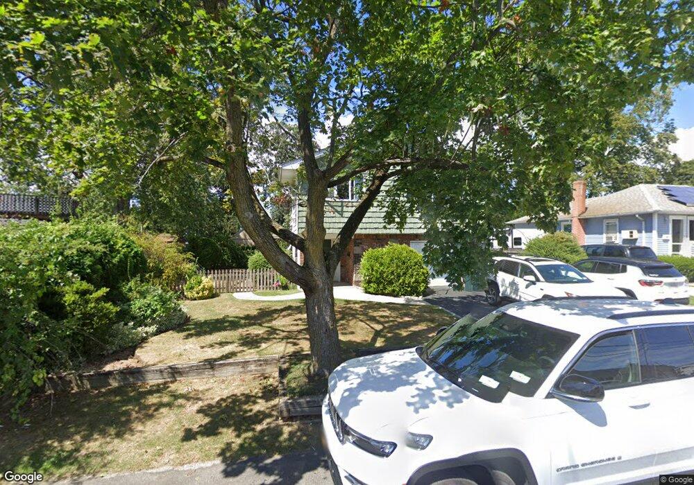
19 Tremont Rd Lindenhurst, NY 11757
Estimated Value: $612,240 - $771,000
--
Bed
--
Bath
2,216
Sq Ft
$312/Sq Ft
Est. Value
About This Home
This home is located at 19 Tremont Rd, Lindenhurst, NY 11757 and is currently estimated at $690,560, approximately $311 per square foot. 19 Tremont Rd is a home located in Suffolk County with nearby schools including William Rall School, Lindenhurst Middle School, and Lindenhurst Senior High School.
Ownership History
Date
Name
Owned For
Owner Type
Purchase Details
Closed on
May 4, 2022
Sold by
Bartlett Angela and Angiporti Diane
Bought by
Napolitano Zachary and Chakravarty Anjali
Current Estimated Value
Home Financials for this Owner
Home Financials are based on the most recent Mortgage that was taken out on this home.
Original Mortgage
$498,750
Interest Rate
4.72%
Mortgage Type
Stand Alone Refi Refinance Of Original Loan
Purchase Details
Closed on
Jan 31, 2006
Create a Home Valuation Report for This Property
The Home Valuation Report is an in-depth analysis detailing your home's value as well as a comparison with similar homes in the area
Home Values in the Area
Average Home Value in this Area
Purchase History
| Date | Buyer | Sale Price | Title Company |
|---|---|---|---|
| Napolitano Zachary | $525,000 | None Available | |
| Napolitano Zachary | $525,000 | None Available | |
| -- | -- | -- | |
| -- | -- | -- |
Source: Public Records
Mortgage History
| Date | Status | Borrower | Loan Amount |
|---|---|---|---|
| Previous Owner | Napolitano Zachary | $498,750 |
Source: Public Records
Tax History Compared to Growth
Tax History
| Year | Tax Paid | Tax Assessment Tax Assessment Total Assessment is a certain percentage of the fair market value that is determined by local assessors to be the total taxable value of land and additions on the property. | Land | Improvement |
|---|---|---|---|---|
| 2024 | $18,779 | $4,040 | $330 | $3,710 |
| 2023 | $18,779 | $4,040 | $330 | $3,710 |
| 2022 | $8,546 | $4,040 | $330 | $3,710 |
| 2021 | $8,546 | $4,040 | $330 | $3,710 |
| 2020 | $10,472 | $4,040 | $330 | $3,710 |
| 2019 | $10,472 | $0 | $0 | $0 |
| 2018 | $9,837 | $4,040 | $330 | $3,710 |
| 2017 | $9,837 | $4,040 | $330 | $3,710 |
| 2016 | $9,793 | $4,040 | $330 | $3,710 |
| 2015 | -- | $4,040 | $330 | $3,710 |
| 2014 | -- | $4,040 | $330 | $3,710 |
Source: Public Records
Map
Nearby Homes
- 48 Farmers Ave
- 10 Winchester Dr
- 350 52nd St
- 336 51st St
- 165 Tremont Rd
- 1221 Jackson Ave
- 65 Marie St
- 156 Farmers Ave
- 413 51st St
- 89 Marie St
- 940 N Erie Ave
- 957 N Fulton Ave
- 0 Tenety Ave Unit 3461459
- 353 49th St
- 10 Paine St
- 430 Heathcote Rd
- 456 Heathcote Rd
- 45 Feustal St
- 847 N Clinton Ave
- 16 Burton Place
- 23 Tremont Rd
- 1613 Straight Path
- 218 Sherbrooke Rd
- 29 Tremont Rd
- 26 Tremont Rd
- 30 Tremont Rd
- 22 Tremont Rd
- 18 Tremont Rd
- 36 Tremont Rd
- 226 Sherbrooke Rd
- 230 Sherbrooke Rd
- 211 Sherbrooke Rd
- 207 Sherbrooke Rd
- 217 Heathcote Rd
- 42 Tremont Rd
- 43 Tremont Rd
- 229 Heathcote Rd
- 203 Sherbrooke Rd
- 211 Heathcote Rd
- 225 Heathcote Rd