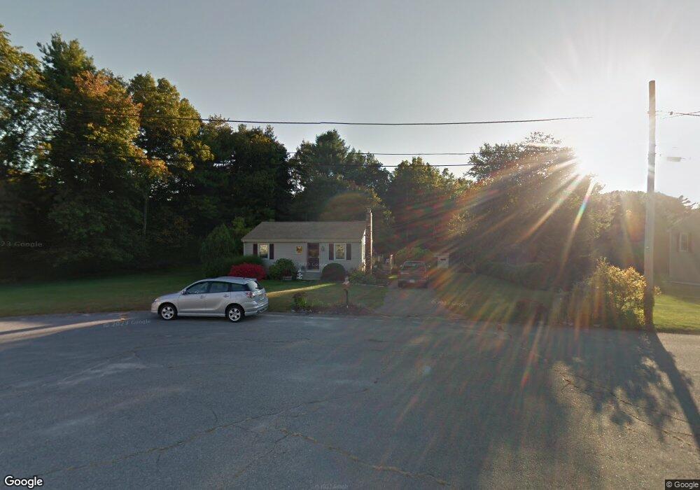
19 Trisina Cir Attleboro, MA 02703
Estimated Value: $426,000 - $509,000
2
Beds
1
Bath
720
Sq Ft
$649/Sq Ft
Est. Value
About This Home
This home is located at 19 Trisina Cir, Attleboro, MA 02703 and is currently estimated at $467,390, approximately $649 per square foot. 19 Trisina Cir is a home located in Bristol County with nearby schools including Thomas E. Willett School, Cyril K. Brennan Middle School, and Attleboro High School.
Ownership History
Date
Name
Owned For
Owner Type
Purchase Details
Closed on
Sep 28, 2000
Sold by
Jacome Matthew and Jacome Shannon
Bought by
Cobuccio John M and Cobuccio Jeanene R
Current Estimated Value
Purchase Details
Closed on
Jul 3, 1997
Sold by
Department Of Housing & Urban Dev
Bought by
Jacome Matthew and Jacome Shannon
Purchase Details
Closed on
May 5, 1997
Sold by
Fleet Mtg Corp
Bought by
Fleet Mtg Corp
Purchase Details
Closed on
Sep 3, 1991
Sold by
Berard Gary J
Bought by
Corriveau Albert and Corriveau Laura
Purchase Details
Closed on
Apr 11, 1990
Sold by
Kelly Michael J
Bought by
Berard Gary J
Create a Home Valuation Report for This Property
The Home Valuation Report is an in-depth analysis detailing your home's value as well as a comparison with similar homes in the area
Home Values in the Area
Average Home Value in this Area
Purchase History
| Date | Buyer | Sale Price | Title Company |
|---|---|---|---|
| Cobuccio John M | $163,000 | -- | |
| Jacome Matthew | $95,001 | -- | |
| Fleet Mtg Corp | $148,673 | -- | |
| Corriveau Albert | $128,764 | -- | |
| Berard Gary J | $127,900 | -- |
Source: Public Records
Mortgage History
| Date | Status | Borrower | Loan Amount |
|---|---|---|---|
| Open | Berard Gary J | $170,000 | |
| Closed | Berard Gary J | $162,095 |
Source: Public Records
Tax History Compared to Growth
Tax History
| Year | Tax Paid | Tax Assessment Tax Assessment Total Assessment is a certain percentage of the fair market value that is determined by local assessors to be the total taxable value of land and additions on the property. | Land | Improvement |
|---|---|---|---|---|
| 2025 | $4,773 | $380,300 | $174,500 | $205,800 |
| 2024 | $4,419 | $347,100 | $157,100 | $190,000 |
| 2023 | $4,407 | $321,900 | $158,700 | $163,200 |
| 2022 | $4,258 | $294,700 | $151,300 | $143,400 |
| 2021 | $3,974 | $268,500 | $145,500 | $123,000 |
| 2020 | $3,807 | $261,500 | $138,900 | $122,600 |
| 2019 | $3,632 | $256,500 | $136,300 | $120,200 |
| 2018 | $3,570 | $240,900 | $132,300 | $108,600 |
| 2017 | $3,296 | $226,500 | $128,900 | $97,600 |
| 2016 | $3,145 | $212,200 | $120,300 | $91,900 |
| 2015 | $3,138 | $213,300 | $120,300 | $93,000 |
| 2014 | $2,937 | $197,800 | $115,100 | $82,700 |
Source: Public Records
Map
Nearby Homes
- 11 Buckthorn Ln
- 21 Shady Ln
- 20 Sperry Ln
- 255 Mckeon Dr
- 115 Westfield Dr
- 747 N Main St
- 196 Donald Tennant Cir
- 678 N Main St
- 10 Hazelwood Ct
- 158 Ivy St
- 57 Vine St
- 59 Laurelwood Dr
- 11 Landry Ave
- 451R Gilbert St
- 150 Gilbert St
- 71 Richardson Ave
- 136 Lindsey St
- Lot 2 Jeffrey Dr
- 107 Birchwood Dr
- 29 Lyman St