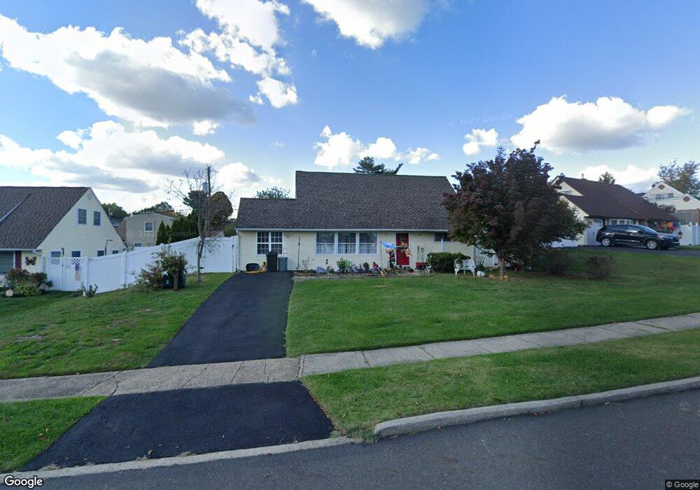
19 Umber Rd Levittown, PA 19056
Estimated Value: $376,000 - $409,000
3
Beds
2
Baths
1,550
Sq Ft
$255/Sq Ft
Est. Value
About This Home
This home is located at 19 Umber Rd, Levittown, PA 19056 and is currently estimated at $395,696, approximately $255 per square foot. 19 Umber Rd is a home located in Bucks County with nearby schools including Walter Miller Elementary School, Sandburg Middle School, and Neshaminy High School.
Ownership History
Date
Name
Owned For
Owner Type
Purchase Details
Closed on
Dec 6, 1999
Sold by
Ford Ann L and Ritchie Joseph
Bought by
Ford Ann L
Current Estimated Value
Purchase Details
Closed on
Jun 29, 1961
Bought by
Ritchie Frank and Ritchie Christian
Create a Home Valuation Report for This Property
The Home Valuation Report is an in-depth analysis detailing your home's value as well as a comparison with similar homes in the area
Home Values in the Area
Average Home Value in this Area
Purchase History
| Date | Buyer | Sale Price | Title Company |
|---|---|---|---|
| Ford Ann L | -- | -- | |
| Ritchie Frank | -- | -- |
Source: Public Records
Tax History Compared to Growth
Tax History
| Year | Tax Paid | Tax Assessment Tax Assessment Total Assessment is a certain percentage of the fair market value that is determined by local assessors to be the total taxable value of land and additions on the property. | Land | Improvement |
|---|---|---|---|---|
| 2025 | $4,006 | $18,400 | $3,920 | $14,480 |
| 2024 | $4,006 | $18,400 | $3,920 | $14,480 |
| 2023 | $3,942 | $18,400 | $3,920 | $14,480 |
| 2022 | $3,839 | $18,400 | $3,920 | $14,480 |
| 2021 | $3,839 | $18,400 | $3,920 | $14,480 |
| 2020 | $3,793 | $18,400 | $3,920 | $14,480 |
| 2019 | $3,708 | $18,400 | $3,920 | $14,480 |
| 2018 | $3,640 | $18,400 | $3,920 | $14,480 |
| 2017 | $3,547 | $18,400 | $3,920 | $14,480 |
| 2016 | $3,547 | $18,400 | $3,920 | $14,480 |
| 2015 | $3,736 | $18,400 | $3,920 | $14,480 |
| 2014 | $3,736 | $18,400 | $3,920 | $14,480 |
Source: Public Records
Map
Nearby Homes
- 154 Juniper Dr
- 94 Juniper Dr
- 0 Durham Rd
- 7 Canal Rd
- 212 Plumbridge Dr
- 2132 Durham Rd
- 33 Red Rose Way
- 62 Indian Creek Dr
- 35 Parkside Cir
- 28 Rust Hill Rd
- 14 Cleft Rock Rd
- 301 Snowball Dr
- 283 Snowball Dr
- L:070 Trenton Rd
- 38 Plumtree Rd
- 11 Dolphin Rd
- 50 Micahill Rd
- 65 Candle Rd
- 101 Idlewild Rd
- 23 Crystal Place