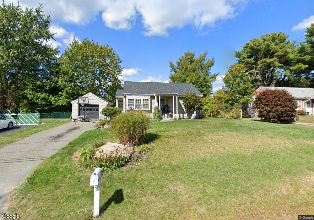
19 Union Ave Westport, MA 02790
North Westport NeighborhoodEstimated Value: $295,000 - $464,000
2
Beds
1
Bath
768
Sq Ft
$506/Sq Ft
Est. Value
About This Home
This home is located at 19 Union Ave, Westport, MA 02790 and is currently estimated at $388,573, approximately $505 per square foot. 19 Union Ave is a home located in Bristol County with nearby schools including Alice A. Macomber Primary School, Westport Elementary School, and Westport Middle-High School.
Ownership History
Date
Name
Owned For
Owner Type
Purchase Details
Closed on
Feb 27, 2019
Sold by
Tessier Leo R and Tessier Paulette
Bought by
Leo R Tessier Irt
Current Estimated Value
Purchase Details
Closed on
Oct 20, 2010
Sold by
Kelley Donna M
Bought by
Tessier Leo R and Tessier Paulette
Purchase Details
Closed on
Aug 29, 2005
Sold by
Sieminski Robert E
Bought by
Kelley Donna M and Gouveia Nelson
Home Financials for this Owner
Home Financials are based on the most recent Mortgage that was taken out on this home.
Original Mortgage
$47,400
Interest Rate
5.68%
Mortgage Type
Purchase Money Mortgage
Create a Home Valuation Report for This Property
The Home Valuation Report is an in-depth analysis detailing your home's value as well as a comparison with similar homes in the area
Home Values in the Area
Average Home Value in this Area
Purchase History
| Date | Buyer | Sale Price | Title Company |
|---|---|---|---|
| Leo R Tessier Irt | -- | -- | |
| Tessier Leo R | $111,500 | -- | |
| Kelley Donna M | -- | -- | |
| Kelley Donna M | $237,000 | -- |
Source: Public Records
Mortgage History
| Date | Status | Borrower | Loan Amount |
|---|---|---|---|
| Previous Owner | Kelley Donna M | $47,400 | |
| Previous Owner | Kelley Donna M | $48,000 | |
| Previous Owner | Kelley Donna M | $22,000 |
Source: Public Records
Tax History Compared to Growth
Tax History
| Year | Tax Paid | Tax Assessment Tax Assessment Total Assessment is a certain percentage of the fair market value that is determined by local assessors to be the total taxable value of land and additions on the property. | Land | Improvement |
|---|---|---|---|---|
| 2025 | $2,152 | $288,800 | $142,900 | $145,900 |
| 2024 | $2,137 | $276,500 | $132,400 | $144,100 |
| 2023 | $2,029 | $248,600 | $120,100 | $128,500 |
| 2022 | $1,903 | $224,400 | $114,100 | $110,300 |
| 2021 | $1,845 | $214,000 | $103,700 | $110,300 |
| 2020 | $1,725 | $204,600 | $94,300 | $110,300 |
| 2019 | $1,704 | $206,000 | $94,300 | $111,700 |
| 2018 | $1,537 | $188,100 | $104,600 | $83,500 |
| 2017 | $1,461 | $183,300 | $101,200 | $82,100 |
| 2016 | $1,394 | $176,200 | $97,900 | $78,300 |
| 2015 | $1,357 | $171,100 | $100,100 | $71,000 |
Source: Public Records
Map
Nearby Homes
- 29 Union Ave
- 96 Forge Rd
- 3 Roller Coaster Way Unit Lot 1
- 461 Reed Rd
- 27 Dias Ave
- 735 Reed Rd
- 56 Lakeside Ave
- 55 Lakeside Ave
- 16 S Berryman St
- 15 S Breault St
- 818 Reed Rd
- 565 Highland Ave
- 9 Kyle Jacob Rd
- 0 Van Buren St
- 4 Main Rd
- 116 Gifford Rd
- 320 Old Westport Rd
- 312 Old Westport Rd
- 310 Old Westport Rd
- 53 Morton Ave