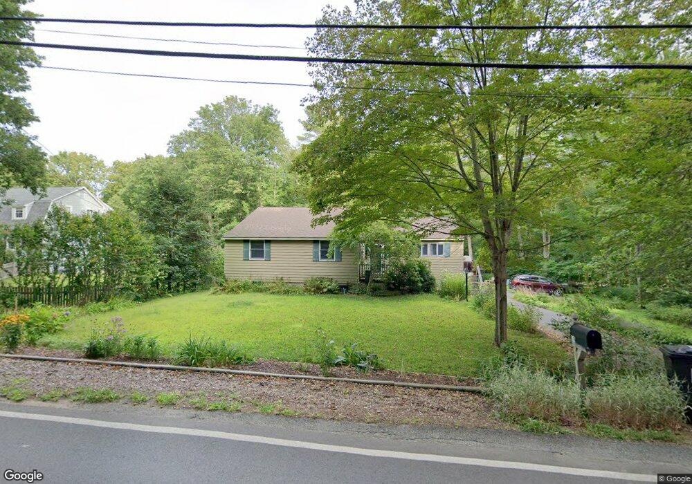
19 Union St Norfolk, MA 02056
Estimated Value: $547,220 - $678,000
3
Beds
1
Bath
1,412
Sq Ft
$447/Sq Ft
Est. Value
About This Home
This home is located at 19 Union St, Norfolk, MA 02056 and is currently estimated at $630,555, approximately $446 per square foot. 19 Union St is a home located in Norfolk County with nearby schools including H. Olive Day School, Freeman-Kennedy School, and Woodside Montessori Academy.
Ownership History
Date
Name
Owned For
Owner Type
Purchase Details
Closed on
Dec 1, 1993
Sold by
Herrington Vivian A
Bought by
Marra Thomas G and Marra Stephanie G
Current Estimated Value
Home Financials for this Owner
Home Financials are based on the most recent Mortgage that was taken out on this home.
Original Mortgage
$115,000
Interest Rate
6.69%
Mortgage Type
Purchase Money Mortgage
Create a Home Valuation Report for This Property
The Home Valuation Report is an in-depth analysis detailing your home's value as well as a comparison with similar homes in the area
Home Values in the Area
Average Home Value in this Area
Purchase History
| Date | Buyer | Sale Price | Title Company |
|---|---|---|---|
| Marra Thomas G | $130,000 | -- |
Source: Public Records
Mortgage History
| Date | Status | Borrower | Loan Amount |
|---|---|---|---|
| Open | Marra Thomas G | $170,000 | |
| Closed | Marra Thomas G | $50,000 | |
| Closed | Marra Thomas G | $150,000 | |
| Closed | Marra Thomas G | $115,000 |
Source: Public Records
Tax History Compared to Growth
Tax History
| Year | Tax Paid | Tax Assessment Tax Assessment Total Assessment is a certain percentage of the fair market value that is determined by local assessors to be the total taxable value of land and additions on the property. | Land | Improvement |
|---|---|---|---|---|
| 2025 | $7,027 | $440,000 | $186,000 | $254,000 |
| 2024 | $6,790 | $436,100 | $186,000 | $250,100 |
| 2023 | $6,377 | $388,600 | $186,000 | $202,600 |
| 2022 | $6,488 | $356,500 | $174,200 | $182,300 |
| 2021 | $6,455 | $358,800 | $169,200 | $189,600 |
| 2020 | $6,284 | $337,100 | $153,800 | $183,300 |
| 2019 | $5,871 | $321,000 | $153,800 | $167,200 |
| 2018 | $5,471 | $293,800 | $153,800 | $140,000 |
| 2017 | $5,393 | $296,000 | $153,800 | $142,200 |
| 2016 | $5,088 | $281,400 | $153,800 | $127,600 |
| 2015 | $4,809 | $272,300 | $146,400 | $125,900 |
| 2014 | $4,776 | $274,000 | $146,400 | $127,600 |
Source: Public Records
Map
Nearby Homes
- 118 Main St
- 8 Boyde's Crossing
- 8 Boyde's Crossing Unit 4
- 7 Malcolm St
- 25 Boydes Crossing Unit 18
- 7 Keeney Pond Rd
- 10 Medway St
- 16 Keeney Pond Rd
- 6 Trailside Way
- 18 Keeney Pond Rd
- 1 Old Mill Rd
- 118 Boardman St
- 3 Pheasanthill Rd
- 2 Diamond St
- 26 Ridge Rd
- 23 Fredrickson Rd
- 11 Quail Run Rd
- 292 Main St
- 38 Robin Rd
- 14 Robin Rd
- 15 Union St
- 20 Union St
- 18 North St
- 26 North St
- 26 Union St
- 23 Union St
- 34 North St
- 18 Union St Unit 3
- 18 Union St
- 18 Union St Unit 206
- 18 Union St Unit 205
- 18 Union St Unit 203
- 18 Union St Unit 302
- 18 Union St Unit 301
- 18 Union St Unit 204
- 18 Union St Unit 202
- 18 Union St Unit 201
- 30 Union St
- 40 North St
- 25 North St