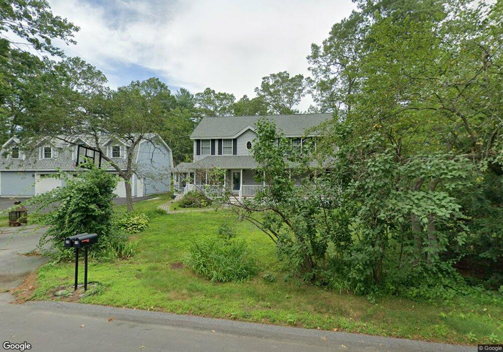
19 Wamesit Trail Littleton, MA 01460
Estimated Value: $746,727 - $913,000
3
Beds
3
Baths
1,932
Sq Ft
$423/Sq Ft
Est. Value
About This Home
This home is located at 19 Wamesit Trail, Littleton, MA 01460 and is currently estimated at $816,682, approximately $422 per square foot. 19 Wamesit Trail is a home located in Middlesex County with nearby schools including Shaker Lane Elementary School, Russell Street Elementary School, and Littleton Middle School.
Ownership History
Date
Name
Owned For
Owner Type
Purchase Details
Closed on
Aug 1, 1994
Sold by
Cox Barbara E
Bought by
Luttig Keith H and Luttig Robin B
Current Estimated Value
Home Financials for this Owner
Home Financials are based on the most recent Mortgage that was taken out on this home.
Original Mortgage
$110,000
Interest Rate
8.25%
Mortgage Type
Purchase Money Mortgage
Create a Home Valuation Report for This Property
The Home Valuation Report is an in-depth analysis detailing your home's value as well as a comparison with similar homes in the area
Home Values in the Area
Average Home Value in this Area
Purchase History
| Date | Buyer | Sale Price | Title Company |
|---|---|---|---|
| Luttig Keith H | $142,500 | -- |
Source: Public Records
Mortgage History
| Date | Status | Borrower | Loan Amount |
|---|---|---|---|
| Open | Luttig Keith H | $60,000 | |
| Closed | Luttig Keith H | $110,000 | |
| Previous Owner | Luttig Keith H | $30,000 | |
| Previous Owner | Luttig Keith H | $64,000 |
Source: Public Records
Tax History Compared to Growth
Tax History
| Year | Tax Paid | Tax Assessment Tax Assessment Total Assessment is a certain percentage of the fair market value that is determined by local assessors to be the total taxable value of land and additions on the property. | Land | Improvement |
|---|---|---|---|---|
| 2025 | $95 | $639,500 | $216,400 | $423,100 |
| 2024 | $9,563 | $644,400 | $216,400 | $428,000 |
| 2023 | $9,230 | $568,000 | $206,600 | $361,400 |
| 2022 | $8,832 | $498,700 | $206,600 | $292,100 |
| 2021 | $8,192 | $462,800 | $194,800 | $268,000 |
| 2020 | $7,833 | $440,800 | $171,300 | $269,500 |
| 2019 | $7,617 | $417,600 | $145,200 | $272,400 |
| 2018 | $7,568 | $417,200 | $149,000 | $268,200 |
| 2017 | $7,347 | $404,800 | $141,500 | $263,300 |
| 2016 | $7,133 | $403,200 | $141,500 | $261,700 |
| 2015 | $6,871 | $379,600 | $122,900 | $256,700 |
Source: Public Records
Map
Nearby Homes
- Lot 13 Monarch Path
- Lot 12 Monarch Path
- Lot 6 Noble Path
- Lot 7 Noble Path
- 28 W Prescott St
- 6 Coolidge St
- 12 Brookfield Dr Unit A
- 26 Bayberry Rd
- 9 Elm St
- 16 Abbot St
- 8 Sandy Beach Rd
- 797 Boston Rd
- 66 Patten Rd
- 36 Whitetail Way
- 95 Hummingbird Ln Unit 22
- 34 West St
- 33 West St
- 9 (Lt 44) Darrell Dr
- 66 N Main St Unit 66
- 64 N Main St Unit 64
- 18 Tadmuck Trail
- 20 Wamesit Trail
- 11 Wamesit Trail
- 14 Wamesit Trail
- 16 Tadmuck Trail
- 110 Matawanakee Trail
- 25 Wamesit Trail
- 24 Wamesit Trail
- 9 Sagamore Trail
- 15 Sagamore Trail
- 98 Matawanakee Trail
- 10 Wamesit Trail
- 5 Sagamore Trail
- 105 Matawanakee Trail
- 19 Sagamore Trail
- 109 Matawanakee Trail
- 96 Matawanakee Trail
- 55 Nashoba Trail
- 26 Wamesit Trail
- 11 Tadmuck Trail