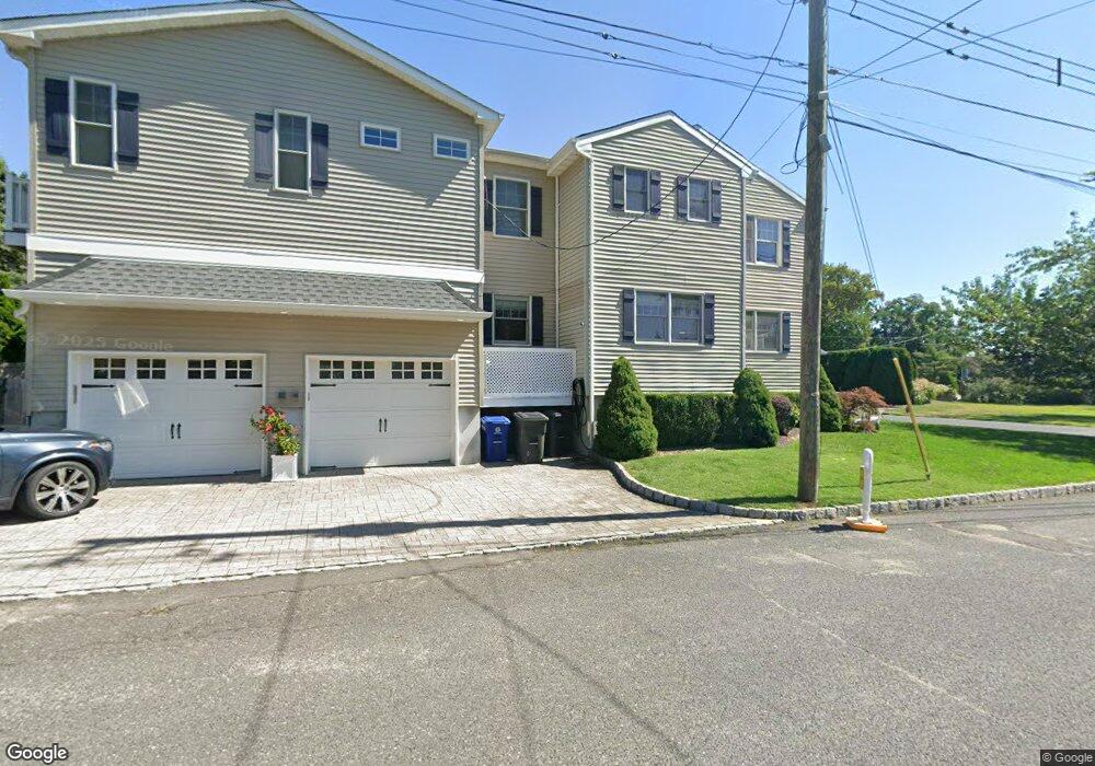
19 Werah Place Oceanport, NJ 07757
Estimated Value: $972,000 - $1,790,000
3
Beds
3
Baths
2,446
Sq Ft
$512/Sq Ft
Est. Value
About This Home
This home is located at 19 Werah Place, Oceanport, NJ 07757 and is currently estimated at $1,252,115, approximately $511 per square foot. 19 Werah Place is a home located in Monmouth County with nearby schools including Wolf Hill Elementary School, Maple Place Elementary and Middle School, and Shore Regional High School.
Ownership History
Date
Name
Owned For
Owner Type
Purchase Details
Closed on
Dec 14, 2007
Sold by
Sirianni Joseph Elmo
Bought by
Newland Robert and Newland Kimberley
Current Estimated Value
Home Financials for this Owner
Home Financials are based on the most recent Mortgage that was taken out on this home.
Original Mortgage
$389,500
Outstanding Balance
$246,537
Interest Rate
6.3%
Mortgage Type
Purchase Money Mortgage
Estimated Equity
$1,005,578
Create a Home Valuation Report for This Property
The Home Valuation Report is an in-depth analysis detailing your home's value as well as a comparison with similar homes in the area
Home Values in the Area
Average Home Value in this Area
Purchase History
| Date | Buyer | Sale Price | Title Company |
|---|---|---|---|
| Newland Robert | $410,000 | Fidelity Natl Title Ins Co |
Source: Public Records
Mortgage History
| Date | Status | Borrower | Loan Amount |
|---|---|---|---|
| Open | Newland Robert | $389,500 |
Source: Public Records
Tax History Compared to Growth
Tax History
| Year | Tax Paid | Tax Assessment Tax Assessment Total Assessment is a certain percentage of the fair market value that is determined by local assessors to be the total taxable value of land and additions on the property. | Land | Improvement |
|---|---|---|---|---|
| 2025 | $13,069 | $886,400 | $411,000 | $475,400 |
| 2024 | $10,989 | $827,700 | $373,000 | $454,700 |
| 2023 | $10,989 | $660,400 | $368,000 | $292,400 |
| 2022 | $10,152 | $575,500 | $318,000 | $257,500 |
| 2021 | $10,152 | $532,900 | $288,000 | $244,900 |
| 2020 | $9,480 | $518,600 | $271,000 | $247,600 |
| 2019 | $9,005 | $500,000 | $261,000 | $239,000 |
| 2018 | $8,893 | $497,100 | $261,000 | $236,100 |
| 2017 | $8,803 | $408,100 | $152,300 | $255,800 |
| 2016 | $8,791 | $410,200 | $159,300 | $250,900 |
| 2015 | $8,375 | $403,800 | $159,300 | $244,500 |
| 2014 | $7,898 | $386,200 | $169,300 | $216,900 |
Source: Public Records
Map
Nearby Homes
- 15 Signal Ave
- 13 Morris Place
- 66 Shrewsbury Ave
- 222 Coleman Ave
- 8 Pocahontas Ave
- 3 Foggia Way
- 10 Asbury Ave
- 28 Patten Ln
- 190 Spruce St Unit 4
- 238 Branchport Ave
- 572 Jay St
- 401 Joline Ave
- 565 Joline Ave
- 392 Florence Ave
- 580 Patten Ave Unit 48
- 580 Patten Ave Unit 62
- 580 Patten Ave Unit 86
- 580 Patten Ave Unit 31
- 211 Rockwell Ave
- 164 Airsdale Ave
- 21 Werah Place
- 23 Werah Place
- 6 Shrewsbury Ave
- 18 Comanche Dr
- 2 Shrewsbury Ave
- 22 Comanche Dr
- 16 Comanche Dr
- 20 Werah Place
- 27 Werah Place
- 24 Comanche Dr
- 14 Comanche Dr
- 24 Werah Place
- 31 Werah Place
- 32 Comanche Dr
- 18 Shrewsbury Ave
- 32 Werah Place
- 12 Comanche Dr
- 19 Comanche Dr
- 445 River St
- 26 Ausable Ave