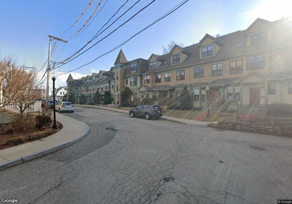
19 Weston Ave Unit C Somerville, MA 02144
Teele Square NeighborhoodEstimated Value: $1,040,901 - $1,274,000
2
Beds
2
Baths
1,402
Sq Ft
$813/Sq Ft
Est. Value
About This Home
This home is located at 19 Weston Ave Unit C, Somerville, MA 02144 and is currently estimated at $1,140,225, approximately $813 per square foot. 19 Weston Ave Unit C is a home located in Middlesex County with nearby schools including Somerville High School, International School of Boston, and Lesley Ellis School.
Ownership History
Date
Name
Owned For
Owner Type
Purchase Details
Closed on
Jun 16, 2020
Sold by
Makhoul John
Bought by
John I Makhoul T
Current Estimated Value
Purchase Details
Closed on
Nov 21, 2003
Sold by
Rombult Peter A
Bought by
Makhoul John
Home Financials for this Owner
Home Financials are based on the most recent Mortgage that was taken out on this home.
Original Mortgage
$320,000
Interest Rate
5.98%
Mortgage Type
Purchase Money Mortgage
Create a Home Valuation Report for This Property
The Home Valuation Report is an in-depth analysis detailing your home's value as well as a comparison with similar homes in the area
Home Values in the Area
Average Home Value in this Area
Purchase History
| Date | Buyer | Sale Price | Title Company |
|---|---|---|---|
| John I Makhoul T | -- | None Available | |
| John I Makhoul T I | -- | None Available | |
| Makhoul John | $525,000 | -- | |
| Makhoul John | $525,000 | -- |
Source: Public Records
Mortgage History
| Date | Status | Borrower | Loan Amount |
|---|---|---|---|
| Previous Owner | Makhoul John | $320,000 |
Source: Public Records
Tax History Compared to Growth
Tax History
| Year | Tax Paid | Tax Assessment Tax Assessment Total Assessment is a certain percentage of the fair market value that is determined by local assessors to be the total taxable value of land and additions on the property. | Land | Improvement |
|---|---|---|---|---|
| 2025 | $10,725 | $983,000 | $0 | $983,000 |
| 2024 | $9,796 | $931,200 | $0 | $931,200 |
| 2023 | $9,629 | $931,200 | $0 | $931,200 |
| 2022 | $9,559 | $939,000 | $0 | $939,000 |
| 2021 | $9,165 | $899,400 | $0 | $899,400 |
| 2020 | $8,602 | $852,500 | $0 | $852,500 |
| 2019 | $7,900 | $734,200 | $0 | $734,200 |
| 2018 | $7,799 | $689,600 | $0 | $689,600 |
| 2017 | $7,371 | $631,600 | $0 | $631,600 |
| 2016 | $7,713 | $615,600 | $0 | $615,600 |
| 2015 | $7,045 | $558,700 | $0 | $558,700 |
Source: Public Records
Map
Nearby Homes
- 69 Clarendon Ave Unit A
- 11 Watson St Unit 1
- 11 Watson St Unit 2
- 14 Moore St
- 57 Garrison Ave
- 34 Belknap St
- 39 Seven Pines Ave
- 61 Cameron Ave
- 67-69 Cameron Ave
- 55 Packard Ave Unit 1
- 53 Paulina St
- 233 Powder House Blvd
- 57 Packard Ave Unit B
- 122 Holland St Unit 4
- 97 Elmwood St Unit 313
- 97 Elmwood St Unit 310
- 7 Newman St
- 32 Cameron Ave
- 20 Electric Ave Unit 2
- 22 Ossipee Rd Unit 2
- 41 Weston Ave
- 35 Weston Ave
- 19 Weston Ave Unit B
- 19 Weston Ave Unit A
- 43 Weston Ave Unit C
- 43 Weston Ave Unit B
- 43 Weston Ave Unit A
- 31 Weston Ave Unit C
- 31 Weston Ave Unit B
- 31 Weston Ave Unit A
- 25 Weston Ave
- 23 Weston Ave
- 43 Weston Ave Unit 43B
- 31 Weston Ave Unit 31C
- 39 Weston Ave
- 37 Weston Ave
- 33 Weston Ave
- 29 Weston Ave
- 27 Weston Ave
- 37 Weston Ave Unit 35