19 Whitman Ct Warminster, PA 18974
Estimated Value: $1,329,380 - $1,535,000
5
Beds
4
Baths
4,642
Sq Ft
$304/Sq Ft
Est. Value
About This Home
This home is located at 19 Whitman Ct, Warminster, PA 18974 and is currently estimated at $1,413,345, approximately $304 per square foot. 19 Whitman Ct is a home with nearby schools including Maureen M. Welch Elementary School, Richboro Middle School, and Council Rock High School - South.
Ownership History
Date
Name
Owned For
Owner Type
Purchase Details
Closed on
Mar 28, 2014
Sold by
Judd Associates
Bought by
Mutarelli Jason A and Mutarelli Nicole L
Current Estimated Value
Home Financials for this Owner
Home Financials are based on the most recent Mortgage that was taken out on this home.
Original Mortgage
$228,500
Outstanding Balance
$153,033
Interest Rate
4.37%
Mortgage Type
Credit Line Revolving
Estimated Equity
$1,260,312
Create a Home Valuation Report for This Property
The Home Valuation Report is an in-depth analysis detailing your home's value as well as a comparison with similar homes in the area
Home Values in the Area
Average Home Value in this Area
Purchase History
| Date | Buyer | Sale Price | Title Company |
|---|---|---|---|
| Mutarelli Jason A | $806,993 | None Available |
Source: Public Records
Mortgage History
| Date | Status | Borrower | Loan Amount |
|---|---|---|---|
| Open | Mutarelli Jason A | $228,500 | |
| Open | Mutarelli Jason A | $417,000 |
Source: Public Records
Tax History Compared to Growth
Tax History
| Year | Tax Paid | Tax Assessment Tax Assessment Total Assessment is a certain percentage of the fair market value that is determined by local assessors to be the total taxable value of land and additions on the property. | Land | Improvement |
|---|---|---|---|---|
| 2025 | $17,096 | $88,760 | $10,650 | $78,110 |
| 2024 | $17,096 | $88,760 | $10,650 | $78,110 |
| 2023 | $16,112 | $88,760 | $10,650 | $78,110 |
| 2022 | $15,965 | $88,760 | $10,650 | $78,110 |
| 2021 | $15,460 | $88,760 | $10,650 | $78,110 |
| 2020 | $15,112 | $88,760 | $10,650 | $78,110 |
| 2019 | $14,465 | $88,760 | $10,650 | $78,110 |
| 2018 | $14,208 | $88,760 | $10,650 | $78,110 |
| 2017 | $13,660 | $88,760 | $10,650 | $78,110 |
| 2016 | $13,660 | $88,760 | $10,650 | $78,110 |
| 2015 | -- | $87,760 | $10,650 | $77,110 |
| 2014 | -- | $8,520 | $8,520 | $0 |
Source: Public Records
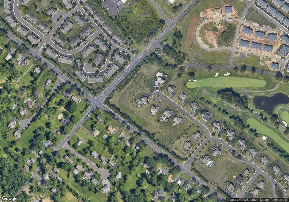
Map
Nearby Homes
- 56 Parry Way
- 55 Parry Way
- 59 Parry Way
- The Addis Plan at The Reserve at Spring Mill
- The Beckett Plan at The Reserve at Spring Mill
- 10 Spring Mill Dr
- 9 Spring Mill Dr
- 11 Spring Mill Dr
- 8 Lacey Ln
- 146 Grandview Dr
- 18 Lacey Ln
- 11 Lincoln Ave
- 109 Wilson Ave
- 1297 Twin Streams Dr
- 451 Twin Streams Dr
- 290 Hatboro Rd
- 667 Arbor Ln
- 675 Cheryl Dr
- 1240 June Rd
- 223 Cecelia Acres Dr
- 15 Whitman Ct
- 20 Whitman Ct
- 11 Whitman Ct
- 16 Whitman Ct
- 7 Whitman Ct
- 12 Whitman Ct
- 1311 Jacksonville Rd
- 18 E Bristol Rd
- 55 Griffith Miles Cir
- 51 Griffith Miles Cir
- 47 Griffith Miles Cir
- 10 Ashley Dr
- 59 Griffith Miles Cir
- 43 Griffith Miles Cir
- 000 W Bristol Rd
- 0000 W Bristol Rd
- 15XX W Bristol Rd
- 15CC W Bristol Rd
- 46 E Bristol Rd
- 63 Griffith Miles Cir