19 Wigwam Hill Dr Worcester, MA 01605
Estimated Value: $336,000 - $402,000
3
Beds
1
Bath
1,152
Sq Ft
$334/Sq Ft
Est. Value
About This Home
This home is located at 19 Wigwam Hill Dr, Worcester, MA 01605 and is currently estimated at $384,470, approximately $333 per square foot. 19 Wigwam Hill Dr is a home located in Worcester County with nearby schools including Jacob Hiatt Magnet School, Chandler Magnet, and Lake View Elementary School.
Ownership History
Date
Name
Owned For
Owner Type
Purchase Details
Closed on
Feb 4, 2000
Sold by
Usa Va
Bought by
Rodriguez Carlos R
Current Estimated Value
Purchase Details
Closed on
Jun 15, 1999
Sold by
Moreau Norman D
Bought by
Usa Va
Purchase Details
Closed on
Aug 7, 1990
Sold by
Mullaney Marguerite P
Bought by
Moreau Norman D
Purchase Details
Closed on
Mar 15, 1989
Sold by
Oconnor Alice G
Bought by
Mullaney Marguerite P
Create a Home Valuation Report for This Property
The Home Valuation Report is an in-depth analysis detailing your home's value as well as a comparison with similar homes in the area
Home Values in the Area
Average Home Value in this Area
Purchase History
| Date | Buyer | Sale Price | Title Company |
|---|---|---|---|
| Rodriguez Carlos R | $120,900 | -- | |
| Usa Va | $74,198 | -- | |
| Moreau Norman D | $117,500 | -- | |
| Mullaney Marguerite P | $100,000 | -- |
Source: Public Records
Mortgage History
| Date | Status | Borrower | Loan Amount |
|---|---|---|---|
| Open | Mullaney Marguerite P | $239,526 | |
| Closed | Mullaney Marguerite P | $10,889 |
Source: Public Records
Tax History Compared to Growth
Tax History
| Year | Tax Paid | Tax Assessment Tax Assessment Total Assessment is a certain percentage of the fair market value that is determined by local assessors to be the total taxable value of land and additions on the property. | Land | Improvement |
|---|---|---|---|---|
| 2025 | $4,424 | $335,400 | $124,300 | $211,100 |
| 2024 | $4,357 | $316,900 | $124,300 | $192,600 |
| 2023 | $4,177 | $291,300 | $107,000 | $184,300 |
| 2022 | $3,698 | $243,100 | $85,600 | $157,500 |
| 2021 | $3,531 | $216,900 | $68,500 | $148,400 |
| 2020 | $3,414 | $200,800 | $68,300 | $132,500 |
| 2019 | $3,303 | $183,500 | $66,100 | $117,400 |
| 2018 | $3,237 | $171,200 | $66,100 | $105,100 |
| 2017 | $3,290 | $171,200 | $66,100 | $105,100 |
| 2016 | $3,302 | $160,200 | $55,800 | $104,400 |
| 2015 | $3,215 | $160,200 | $55,800 | $104,400 |
| 2014 | $3,130 | $160,200 | $55,800 | $104,400 |
Source: Public Records
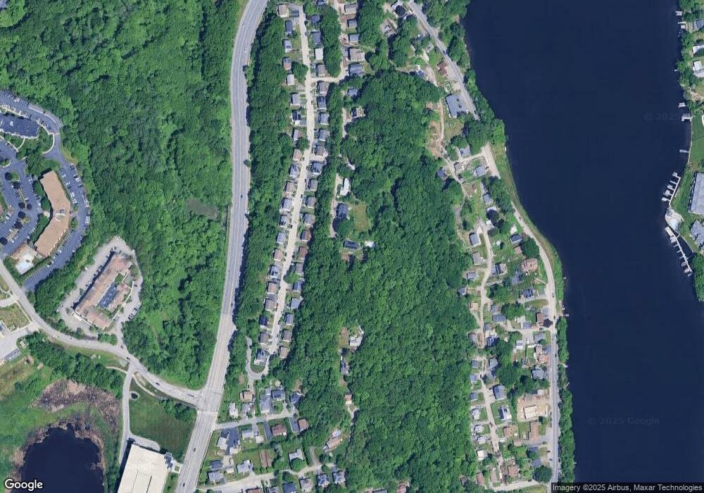
Map
Nearby Homes
- 64 Wauwinet Rd
- 5A Wigwam Hill Dr Unit A
- 163 N Lake Ave Unit A
- 163 N Lake Ave
- 190 Dominion Rd
- 46 Dominion Rd
- 19 Eaglehead Terrace Unit 2
- 19 Eaglehead Terrace Unit 4
- 15 Eaglehead Terrace Unit 5
- 5 Fyrbeck Ave
- 10 Crane Cir
- 67 N Quinsigamond Ave Unit 23
- 40 Phillips Ave
- 15 Eagle Dr
- 46 N Quinsigamond Ave
- 1 Temple Ct
- 7 Tern Dr
- 655 Plantation St Unit 17 Bldg B
- 65 Lake Ave Unit 831
- 65 Lake Ave Unit 1008
- 17 Wigwam Hill Dr
- 15 Wigwam Hill Dr
- 68 Wigwam Hill Dr
- 64 Wigwam Hill Dr
- 70 Wigwam Hill Dr
- 62 Wigwam Hill Dr Unit 1
- 13 Wigwam Hill Dr
- 60 Wigwam Hill Dr
- 76 Wigwam Hill Dr
- 58 Wigwam Hill Dr
- 56 Wigwam Hill Dr
- 80 Wigwam Hill Dr
- 54 Wigwam Hill Dr
- 462 Plantation St Unit 462
- 52 Wigwam Hill Dr
- 464 Plantation St
- 460 Plantation St Unit 460
- 466 Plantation St
- 466 Plantation St
- 466 Plantation St