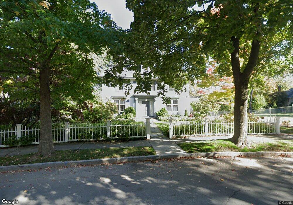
19 Willard Rd Brookline, MA 02445
Cleveland Circle NeighborhoodEstimated Value: $3,224,827 - $3,426,000
6
Beds
4
Baths
3,882
Sq Ft
$862/Sq Ft
Est. Value
About This Home
This home is located at 19 Willard Rd, Brookline, MA 02445 and is currently estimated at $3,345,707, approximately $861 per square foot. 19 Willard Rd is a home located in Norfolk County with nearby schools including John D. Runkle School, Brookline High School, and Torah Academy.
Ownership History
Date
Name
Owned For
Owner Type
Purchase Details
Closed on
Nov 16, 2020
Sold by
Ahmed A Razzaque
Bought by
Kiko R Adatto T
Current Estimated Value
Purchase Details
Closed on
Oct 5, 2017
Sold by
Adatto Kiku and Sandel Michael
Bought by
Kiku R Adatto T
Purchase Details
Closed on
Nov 1, 1988
Sold by
Adler Arnold H
Bought by
Adatto Kiku
Home Financials for this Owner
Home Financials are based on the most recent Mortgage that was taken out on this home.
Original Mortgage
$326,700
Interest Rate
10.32%
Mortgage Type
Purchase Money Mortgage
Create a Home Valuation Report for This Property
The Home Valuation Report is an in-depth analysis detailing your home's value as well as a comparison with similar homes in the area
Home Values in the Area
Average Home Value in this Area
Purchase History
| Date | Buyer | Sale Price | Title Company |
|---|---|---|---|
| Kiko R Adatto T | $13,500 | None Available | |
| Kiku R Adatto T | -- | -- | |
| Adatto Kiku | $575,500 | -- |
Source: Public Records
Mortgage History
| Date | Status | Borrower | Loan Amount |
|---|---|---|---|
| Previous Owner | Adatto Kiku | $291,600 | |
| Previous Owner | Adatto Kiku | $326,700 |
Source: Public Records
Tax History Compared to Growth
Tax History
| Year | Tax Paid | Tax Assessment Tax Assessment Total Assessment is a certain percentage of the fair market value that is determined by local assessors to be the total taxable value of land and additions on the property. | Land | Improvement |
|---|---|---|---|---|
| 2025 | $30,042 | $3,043,800 | $1,534,200 | $1,509,600 |
| 2024 | $28,655 | $2,933,000 | $1,475,100 | $1,457,900 |
| 2023 | $24,763 | $2,483,800 | $1,053,900 | $1,429,900 |
| 2022 | $24,104 | $2,365,500 | $1,003,700 | $1,361,800 |
| 2021 | $22,226 | $2,268,000 | $958,500 | $1,309,500 |
| 2020 | $20,445 | $2,163,500 | $871,300 | $1,292,200 |
| 2019 | $19,307 | $2,060,500 | $829,800 | $1,230,700 |
| 2018 | $19,443 | $2,055,300 | $838,600 | $1,216,700 |
| 2017 | $19,157 | $1,939,000 | $791,100 | $1,147,900 |
| 2016 | $18,883 | $1,812,200 | $739,400 | $1,072,800 |
| 2015 | $20,153 | $1,887,000 | $691,000 | $1,196,000 |
| 2014 | $20,913 | $1,836,100 | $628,200 | $1,207,900 |
Source: Public Records
Map
Nearby Homes
- 17 Strathmore Rd Unit 2
- 41 Orkney Rd
- 31 Orkney Rd Unit 54
- 3 Englewood Ave Unit 9
- 6 Sutherland Rd Unit 41
- 47 Englewood Ave
- 65 Strathmore Rd Unit 49
- 4 Chiswick Rd Unit 34
- 1778 Beacon St Unit 302
- 143 Beaconsfield Rd Unit 2
- 26 Chiswick Rd Unit 6
- 140 Kilsyth Rd Unit 8
- 24 Selkirk Rd Unit 24-4
- 120 Seaver St Unit C-102
- 120 Seaver St Unit A103
- 5 Braemore Rd Unit 10
- 94 Beaconsfield Rd Unit 201
- 114 Strathmore Rd Unit 102
- 30 Kinross Rd Unit 1
- 324 Tappan St Unit 1
- 25 Willard Rd
- 18 Willard Rd
- 163 Dean Rd
- 260 Fisher Ave
- 266 Fisher Ave
- 474 Chestnut Hill Ave
- 474 Chestnut Hill Ave Unit 2N
- 474 Chestnut Hill Ave Unit 3
- 462 Chestnut Hill Ave
- 462 Chestnut Hill Ave Unit 2
- 177 Dean Rd
- 2 Willard Rd
- 185 Dean Rd
- 244 Fisher Ave
- 330 Clinton Rd
- 234 Fisher Ave
- 153 Dean Rd
- 338 Clinton Rd
- 473 Chestnut Hill Ave Unit 3
- 184 Dean Rd