19 Wood Landing Rd Harpswell, ME 04079
Harpswell Neck NeighborhoodEstimated Value: $385,120 - $920,000
1
Bed
2
Baths
576
Sq Ft
$1,063/Sq Ft
Est. Value
About This Home
This home is located at 19 Wood Landing Rd, Harpswell, ME 04079 and is currently estimated at $612,280, approximately $1,062 per square foot. 19 Wood Landing Rd is a home with nearby schools including Mt Ararat High School.
Ownership History
Date
Name
Owned For
Owner Type
Purchase Details
Closed on
Jun 8, 2020
Sold by
Moseley Richard J and Moseley Anne P
Bought by
Reil Ashley and Reil Russell
Current Estimated Value
Home Financials for this Owner
Home Financials are based on the most recent Mortgage that was taken out on this home.
Original Mortgage
$233,100
Outstanding Balance
$207,011
Interest Rate
3.3%
Mortgage Type
New Conventional
Estimated Equity
$405,269
Create a Home Valuation Report for This Property
The Home Valuation Report is an in-depth analysis detailing your home's value as well as a comparison with similar homes in the area
Home Values in the Area
Average Home Value in this Area
Purchase History
| Date | Buyer | Sale Price | Title Company |
|---|---|---|---|
| Reil Ashley | -- | None Available |
Source: Public Records
Mortgage History
| Date | Status | Borrower | Loan Amount |
|---|---|---|---|
| Open | Reil Ashley | $233,100 |
Source: Public Records
Tax History Compared to Growth
Tax History
| Year | Tax Paid | Tax Assessment Tax Assessment Total Assessment is a certain percentage of the fair market value that is determined by local assessors to be the total taxable value of land and additions on the property. | Land | Improvement |
|---|---|---|---|---|
| 2024 | $1,971 | $309,900 | $265,200 | $44,700 |
| 2023 | $1,890 | $309,900 | $265,200 | $44,700 |
| 2022 | $1,828 | $309,900 | $265,200 | $44,700 |
| 2021 | $1,677 | $248,100 | $199,200 | $48,900 |
| 2020 | $1,923 | $285,300 | $236,400 | $48,900 |
| 2019 | $1,912 | $285,300 | $236,400 | $48,900 |
| 2018 | $1,849 | $285,300 | $236,400 | $48,900 |
| 2017 | $1,843 | $285,300 | $236,400 | $48,900 |
| 2016 | $1,826 | $285,300 | $236,400 | $48,900 |
| 2015 | $1,780 | $285,300 | $236,400 | $48,900 |
| 2013 | $1,649 | $285,300 | $236,400 | $48,900 |
Source: Public Records
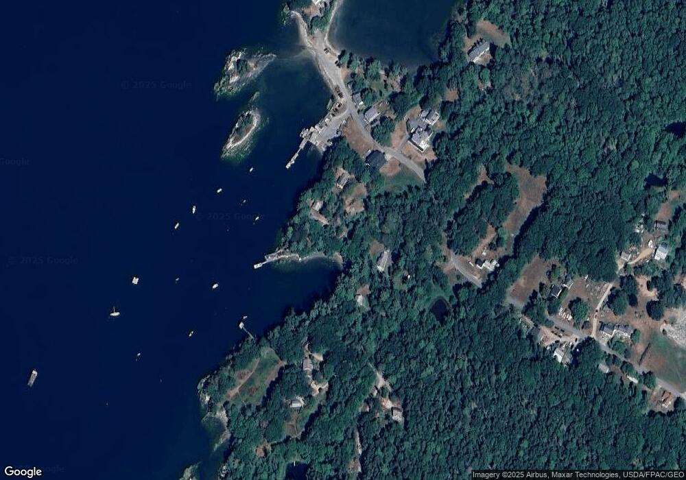
Map
Nearby Homes
- Lot 129 Harpswell Neck Rd
- Lot 2A Allen Point Rd
- Lot 2B Allen Point Rd
- 41 Spruce Brook Dr
- 1 Mallard Pond Rd
- 83 Central Ave
- 46 Blackstone Club Rd
- Map 80 Lot 18-0 White Island
- 0 Bayview Rd Unit 2 1632776
- 1450 Harpswell Neck Rd
- 853 Mere Point Rd
- 270 Harpswell Neck Rd
- 11 Orion Point Way
- 1689 Harpswell Islands Rd
- lot C Long Point Rd
- 87 Lowells Cove Rd
- 16 Ash Point Rd Unit 16
- 18 Ash Point Rd
- 0 Gundalo Gap Rd Unit 1638108
- 10 Irene Ave
- 22 Wood Landing Rd
- 20 Wood Landing Rd
- 12 Pierce Point Rd
- 12 Wood Landing Rd
- 18 Pierce Point Rd
- 00 Pierce Point Rd
- 107 Lookout Point Rd
- 30 Pierce Point Rd
- 116 Lookout Point Rd
- 0 Beverly Bluff
- 118 Lookout Point Rd
- 86 Lookout Point Rd
- 120 Lookout Point Rd
- 108 Lookout Point Rd
- 122 Lookout Point Rd
- 23 Pierce Point Rd
- 74 Lookout Point Rd
- 104 Lookout Point Rd
- 126 Lookout Point Rd
- 0 Pierce Point Rd Unit 307009