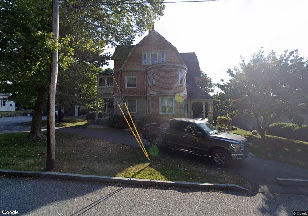
19 Wright Ave Unit 2 Wakefield, RI 02879
Estimated Value: $676,000 - $1,110,427
3
Beds
2
Baths
2,000
Sq Ft
$463/Sq Ft
Est. Value
About This Home
This home is located at 19 Wright Ave Unit 2, Wakefield, RI 02879 and is currently estimated at $926,857, approximately $463 per square foot. 19 Wright Ave Unit 2 is a home located in Washington County with nearby schools including South Kingstown High School, Monsignor Matthew Clarke Catholic Regional School, and South Shore School.
Ownership History
Date
Name
Owned For
Owner Type
Purchase Details
Closed on
Dec 1, 1997
Sold by
C & J Associates
Bought by
M & S Property Mgmt
Current Estimated Value
Home Financials for this Owner
Home Financials are based on the most recent Mortgage that was taken out on this home.
Original Mortgage
$168,000
Outstanding Balance
$26,542
Interest Rate
7.26%
Estimated Equity
$900,315
Create a Home Valuation Report for This Property
The Home Valuation Report is an in-depth analysis detailing your home's value as well as a comparison with similar homes in the area
Home Values in the Area
Average Home Value in this Area
Purchase History
| Date | Buyer | Sale Price | Title Company |
|---|---|---|---|
| M & S Property Mgmt | $210,000 | -- |
Source: Public Records
Mortgage History
| Date | Status | Borrower | Loan Amount |
|---|---|---|---|
| Open | M & S Property Mgmt | $168,000 |
Source: Public Records
Tax History Compared to Growth
Tax History
| Year | Tax Paid | Tax Assessment Tax Assessment Total Assessment is a certain percentage of the fair market value that is determined by local assessors to be the total taxable value of land and additions on the property. | Land | Improvement |
|---|---|---|---|---|
| 2025 | $6,794 | $760,000 | $233,600 | $526,400 |
| 2024 | $8,028 | $726,500 | $172,900 | $553,600 |
| 2023 | $8,028 | $726,500 | $172,900 | $553,600 |
| 2022 | $7,955 | $726,500 | $172,900 | $553,600 |
| 2021 | $7,953 | $550,400 | $133,200 | $417,200 |
| 2020 | $7,953 | $550,400 | $133,200 | $417,200 |
| 2019 | $7,953 | $550,400 | $133,200 | $417,200 |
| 2018 | $7,142 | $455,500 | $127,400 | $328,100 |
| 2017 | $6,974 | $455,500 | $127,400 | $328,100 |
| 2016 | $6,873 | $455,500 | $127,400 | $328,100 |
| 2015 | $7,138 | $459,900 | $115,600 | $344,300 |
| 2014 | $7,119 | $459,900 | $115,600 | $344,300 |
Source: Public Records
Map
Nearby Homes
- 35 Whittier Dr
- 37 Whittier Dr
- 23 Rockland Dr
- 37 Columbia St
- 39 Hazard Ave
- 45 Cherry Ln Unit C
- 100 Spartina Cove Way
- 48 Stone Bridge Dr
- 47 Tuckertown Rd
- 128 Rodman St
- 301 Church St Unit 306
- 39 Secluded Dr
- 3 Larkin St
- 170 Weathervane Rd
- 260 Sweet Allen Farm Rd Unit 3
- 22 Beech Tree Place
- 53 Rocky Brook Way
- 534 Curtis Corner Rd
- 507 Curtis Corner Rd
- 58 Vespia Ln
- 19 Wright Ave
- 491 Main St
- 25 Wright Ave
- 103 Birdie Ct Unit 103
- 101 Birdie Ct Unit 101
- 100 Birdie Ct Unit 100
- 102 Birdie Ct Unit 102
- 473 Main St Unit 473 Main
- 33 Wright Ave
- 471 Main St
- 12 High St
- 43 Wright Ave
- 476 Main St
- 521 Main St
- 484 Main St
- 500 Main St
- 480 Main St
- 457 Main St
- 466 Main St
- 51 Wright Ave