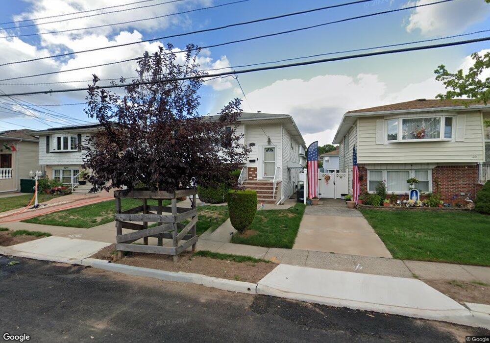
19 Xenia St Staten Island, NY 10305
Dongan Hills NeighborhoodEstimated Value: $735,339 - $972,000
--
Bed
4
Baths
1,873
Sq Ft
$454/Sq Ft
Est. Value
About This Home
This home is located at 19 Xenia St, Staten Island, NY 10305 and is currently estimated at $851,085, approximately $454 per square foot. 19 Xenia St is a home located in Richmond County with nearby schools including P.S. 052 John C. Thompson, Is 2 George L Egbert, and New Dorp High School.
Ownership History
Date
Name
Owned For
Owner Type
Purchase Details
Closed on
Oct 27, 2004
Sold by
Murphy Justine V
Bought by
Simmons William and Riggs Kathleen
Current Estimated Value
Home Financials for this Owner
Home Financials are based on the most recent Mortgage that was taken out on this home.
Original Mortgage
$76,800
Interest Rate
5.67%
Mortgage Type
Credit Line Revolving
Create a Home Valuation Report for This Property
The Home Valuation Report is an in-depth analysis detailing your home's value as well as a comparison with similar homes in the area
Home Values in the Area
Average Home Value in this Area
Purchase History
| Date | Buyer | Sale Price | Title Company |
|---|---|---|---|
| Simmons William | $387,000 | Titlevest Agency |
Source: Public Records
Mortgage History
| Date | Status | Borrower | Loan Amount |
|---|---|---|---|
| Previous Owner | Simmons William | $76,800 | |
| Closed | Simmons William | $307,200 |
Source: Public Records
Tax History Compared to Growth
Tax History
| Year | Tax Paid | Tax Assessment Tax Assessment Total Assessment is a certain percentage of the fair market value that is determined by local assessors to be the total taxable value of land and additions on the property. | Land | Improvement |
|---|---|---|---|---|
| 2025 | $6,108 | $48,240 | $5,069 | $43,171 |
| 2024 | $6,108 | $39,420 | $6,203 | $33,217 |
| 2023 | $6,130 | $30,184 | $5,495 | $24,689 |
| 2022 | $5,685 | $44,580 | $8,040 | $36,540 |
| 2021 | $5,654 | $46,980 | $8,040 | $38,940 |
| 2020 | $5,365 | $41,340 | $8,040 | $33,300 |
| 2019 | $5,302 | $35,940 | $8,040 | $27,900 |
| 2018 | $4,830 | $25,153 | $6,196 | $18,957 |
| 2017 | $4,538 | $23,730 | $6,723 | $17,007 |
| 2016 | $4,165 | $22,387 | $6,536 | $15,851 |
| 2015 | $3,748 | $21,120 | $6,720 | $14,400 |
| 2014 | $3,748 | $21,120 | $6,720 | $14,400 |
Source: Public Records
Map
Nearby Homes
- 125 Laconia Ave
- 206 Benton Ave
- 275 Hurlbert St
- 12 Mcdermott Ave
- 139 Hurlbert St
- 381 Burgher Ave
- 71 Cameron Ave
- 57 Jerome Rd
- 141 Evergreen Ave Unit 2a
- 74 Appleby Ave
- 115 W Broadway Unit 4
- 44 Quintard St
- 12 Reid Ave
- 220 Norway Ave
- 4 Mccormick Place
- 200 Mallory Ave
- 286 Raritan Ave
- 236 Mallory Ave
- 418 Alter Ave
- 416 Alter Ave