Estimated Value: $748,000 - $1,343,000
2
Beds
1
Bath
840
Sq Ft
$1,128/Sq Ft
Est. Value
About This Home
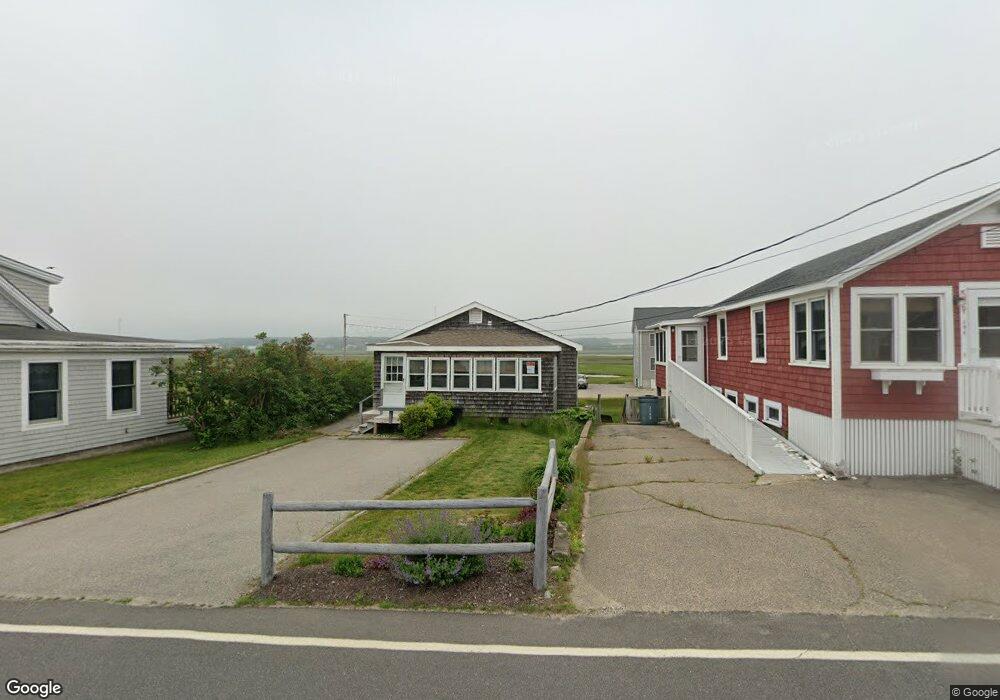
This home is located at 190 Atlantic Ave, Wells, ME 04090 and is currently estimated at $947,503, approximately $1,127 per square foot. 190 Atlantic Ave is a home located in York County with nearby schools including Wells Junior High School, Wells Elementary School, and Wells High School.
Ownership History
Date
Name
Owned For
Owner Type
Purchase Details
Closed on
Sep 9, 2009
Sold by
Shattuck Martha E Est and Shattuck
Bought by
Duley Susan E and Duley George E
Current Estimated Value
Home Financials for this Owner
Home Financials are based on the most recent Mortgage that was taken out on this home.
Original Mortgage
$302,400
Outstanding Balance
$199,469
Interest Rate
5.36%
Mortgage Type
Purchase Money Mortgage
Estimated Equity
$748,034
Create a Home Valuation Report for This Property
The Home Valuation Report is an in-depth analysis detailing your home's value as well as a comparison with similar homes in the area
Home Values in the Area
Average Home Value in this Area
Purchase History
| Date | Buyer | Sale Price | Title Company |
|---|---|---|---|
| Duley Susan E | -- | -- |
Source: Public Records
Mortgage History
| Date | Status | Borrower | Loan Amount |
|---|---|---|---|
| Open | Duley Susan E | $302,400 | |
| Closed | Duley Susan E | $302,400 |
Source: Public Records
Tax History Compared to Growth
Tax History
| Year | Tax Paid | Tax Assessment Tax Assessment Total Assessment is a certain percentage of the fair market value that is determined by local assessors to be the total taxable value of land and additions on the property. | Land | Improvement |
|---|---|---|---|---|
| 2024 | $4,552 | $748,700 | $589,760 | $158,940 |
| 2023 | $4,462 | $748,700 | $589,760 | $158,940 |
| 2022 | $4,541 | $434,170 | $345,820 | $88,350 |
| 2021 | $4,552 | $432,690 | $345,820 | $86,870 |
| 2020 | $4,474 | $426,900 | $345,820 | $81,080 |
| 2019 | $4,081 | $391,660 | $345,820 | $45,840 |
| 2018 | $4,042 | $391,660 | $345,820 | $45,840 |
| 2017 | $3,979 | $391,660 | $345,820 | $45,840 |
| 2016 | $3,940 | $391,660 | $345,820 | $45,840 |
| 2015 | $3,897 | $391,660 | $345,820 | $45,840 |
| 2013 | $3,572 | $391,660 | $345,820 | $45,840 |
Source: Public Records
Map
Nearby Homes
- 229 Atlantic Ave
- 61 Atlantic Ave Unit 3
- 58 Atlantic Ave Unit 12B
- 9 Robert Ln
- 46 Ox Cart Ln
- 42 Rachel Carson Ln
- 446 Atlantic Ave
- 500 Atlantic Ave Unit 2
- 4 Tidal Ct
- 60 Merrifield Ct
- 1351 Post Rd Unit 49
- 99 Harbor Rd Unit Lot 52
- 99 Harbor Rd Unit Lot 54
- 105 Harbor Rd
- 1373 Post Rd Unit 10A
- 1373 Post Rd Unit 4E
- 1373 Post Rd Unit 2C
- 1373 Post Rd Unit 6B
- 1373 Post Rd Unit 1F
- 1072 Post Rd Unit 131
- 194 Atlantic Ave
- 186 Atlantic Ave
- 00 Route 2 Silver Ridge
- 0 Molunkus Lake Unit 903884
- 1530 Fifteen - Thirty Road T1 R5 We
- 1 Fraser Camp Rd
- 200 Atlantic Ave
- 202 Atlantic Ave
- 189 Atlantic Ave
- 193 Atlantic Ave
- 187 Atlantic Ave
- 195 Atlantic Ave
- 197 Atlantic Ave
- 183 Atlantic Ave
- 8 Fifth Ave
- 0 Fifth Ave Unit 898514
- 0 Square Lake Rd Unit 1029923
- 161 Abraham Point
- 114 Abraham Point Rd
- 161 Burnt Landing Rd