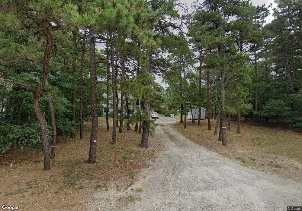
190 Aunt Helens Way Eastham, MA 02642
Estimated Value: $830,000 - $887,511
4
Beds
3
Baths
2,201
Sq Ft
$393/Sq Ft
Est. Value
About This Home
This home is located at 190 Aunt Helens Way, Eastham, MA 02642 and is currently estimated at $864,128, approximately $392 per square foot. 190 Aunt Helens Way is a home located in Barnstable County with nearby schools including Eastham Elementary School, Nauset Regional Middle School, and Nauset Regional High School.
Ownership History
Date
Name
Owned For
Owner Type
Purchase Details
Closed on
Mar 6, 2023
Sold by
Presutti Lucia M
Bought by
Presutti Cristopher M and Presutti Maribeth
Current Estimated Value
Purchase Details
Closed on
Mar 4, 2020
Sold by
Presutti Lucia M
Bought by
Presutti Cristopher M and Presutti Lucia M
Home Financials for this Owner
Home Financials are based on the most recent Mortgage that was taken out on this home.
Original Mortgage
$348,750
Interest Rate
3.4%
Mortgage Type
New Conventional
Purchase Details
Closed on
Jun 14, 1993
Sold by
Citicorp Mtg Inc
Bought by
Presutti Robert and Presutti Lucia
Home Financials for this Owner
Home Financials are based on the most recent Mortgage that was taken out on this home.
Original Mortgage
$133,200
Interest Rate
7.41%
Mortgage Type
Purchase Money Mortgage
Create a Home Valuation Report for This Property
The Home Valuation Report is an in-depth analysis detailing your home's value as well as a comparison with similar homes in the area
Home Values in the Area
Average Home Value in this Area
Purchase History
| Date | Buyer | Sale Price | Title Company |
|---|---|---|---|
| Presutti Cristopher M | -- | None Available | |
| Presutti Cristopher M | -- | None Available | |
| Presutti Robert | $148,000 | -- |
Source: Public Records
Mortgage History
| Date | Status | Borrower | Loan Amount |
|---|---|---|---|
| Previous Owner | Presutti Cristopher M | $348,750 | |
| Previous Owner | Presutti Robert | $133,200 |
Source: Public Records
Tax History Compared to Growth
Tax History
| Year | Tax Paid | Tax Assessment Tax Assessment Total Assessment is a certain percentage of the fair market value that is determined by local assessors to be the total taxable value of land and additions on the property. | Land | Improvement |
|---|---|---|---|---|
| 2025 | $5,649 | $732,700 | $279,700 | $453,000 |
| 2024 | $5,032 | $717,800 | $271,500 | $446,300 |
| 2023 | $4,684 | $646,900 | $251,400 | $395,500 |
| 2022 | $4,416 | $514,700 | $224,500 | $290,200 |
| 2021 | $4,332 | $471,900 | $204,000 | $267,900 |
| 2020 | $4,036 | $462,900 | $208,300 | $254,600 |
| 2019 | $3,736 | $452,900 | $202,200 | $250,700 |
| 2018 | $3,702 | $443,300 | $196,300 | $247,000 |
| 2017 | $3,433 | $434,600 | $192,500 | $242,100 |
| 2016 | $3,289 | $442,100 | $192,500 | $249,600 |
| 2015 | $3,003 | $423,000 | $188,700 | $234,300 |
Source: Public Records
Map
Nearby Homes
- 510 Hay Rd
- 180 Country Ln
- 125 Gingerplum Ln
- 70 Lombard Ln
- 1875 State Hwy
- 55 Lucinda Ct
- 1975 State Hwy Unit 3
- 1975 State Hwy Unit 1
- 10 Appleseed Rd
- 40 Northwest St
- 40 NW 35 and 45 Se St St
- 1435 State Hwy
- 55 Heritage Hill Cir
- 993 Intonti Way
- 995 Intonti Way
- 60 Smith Heights Way
- 25 Cranberry Rd
- 758 State Hwy
- 10 Cartway N
- 80 Log Cabin Rd
- 190 Aunt Helen's Way
- 20 Hatties Way
- 200 Aunt Helens Way
- 715 Hay Rd
- 30 Hatties Way
- 695 Hay Rd
- 729 Hay Rd
- 225 Aunt Helens Way
- 185 Aunt Helens Way
- 15 Hatties Way
- 235 Aunt Helens Way
- 755 Hay Rd
- 25 Hatties Way
- 155 Aunt Helens Way
- 655 Hay Rd
- 710 Hay Rd
- 690 Hay Rd
- 225 Deacon Paine Rd
- 390 State Hwy Unit 1
- 390 State Hwy