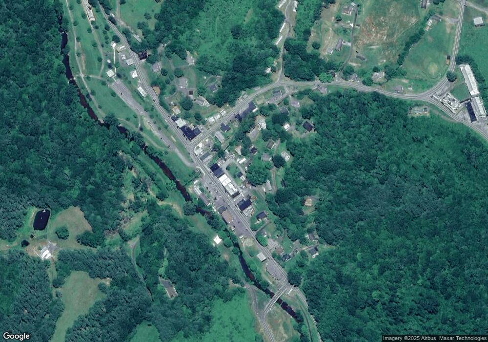
190 B St Lansing, NC 28643
Estimated Value: $175,000 - $226,000
Studio
--
Bath
1,518
Sq Ft
$131/Sq Ft
Est. Value
About This Home
This home is located at 190 B St, Lansing, NC 28643 and is currently estimated at $199,059, approximately $131 per square foot. 190 B St is a home with nearby schools including Ashe County High School.
Ownership History
Date
Name
Owned For
Owner Type
Purchase Details
Closed on
Jul 1, 2021
Sold by
Weaver Collin and Weaver Santana
Bought by
Trivett Victoria and Tavares Ringo
Current Estimated Value
Home Financials for this Owner
Home Financials are based on the most recent Mortgage that was taken out on this home.
Original Mortgage
$116,161
Outstanding Balance
$105,398
Interest Rate
2.9%
Mortgage Type
New Conventional
Estimated Equity
$93,661
Purchase Details
Closed on
Jul 10, 2015
Sold by
Kilby John T
Bought by
Weaver Collin and Trainor Santana
Home Financials for this Owner
Home Financials are based on the most recent Mortgage that was taken out on this home.
Original Mortgage
$32,050
Interest Rate
4.25%
Mortgage Type
Adjustable Rate Mortgage/ARM
Purchase Details
Closed on
Mar 9, 2010
Sold by
Baiko Pearl and Billing Samuel
Bought by
Malafronti Michel and Malafronti Angela
Home Financials for this Owner
Home Financials are based on the most recent Mortgage that was taken out on this home.
Original Mortgage
$79,000
Interest Rate
4.97%
Mortgage Type
Seller Take Back
Create a Home Valuation Report for This Property
The Home Valuation Report is an in-depth analysis detailing your home's value as well as a comparison with similar homes in the area
Home Values in the Area
Average Home Value in this Area
Purchase History
| Date | Buyer | Sale Price | Title Company |
|---|---|---|---|
| Trivett Victoria | $115,000 | None Available | |
| Weaver Collin | $30,098 | None Available | |
| Malafronti Michel | $79,000 | -- |
Source: Public Records
Mortgage History
| Date | Status | Borrower | Loan Amount |
|---|---|---|---|
| Open | Trivett Victoria | $116,161 | |
| Previous Owner | Weaver Collin | $32,050 | |
| Previous Owner | Malafronti Michel | $79,000 |
Source: Public Records
Tax History Compared to Growth
Tax History
| Year | Tax Paid | Tax Assessment Tax Assessment Total Assessment is a certain percentage of the fair market value that is determined by local assessors to be the total taxable value of land and additions on the property. | Land | Improvement |
|---|---|---|---|---|
| 2025 | $1,443 | $180,400 | $2,700 | $177,700 |
| 2024 | $1,443 | $180,400 | $2,700 | $177,700 |
| 2023 | $1,443 | $180,400 | $2,700 | $177,700 |
| 2022 | $1,056 | $94,400 | $8,000 | $86,400 |
| 2021 | $1,022 | $95,800 | $8,000 | $87,800 |
| 2020 | $958 | $95,800 | $8,000 | $87,800 |
| 2019 | $946 | $95,800 | $8,000 | $87,800 |
| 2018 | $465 | $77,800 | $8,000 | $69,800 |
| 2016 | $467 | $77,800 | $8,000 | $69,800 |
| 2015 | $524 | $77,800 | $8,000 | $69,800 |
| 2014 | $524 | $98,600 | $8,000 | $90,600 |
Source: Public Records
Map
Nearby Homes
- 18103 N Carolina 194
- tbd E Little Horse Creek Rd
- TBD Charlie King Rd
- 9.5 +/- Acres Charlie King Rd
- TBD Long Branch Rd
- 262 River Landing Way
- TBD Mcneil Rd
- 972 W Deep Ford Rd
- 253 Bobby Rash Rd
- 2507 Parker Eller Rd
- TBD W Deep Ford Rd
- 410 River Dr
- TBD E Little Creek Horse Rd
- 234 Pioneer Trails Rd SE
- 979 Wagon Rd
- 979 Wagon Rd Unit 6-8
- TBD N Carolina 194
- 1369 Anderson Hill Rd
- TBD Sawyers Rd
- 325 Sawyers Rd
