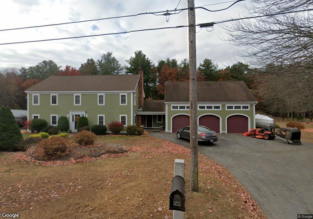
190 Brandy Brow Rd Haverhill, MA 01830
East Parish NeighborhoodEstimated Value: $630,000 - $945,000
5
Beds
4
Baths
3,638
Sq Ft
$221/Sq Ft
Est. Value
About This Home
This home is located at 190 Brandy Brow Rd, Haverhill, MA 01830 and is currently estimated at $802,208, approximately $220 per square foot. 190 Brandy Brow Rd is a home located in Essex County with nearby schools including Pentucket Lake Elementary School, John G. Whittier Middle School, and Haverhill High School.
Ownership History
Date
Name
Owned For
Owner Type
Purchase Details
Closed on
Jul 11, 2024
Sold by
Roche Ellen and Roche John M
Bought by
Roche
Current Estimated Value
Purchase Details
Closed on
Feb 2, 1993
Sold by
Williamson Roy J and Williamson Linda M
Bought by
Roche John M
Purchase Details
Closed on
May 19, 1987
Sold by
Adams Marion E
Bought by
Williamson Roy J
Create a Home Valuation Report for This Property
The Home Valuation Report is an in-depth analysis detailing your home's value as well as a comparison with similar homes in the area
Home Values in the Area
Average Home Value in this Area
Purchase History
| Date | Buyer | Sale Price | Title Company |
|---|---|---|---|
| Roche | -- | None Available | |
| Roche | -- | None Available | |
| Roche | -- | None Available | |
| Roche John M | $80,000 | -- | |
| Roche John M | $80,000 | -- | |
| Williamson Roy J | $55,000 | -- |
Source: Public Records
Mortgage History
| Date | Status | Borrower | Loan Amount |
|---|---|---|---|
| Previous Owner | Williamson Roy J | $352,000 | |
| Previous Owner | Williamson Roy J | $100,000 |
Source: Public Records
Tax History
| Year | Tax Paid | Tax Assessment Tax Assessment Total Assessment is a certain percentage of the fair market value that is determined by local assessors to be the total taxable value of land and additions on the property. | Land | Improvement |
|---|---|---|---|---|
| 2025 | $8,065 | $753,000 | $241,000 | $512,000 |
| 2024 | $7,491 | $704,000 | $238,800 | $465,200 |
| 2023 | $7,059 | $633,100 | $206,200 | $426,900 |
| 2022 | $6,754 | $531,000 | $195,300 | $335,700 |
| 2021 | $6,502 | $483,800 | $173,500 | $310,300 |
| 2020 | $6,475 | $476,100 | $173,500 | $302,600 |
| 2019 | $6,337 | $454,300 | $151,700 | $302,600 |
| 2018 | $6,102 | $427,900 | $143,000 | $284,900 |
| 2017 | $6,050 | $403,600 | $138,600 | $265,000 |
| 2016 | $5,242 | $341,300 | $108,100 | $233,200 |
| 2015 | $5,239 | $341,300 | $108,100 | $233,200 |
Source: Public Records
Map
Nearby Homes
- 374 Brandy Brow Rd
- 90 Amesbury Rd
- 22 Woodland St
- 25 River Rd
- 790 E Broadway
- 135 Forrest St Unit 15
- 37 School St
- Lot 8 Lukes Way Unit Lot 8
- 5 Wentworth Dr
- 12 Hemlock Dr
- 22 Tanglewood Park Dr
- 19 Partridge Ln
- 39 High St
- 46 Gile St
- 34-A Smith Corner Rd
- 5 Dole Place
- 15 River Meadow Dr
- 27 Rivercrest Dr
- 2 North St
- 4 Smith Corner Rd
- 206 Brandy Brow Rd
- 178 Brandy Brow Rd
- 193 Brandy Brow Rd
- 199 Brandy Brow Rd
- 179 Brandy Brow Rd
- 207 Brandy Brow Rd
- 170 Brandy Brow Rd
- 217 Brandy Brow Rd
- 240 Brandy Brow Rd
- 159 Brandy Brow Rd
- 227 Brandy Brow Rd
- 244 Brandy Brow Rd
- 38 Heath Rd
- 243 Brandy Brow Rd
- 147 Brandy Brow Rd
- 248 Brandy Brow Rd
- 253 Brandy Brow Rd
- 154 Homestead St
- 254 Brandy Brow Rd
- 36 Heath Rd
Your Personal Tour Guide
Ask me questions while you tour the home.