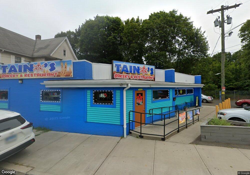
190 Camp St Meriden, CT 06450
--
Bed
--
Bath
2,797
Sq Ft
2,614
Sq Ft Lot
About This Home
This home is located at 190 Camp St, Meriden, CT 06450. 190 Camp St is a home located in New Haven County with nearby schools including Roger Sherman Elementary School, Washington Middle School, and Francis T. Maloney High School.
Ownership History
Date
Name
Owned For
Owner Type
Purchase Details
Closed on
Jan 16, 2024
Sold by
190 Camp St Meriden Llc
Bought by
Camp Street Prop Llc
Home Financials for this Owner
Home Financials are based on the most recent Mortgage that was taken out on this home.
Original Mortgage
$290,000
Outstanding Balance
$284,656
Interest Rate
6.95%
Mortgage Type
Commercial
Purchase Details
Closed on
Dec 23, 2013
Sold by
Dime Bank
Bought by
190 Camp St Meriden Ll
Create a Home Valuation Report for This Property
The Home Valuation Report is an in-depth analysis detailing your home's value as well as a comparison with similar homes in the area
Home Values in the Area
Average Home Value in this Area
Purchase History
| Date | Buyer | Sale Price | Title Company |
|---|---|---|---|
| Camp Street Prop Llc | $300,000 | None Available | |
| Camp Street Prop Llc | $300,000 | None Available | |
| 190 Camp St Meriden Ll | -- | -- | |
| 190 Camp St Meriden Ll | -- | -- |
Source: Public Records
Mortgage History
| Date | Status | Borrower | Loan Amount |
|---|---|---|---|
| Open | Camp Street Prop Llc | $290,000 | |
| Closed | Camp Street Prop Llc | $290,000 | |
| Previous Owner | 190 Camp St Meriden Ll | $140,000 |
Source: Public Records
Tax History Compared to Growth
Tax History
| Year | Tax Paid | Tax Assessment Tax Assessment Total Assessment is a certain percentage of the fair market value that is determined by local assessors to be the total taxable value of land and additions on the property. | Land | Improvement |
|---|---|---|---|---|
| 2025 | $6,783 | $178,920 | $38,150 | $140,770 |
| 2024 | $6,890 | $178,920 | $38,150 | $140,770 |
| 2023 | $6,642 | $178,920 | $38,150 | $140,770 |
| 2022 | $6,266 | $178,920 | $38,150 | $140,770 |
| 2021 | $3,836 | $88,119 | $31,220 | $56,899 |
| 2020 | $3,825 | $88,119 | $31,220 | $56,899 |
| 2019 | $3,793 | $88,119 | $31,220 | $56,899 |
| 2018 | $4,480 | $103,670 | $31,220 | $72,450 |
| 2017 | $4,360 | $103,670 | $31,220 | $72,450 |
| 2016 | $4,863 | $125,440 | $31,220 | $94,220 |
| 2015 | $4,863 | $125,440 | $31,220 | $94,220 |
| 2014 | $4,745 | $125,440 | $31,220 | $94,220 |
Source: Public Records
Map
Nearby Homes
- 145 Camp St
- 246 Pratt St
- 250 Pratt St
- 156 Hobart St
- 387 Colony St
- 57 Prescott St
- 112 Hobart St
- 760 Broad St
- 69 Putnam St
- 235 Grove St
- 252-254 & 260 Liberty St
- 51 Griswold St
- 2 Springdale Ave
- 53 Woodland St
- 131 Converse Ave
- 33 W Main St Unit 11
- 33 W Main St Unit 4
- 33 W Main St Unit 1
- 49 Prospect St
- 50 Bartlett St