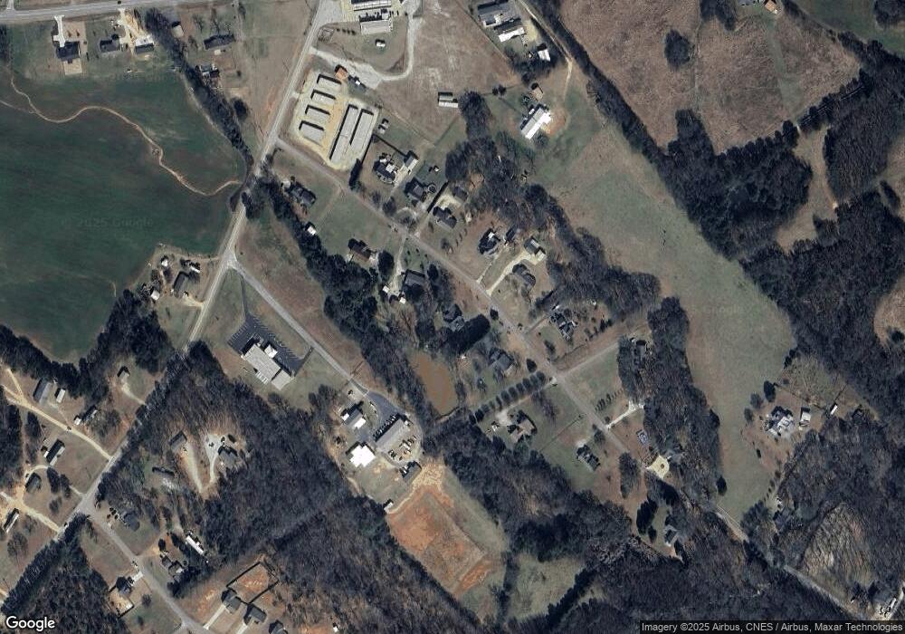
190 Cedar Pond Rd Hartwell, GA 30643
Estimated Value: $226,736 - $275,000
3
Beds
3
Baths
1,223
Sq Ft
$206/Sq Ft
Est. Value
About This Home
This home is located at 190 Cedar Pond Rd, Hartwell, GA 30643 and is currently estimated at $251,434, approximately $205 per square foot. 190 Cedar Pond Rd is a home located in Hart County with nearby schools including Hart County High School and Barnes Academy.
Ownership History
Date
Name
Owned For
Owner Type
Purchase Details
Closed on
Jun 24, 2025
Sold by
Deed Co Llc
Bought by
Gabriel Marty
Current Estimated Value
Purchase Details
Closed on
Mar 4, 2025
Sold by
Marty Gabriel
Bought by
Deed Co Llc
Purchase Details
Closed on
Jul 30, 2020
Sold by
Carlton Bridgette Gurley
Bought by
Marty Gabriel
Purchase Details
Closed on
Jan 8, 2020
Sold by
Brown Emily S
Bought by
Carlton Bridgette Gurley
Purchase Details
Closed on
Feb 1, 1991
Purchase Details
Closed on
Jan 1, 1986
Create a Home Valuation Report for This Property
The Home Valuation Report is an in-depth analysis detailing your home's value as well as a comparison with similar homes in the area
Home Values in the Area
Average Home Value in this Area
Purchase History
| Date | Buyer | Sale Price | Title Company |
|---|---|---|---|
| Gabriel Marty | -- | -- | |
| Deed Co Llc | $150,000 | -- | |
| Marty Gabriel | $142,000 | -- | |
| Carlton Bridgette Gurley | -- | -- | |
| Brown Emily S | -- | -- | |
| -- | $7,700 | -- | |
| -- | -- | -- |
Source: Public Records
Tax History Compared to Growth
Tax History
| Year | Tax Paid | Tax Assessment Tax Assessment Total Assessment is a certain percentage of the fair market value that is determined by local assessors to be the total taxable value of land and additions on the property. | Land | Improvement |
|---|---|---|---|---|
| 2024 | $1,121 | $72,602 | $15,000 | $57,602 |
| 2023 | $1,062 | $63,792 | $15,000 | $48,792 |
| 2022 | $813 | $48,843 | $6,000 | $42,843 |
| 2021 | $821 | $44,282 | $6,000 | $38,282 |
| 2020 | $422 | $31,781 | $4,000 | $27,781 |
| 2019 | $383 | $29,578 | $3,200 | $26,378 |
| 2018 | $399 | $30,160 | $3,200 | $26,960 |
| 2017 | $395 | $29,850 | $3,200 | $26,650 |
| 2016 | $410 | $29,973 | $3,200 | $26,773 |
| 2015 | $408 | $31,011 | $2,600 | $28,411 |
| 2014 | $400 | $30,246 | $2,600 | $27,646 |
| 2013 | -- | $30,612 | $2,600 | $28,012 |
Source: Public Records
Map
Nearby Homes
- 277 Rachel Ln
- 11 Rachel Ln
- 2370 Anderson Hwy
- 166 Rachel Ln
- 184 Rachel Ln
- 116 Joseph Ln
- 0 Anderson Hwy Unit 10544510
- 3078 Anderson Hwy
- 28 Lake Pointe Rd
- 0 LOT 20 Lake Pointe Rd
- 35 Villa Ct
- 155 Berryman Rd
- 60 Villa Courts
- 30 Melody Farms Dr
- 3689 Anderson Hwy
- 94 S Pointe Dr
- 78 S Pointe Dr
- 19 S Pointe Dr
- 537 Liberty Hill Rd Unit 27
- 605 Liberty Hill Rd Unit 31
- 110 Cedar Pond Rd
- 208 Cedar Pond Rd
- 173 Cedar Pond Rd
- 177 Cedar Pond Rd
- 0 Harts Mill Rd Unit 10
- 0 Harts Mill Rd Unit 10 7395814
- 215 Cedar Pond Rd
- 100 Cedar Pond Rd
- 115 Cedar Pond Rd
- 107 Cedar Pond Rd
- 107 Cedar Pond Rd
- 252 Cedar Pond Rd
- 87 Cedar Pond Rd
- lot 21&2 Cedar Pond Rd
- 129 Liberty Hill Church Rd
- 251 Cedar Pond Rd
- 298 Cedar Pond Rd
- 0 Cedar Pond Rd Unit 8588963
- 0 Cedar Pond Rd Unit 8233847
- 0 Cedar Pond Rd Unit 8150199
