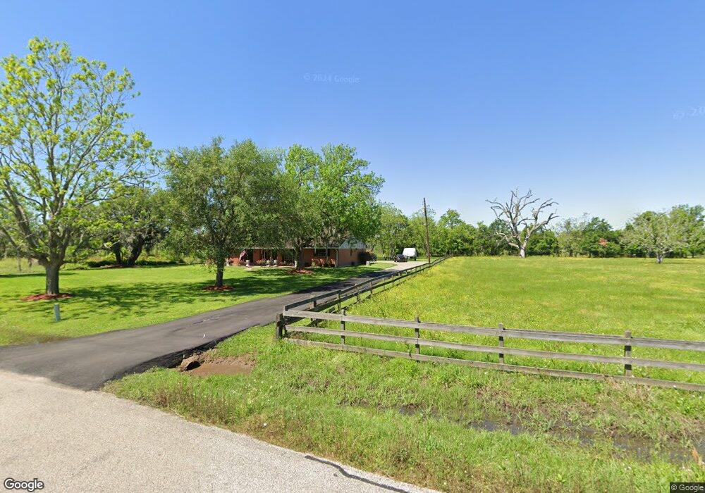
190 Country Rd Unit 521 Angleton, TX 77515
Bailey's Prairie NeighborhoodEstimated Value: $328,000 - $330,349
--
Bed
1
Bath
1,598
Sq Ft
$206/Sq Ft
Est. Value
About This Home
This home is located at 190 Country Rd Unit 521, Angleton, TX 77515 and is currently estimated at $329,087, approximately $205 per square foot. 190 Country Rd Unit 521 is a home located in Brazoria County with nearby schools including Westside Elementary School, Angleton Junior High School, and Angleton High School.
Ownership History
Date
Name
Owned For
Owner Type
Purchase Details
Closed on
Jun 21, 2013
Sold by
Lampard Rickey and Lampard Jenice
Bought by
Trevino Jose and Trevino Josefina
Current Estimated Value
Home Financials for this Owner
Home Financials are based on the most recent Mortgage that was taken out on this home.
Original Mortgage
$147,283
Outstanding Balance
$104,815
Interest Rate
3.5%
Mortgage Type
FHA
Estimated Equity
$224,272
Purchase Details
Closed on
May 5, 1995
Sold by
D R Alford Inc
Bought by
Lampard Rickey
Create a Home Valuation Report for This Property
The Home Valuation Report is an in-depth analysis detailing your home's value as well as a comparison with similar homes in the area
Home Values in the Area
Average Home Value in this Area
Purchase History
| Date | Buyer | Sale Price | Title Company |
|---|---|---|---|
| Trevino Jose | -- | Stewart Title Brazoria | |
| Lampard Rickey | -- | -- |
Source: Public Records
Mortgage History
| Date | Status | Borrower | Loan Amount |
|---|---|---|---|
| Open | Trevino Jose | $147,283 |
Source: Public Records
Tax History Compared to Growth
Tax History
| Year | Tax Paid | Tax Assessment Tax Assessment Total Assessment is a certain percentage of the fair market value that is determined by local assessors to be the total taxable value of land and additions on the property. | Land | Improvement |
|---|---|---|---|---|
| 2025 | $2,718 | $293,200 | $102,000 | $191,200 |
| 2023 | $2,718 | $248,159 | $98,000 | $199,010 |
| 2022 | $4,101 | $225,599 | $91,000 | $147,990 |
| 2021 | $4,172 | $205,090 | $84,000 | $121,090 |
| 2020 | $4,097 | $201,130 | $84,000 | $117,130 |
| 2019 | $3,896 | $173,070 | $57,500 | $115,570 |
| 2018 | $3,804 | $166,940 | $55,000 | $111,940 |
| 2017 | $4,091 | $175,970 | $57,500 | $118,470 |
| 2016 | $3,983 | $171,340 | $50,000 | $121,340 |
| 2014 | $3,048 | $150,790 | $35,000 | $115,790 |
Source: Public Records
Map
Nearby Homes
- 101 Country Rd
- 560 Jimmy Phillips Blvd
- 249 Pecan Estates Rd Unit C616R
- 130 Pin Oak Dr
- 401 Pecan Estates Rd
- 400 Pecan Estates Rd Unit C616R
- 9667 Jimmy Phillips Blvd
- 1510 Jimmy Phillips Blvd
- 2830 County Road 290
- 0 County Road 28
- 000 State Highway 288
- 0 State Highway 288
- 450 Westwood Rd Unit C614R
- 900 W Mulberry St
- 704 Heritage Oaks Dr
- 1105 Oak Park Dr
- 000 Brahman Trail
- 0 Conestoga Trail Unit 78981959
- 00 Sunset Trail
- 0 Marshall Ave Unit 36963003
- 198 Country Rd
- Lot 36A Oak Forrest Dr
- 0 Oak Forest Dr
- 118 Country Rd
- 109 Country Rd
- 210 Cr 609a Rd
- 210 Country Rd
- 210 Country Rd
- 210 Country Rd
- 210 Country Rd
- 127 Lang Shores Dr
- 213 Country Rd
- 213 Country Rd
- 213 Country Rd
- 213 Country Rd
- 213 Country Rd
- 119 Country Rd
- 212 Country Rd
- 212 Country Rd
- 212 Country Rd