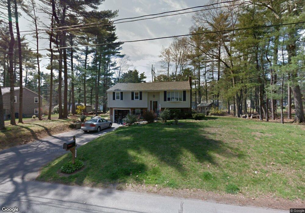
190 Cynthia Dr Raynham, MA 02767
Estimated Value: $521,000 - $581,018
3
Beds
2
Baths
1,080
Sq Ft
$506/Sq Ft
Est. Value
About This Home
This home is located at 190 Cynthia Dr, Raynham, MA 02767 and is currently estimated at $546,505, approximately $506 per square foot. 190 Cynthia Dr is a home located in Bristol County with nearby schools including Merrill Elementary School, LaLiberte Elementary School, and Williams Intermediate School.
Ownership History
Date
Name
Owned For
Owner Type
Purchase Details
Closed on
May 16, 2003
Sold by
S&J Rt and Cerrato Melo Staci A
Bought by
Cerrato Staci A
Current Estimated Value
Purchase Details
Closed on
Nov 27, 2000
Sold by
Fitzsimmons Dorothy A
Bought by
Cerrato Staci A and Melo Joao B
Create a Home Valuation Report for This Property
The Home Valuation Report is an in-depth analysis detailing your home's value as well as a comparison with similar homes in the area
Home Values in the Area
Average Home Value in this Area
Purchase History
| Date | Buyer | Sale Price | Title Company |
|---|---|---|---|
| Cerrato Staci A | -- | -- | |
| Cerrato Staci A | $206,500 | -- |
Source: Public Records
Mortgage History
| Date | Status | Borrower | Loan Amount |
|---|---|---|---|
| Previous Owner | Cerrato Staci A | $212,000 | |
| Previous Owner | Cerrato Staci A | $206,095 |
Source: Public Records
Tax History
| Year | Tax Paid | Tax Assessment Tax Assessment Total Assessment is a certain percentage of the fair market value that is determined by local assessors to be the total taxable value of land and additions on the property. | Land | Improvement |
|---|---|---|---|---|
| 2025 | $5,871 | $485,200 | $189,900 | $295,300 |
| 2024 | $5,936 | $477,900 | $182,600 | $295,300 |
| 2023 | $5,475 | $402,600 | $164,300 | $238,300 |
| 2022 | $5,305 | $357,700 | $146,100 | $211,600 |
| 2021 | $5,033 | $342,600 | $138,800 | $203,800 |
| 2020 | $5,328 | $336,400 | $138,800 | $197,600 |
| 2019 | $5,145 | $336,400 | $138,800 | $197,600 |
| 2018 | $4,528 | $303,900 | $138,800 | $165,100 |
| 2017 | $4,536 | $301,800 | $131,500 | $170,300 |
| 2016 | $4,332 | $289,200 | $128,500 | $160,700 |
| 2015 | $3,909 | $256,500 | $129,700 | $126,800 |
Source: Public Records
Map
Nearby Homes
- 173 Titicut Rd
- 21 Sully Rd
- 26 Nottingham Dr
- 30 Edward Rd
- 33 White St
- 84 Diniz Dr
- 53 Queens Cir
- 36 Stony Brook Rd
- 2 Maplewood Ln Unit 21-1
- 0 Maplewood Unit 21.3 73426136
- 40 Country Club Dr
- 935 King St
- 4-B High Ridge Dr
- 224 Whippoorwill Dr
- 123 Center St
- 000 Old Pleasant St
- 110 Cobblestone Ln
- 35 Spruce St
- 314 Britton St
- 30 Spruce St
- 200 Cynthia Dr
- 178 Cynthia Dr
- 151 Elizabeth Dr
- 141 Elizabeth Dr
- 191 Cynthia Dr
- 214 Cynthia Dr
- 203 Cynthia Dr
- 166 Cynthia Dr
- 205 Cynthia Dr
- 163 Elizabeth Dr
- 131 Elizabeth Dr
- 169 Cynthia Dr
- 213 Cynthia Dr
- 173 Elizabeth Dr
- 119 Elizabeth Dr
- 60 Meghan Cir
- 144 Cynthia Dr
- 224 Cynthia Dr
- 152 Titicut Rd
- 164 Titicut Rd
Your Personal Tour Guide
Ask me questions while you tour the home.