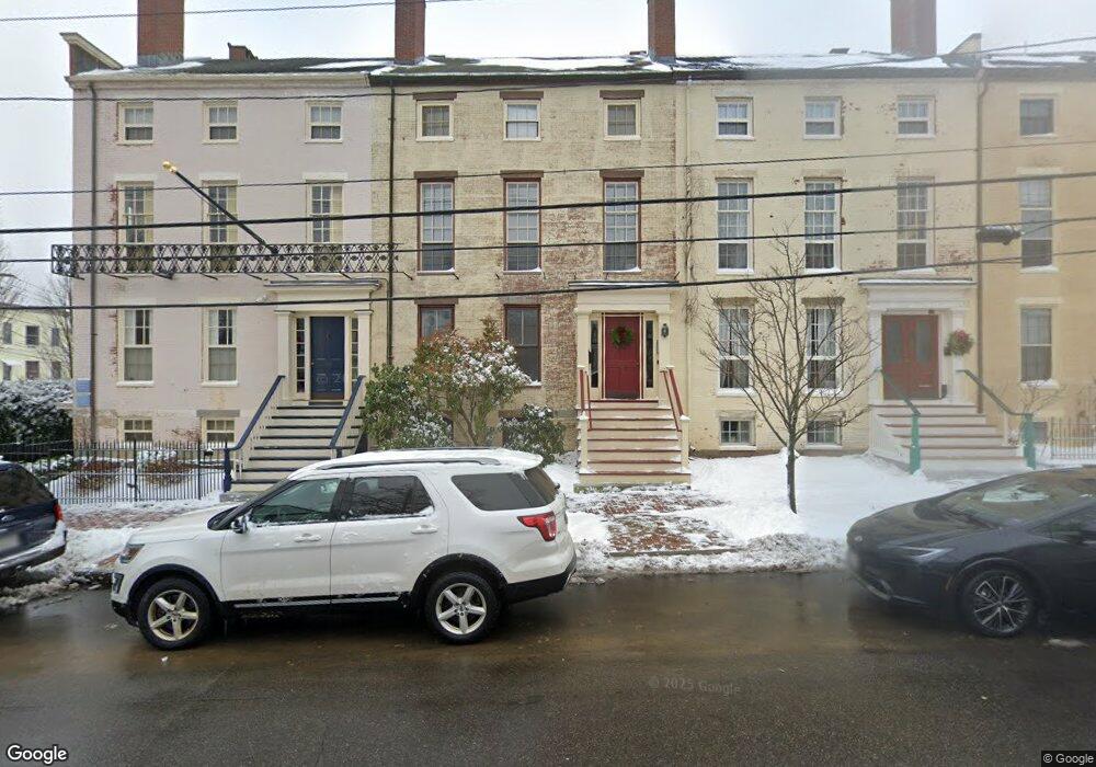
190 Danforth St Portland, ME 04102
West End NeighborhoodEstimated Value: $853,000 - $1,156,000
5
Beds
3
Baths
3,429
Sq Ft
$282/Sq Ft
Est. Value
About This Home
This home is located at 190 Danforth St, Portland, ME 04102 and is currently estimated at $965,333, approximately $281 per square foot. 190 Danforth St is a home located in Cumberland County with nearby schools including Howard C. Reiche Community School, King Middle School, and Baxter Academy for Tech & Sciences.
Ownership History
Date
Name
Owned For
Owner Type
Purchase Details
Closed on
Jul 2, 2013
Sold by
Foley Lisa A
Bought by
Aten Peter and Aten Carol
Current Estimated Value
Purchase Details
Closed on
Jul 29, 2011
Sold by
Fink Arthur J
Bought by
Mangum 2Nd William G
Home Financials for this Owner
Home Financials are based on the most recent Mortgage that was taken out on this home.
Original Mortgage
$420,000
Interest Rate
4%
Mortgage Type
Adjustable Rate Mortgage/ARM
Create a Home Valuation Report for This Property
The Home Valuation Report is an in-depth analysis detailing your home's value as well as a comparison with similar homes in the area
Home Values in the Area
Average Home Value in this Area
Purchase History
| Date | Buyer | Sale Price | Title Company |
|---|---|---|---|
| Aten Peter | -- | -- | |
| Mangum 2Nd William G | -- | -- |
Source: Public Records
Mortgage History
| Date | Status | Borrower | Loan Amount |
|---|---|---|---|
| Previous Owner | Mangum 2Nd William G | $420,000 |
Source: Public Records
Tax History
| Year | Tax Paid | Tax Assessment Tax Assessment Total Assessment is a certain percentage of the fair market value that is determined by local assessors to be the total taxable value of land and additions on the property. | Land | Improvement |
|---|---|---|---|---|
| 2024 | $14,734 | $981,600 | $269,400 | $712,200 |
| 2023 | $14,145 | $981,600 | $269,400 | $712,200 |
| 2022 | $13,360 | $981,600 | $269,400 | $712,200 |
| 2021 | $12,751 | $981,600 | $269,400 | $712,200 |
| 2020 | $9,065 | $388,900 | $135,900 | $253,000 |
| 2019 | $9,065 | $388,900 | $135,900 | $253,000 |
| 2018 | $8,742 | $388,900 | $135,900 | $253,000 |
| 2017 | $8,420 | $388,900 | $135,900 | $253,000 |
| 2016 | $8,210 | $388,900 | $135,900 | $253,000 |
| 2015 | $8,023 | $388,900 | $135,900 | $253,000 |
| 2014 | $7,778 | $388,900 | $135,900 | $253,000 |
Source: Public Records
Map
Nearby Homes
- 22 Tate St Unit 1A
- 32 State St Unit 1
- 30 State St Unit 2
- 115 Clark St
- 133 York St Unit 2B
- 259 Spring St
- 92 Salem St Unit 2
- 25 High St Unit 515
- 25 High St Unit 212
- 146 York St
- 387 Commercial St Unit 710
- 296 Spring St Unit 3
- 383 Commercial St
- 383 Commercial St Unit 413
- 383 Commercial St Unit 709
- 64 Pine St Unit 301
- 15 Pine St
- 68 Pleasant St
- 30 Dow St
- 6 Horton Place
Your Personal Tour Guide
Ask me questions while you tour the home.