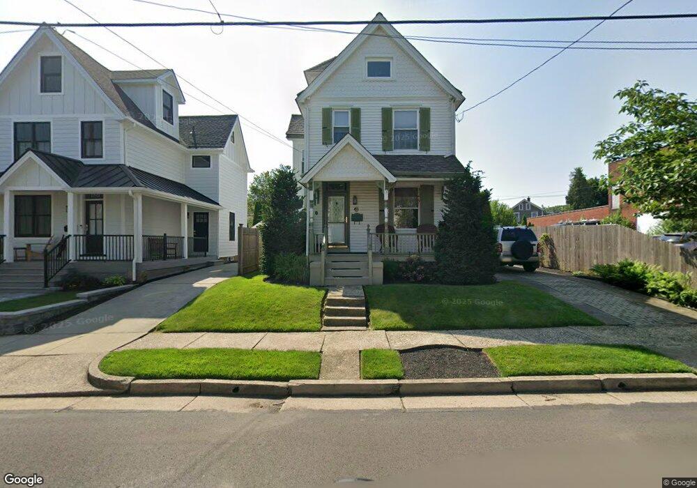
190 Decatur St Doylestown, PA 18901
Estimated Value: $443,149 - $711,000
3
Beds
1
Bath
1,143
Sq Ft
$528/Sq Ft
Est. Value
About This Home
This home is located at 190 Decatur St, Doylestown, PA 18901 and is currently estimated at $603,287, approximately $527 per square foot. 190 Decatur St is a home located in Bucks County with nearby schools including Doyle El School, Lenape Middle School, and Central Bucks High School-West.
Ownership History
Date
Name
Owned For
Owner Type
Purchase Details
Closed on
Apr 30, 1996
Sold by
Loux Dennis D and Loux Caroline E
Bought by
Loux Caroline E
Current Estimated Value
Home Financials for this Owner
Home Financials are based on the most recent Mortgage that was taken out on this home.
Original Mortgage
$63,500
Outstanding Balance
$3,582
Interest Rate
7.89%
Estimated Equity
$599,705
Purchase Details
Closed on
Mar 22, 1971
Bought by
Loux Dennis D and Loux Caroline E
Create a Home Valuation Report for This Property
The Home Valuation Report is an in-depth analysis detailing your home's value as well as a comparison with similar homes in the area
Home Values in the Area
Average Home Value in this Area
Purchase History
| Date | Buyer | Sale Price | Title Company |
|---|---|---|---|
| Loux Caroline E | -- | -- | |
| Loux Dennis D | -- | -- |
Source: Public Records
Mortgage History
| Date | Status | Borrower | Loan Amount |
|---|---|---|---|
| Open | Loux Caroline E | $63,500 |
Source: Public Records
Tax History Compared to Growth
Tax History
| Year | Tax Paid | Tax Assessment Tax Assessment Total Assessment is a certain percentage of the fair market value that is determined by local assessors to be the total taxable value of land and additions on the property. | Land | Improvement |
|---|---|---|---|---|
| 2025 | $2,666 | $14,800 | $3,440 | $11,360 |
| 2024 | $2,666 | $14,800 | $3,440 | $11,360 |
| 2023 | $2,540 | $14,800 | $3,440 | $11,360 |
| 2022 | $2,505 | $14,800 | $3,440 | $11,360 |
| 2021 | $2,477 | $14,800 | $3,440 | $11,360 |
| 2020 | $2,450 | $14,800 | $3,440 | $11,360 |
| 2019 | $2,423 | $14,800 | $3,440 | $11,360 |
| 2018 | $2,394 | $14,800 | $3,440 | $11,360 |
| 2017 | $2,368 | $14,800 | $3,440 | $11,360 |
| 2016 | $2,368 | $14,800 | $3,440 | $11,360 |
| 2015 | -- | $14,800 | $3,440 | $11,360 |
| 2014 | -- | $14,800 | $3,440 | $11,360 |
Source: Public Records
Map
Nearby Homes
- 130 N Clinton St
- 37 N Clinton St
- 195 Lafayette St
- 20 E Court St
- 69 E Oakland Ave
- 1 Barnes Ct
- 146 N Church St
- 110 E Ashland St
- 146 E Court St
- 9 Mill Creek Dr
- 155 E Oakland Ave
- 236 Green St
- 114 Progress Dr
- 403 S Main St Unit S201
- 89 Homestead Dr
- 3 Steeplechase Dr
- 6 Edison Ln Unit 1
- 418 North St
- 32 Hibiscus Ct Unit 32
- 339 E Ashland St
- 186 Decatur St
- 182 Decatur St
- 44 N Franklin St
- 257 Wood St
- 193 Decatur St
- 199 Decatur St
- 40 N Franklin St
- 183 Decatur St
- 203 Decatur St
- 181 Decatur St
- 47 N Franklin St
- 207 Decatur St
- 212 Wood St
- 218 Wood St
- 216 Decatur St
- 215 Decatur St
- 224 Wood St
- 16 N Franklin St Unit 301A
- 16 N Franklin St Unit S-115
- 16 N Franklin St