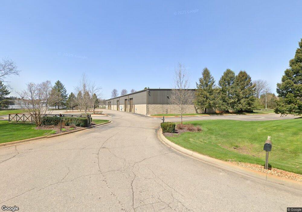
190 E Wardlow Rd Unit 100 Highland, MI 48356
Estimated Value: $2,019,220
Studio
--
Bath
5,300
Sq Ft
$381/Sq Ft
Est. Value
About This Home
This home is located at 190 E Wardlow Rd Unit 100, Highland, MI 48356 and is currently estimated at $2,019,220, approximately $380 per square foot. 190 E Wardlow Rd Unit 100 is a home located in Oakland County with nearby schools including Highland Elementary School, Muir Middle School, and West Highland Christian Academy.
Ownership History
Date
Name
Owned For
Owner Type
Purchase Details
Closed on
Jul 17, 2013
Sold by
Wardlow Properties Llc
Bought by
Flatwater Llc
Current Estimated Value
Purchase Details
Closed on
Nov 7, 2007
Sold by
Tyler Lyle B and Tyler Denise
Bought by
Wardlow Properties Llc
Home Financials for this Owner
Home Financials are based on the most recent Mortgage that was taken out on this home.
Original Mortgage
$900,000
Interest Rate
6.44%
Mortgage Type
Commercial
Create a Home Valuation Report for This Property
The Home Valuation Report is an in-depth analysis detailing your home's value as well as a comparison with similar homes in the area
Home Values in the Area
Average Home Value in this Area
Purchase History
| Date | Buyer | Sale Price | Title Company |
|---|---|---|---|
| Flatwater Llc | $955,000 | None Available | |
| Wardlow Properties Llc | -- | Philip R Seaver Title Co Inc |
Source: Public Records
Mortgage History
| Date | Status | Borrower | Loan Amount |
|---|---|---|---|
| Previous Owner | Wardlow Properties Llc | $900,000 |
Source: Public Records
Tax History
| Year | Tax Paid | Tax Assessment Tax Assessment Total Assessment is a certain percentage of the fair market value that is determined by local assessors to be the total taxable value of land and additions on the property. | Land | Improvement |
|---|---|---|---|---|
| 2025 | $26,893 | $690,230 | $0 | $0 |
| 2024 | $21,406 | $673,560 | $0 | $0 |
| 2023 | $20,404 | $634,800 | $0 | $0 |
| 2022 | $24,024 | $585,970 | $0 | $0 |
| 2021 | $22,609 | $529,820 | $0 | $0 |
| 2020 | $18,373 | $505,670 | $0 | $0 |
| 2019 | $21,974 | $499,890 | $0 | $0 |
| 2018 | $21,518 | $458,240 | $0 | $0 |
| 2015 | -- | $429,740 | $0 | $0 |
| 2014 | -- | $418,070 | $0 | $0 |
| 2011 | -- | $530,790 | $0 | $0 |
Source: Public Records
Map
Nearby Homes
- 230 Macgregor Ct E
- 277 Glengarry Ct W
- 1924 Percy
- 1956 N Percy St
- 1922 Percy
- 1933 Percy
- 1935 Percy
- 65 Ash Unit 65
- 0000 Blue Bird Ln
- 195 Birch Unit 195
- 131 Elm Unit 131
- 186 Oak
- 3351 Harvey Lake Rd
- 3402 Harvey Lake Rd
- 1716 E Wardlow Rd
- 2118 Pine Bluffs Ct
- 315 Clark Rd
- 43 Canterwood
- 3639 Loch Dr
- 3801 Tara Dr
Your Personal Tour Guide
Ask me questions while you tour the home.