Estimated Value: $246,000 - $318,871
--
Bed
--
Bath
2,226
Sq Ft
$127/Sq Ft
Est. Value
About This Home
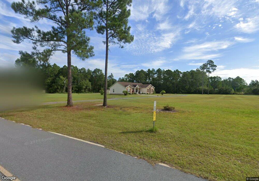
This home is located at 190 Fern St, Jesup, GA 31546 and is currently estimated at $281,968, approximately $126 per square foot. 190 Fern St is a home with nearby schools including Jesup Elementary School, Arthur Williams Middle School, and Wayne County High School.
Ownership History
Date
Name
Owned For
Owner Type
Purchase Details
Closed on
Sep 1, 1997
Sold by
Poppell Billy
Bought by
Green Eddie L and Green Juanita D
Current Estimated Value
Purchase Details
Closed on
Oct 1, 1995
Bought by
Poppell Billy
Purchase Details
Closed on
Dec 1, 1989
Purchase Details
Closed on
Dec 1, 1986
Purchase Details
Closed on
Apr 1, 1970
Purchase Details
Closed on
Aug 1, 1946
Create a Home Valuation Report for This Property
The Home Valuation Report is an in-depth analysis detailing your home's value as well as a comparison with similar homes in the area
Home Values in the Area
Average Home Value in this Area
Purchase History
| Date | Buyer | Sale Price | Title Company |
|---|---|---|---|
| Green Eddie L | $2,200 | -- | |
| Poppell Billy | $200 | -- | |
| -- | -- | -- | |
| -- | $13,200 | -- | |
| -- | -- | -- | |
| -- | -- | -- |
Source: Public Records
Tax History Compared to Growth
Tax History
| Year | Tax Paid | Tax Assessment Tax Assessment Total Assessment is a certain percentage of the fair market value that is determined by local assessors to be the total taxable value of land and additions on the property. | Land | Improvement |
|---|---|---|---|---|
| 2024 | $3,398 | $115,433 | $7,840 | $107,593 |
| 2023 | $3,613 | $102,146 | $7,840 | $94,306 |
| 2022 | $2,473 | $83,546 | $7,840 | $75,706 |
| 2021 | $2,185 | $69,791 | $7,840 | $61,951 |
| 2020 | $2,260 | $69,791 | $7,840 | $61,951 |
| 2019 | $2,327 | $69,791 | $7,840 | $61,951 |
| 2018 | $2,327 | $69,791 | $7,840 | $61,951 |
| 2017 | $2,004 | $69,791 | $7,840 | $61,951 |
| 2016 | $1,939 | $69,791 | $7,840 | $61,951 |
| 2014 | $1,944 | $69,791 | $7,840 | $61,951 |
| 2013 | -- | $69,791 | $7,840 | $61,951 |
Source: Public Records
Map
Nearby Homes
- 548 N Cypress St
- 455 N Mahogany St
- 0 E Oak St
- Apt E Oak St
- 385 N Hickory St
- 447 NE Broad St
- 498 NE Broad St
- 436-441 Brunswick St
- 658 E Walnut St
- 249 Pine Ridge Rd
- 15 Bethlehem Rd
- 0 Bethlehem Rd Unit 10523941
- 0 Bethlehem Rd Unit 1654015
- 0 Bethlehem Rd Unit 23561377
- 0 Bethlehem Rd Unit 160574
- 217 E Pine St
- 217 Pine Ridge Rd
- 207 E Pine St
- 197 NW Broad St
- 111 N Mahogany St
- 0 Greenbrae St
- 195 Fern St
- 210 Fern St
- 250 Fern St
- 704 Hemlock St
- 792 Hemlock St
- 205 Hemlock St
- 192 Sumac Dr
- 285 Fern St
- 0 Tract 2 - Hemlock St Unit 10155760
- 0 Tract 1 - Hemlock St
- 0 Tract 2 - Hemlock St
- 255 Hemlock St
- 703 Hemlock St
- 695 Hemlock St
- 0 Tract 3 - Hemlock St Unit 10156078
- 0 Tract 3 - Hemlock St
- 117 Sumac Dr
- 0 Tract 4 - Greenbrae Dr
- 0 Sumac Dr