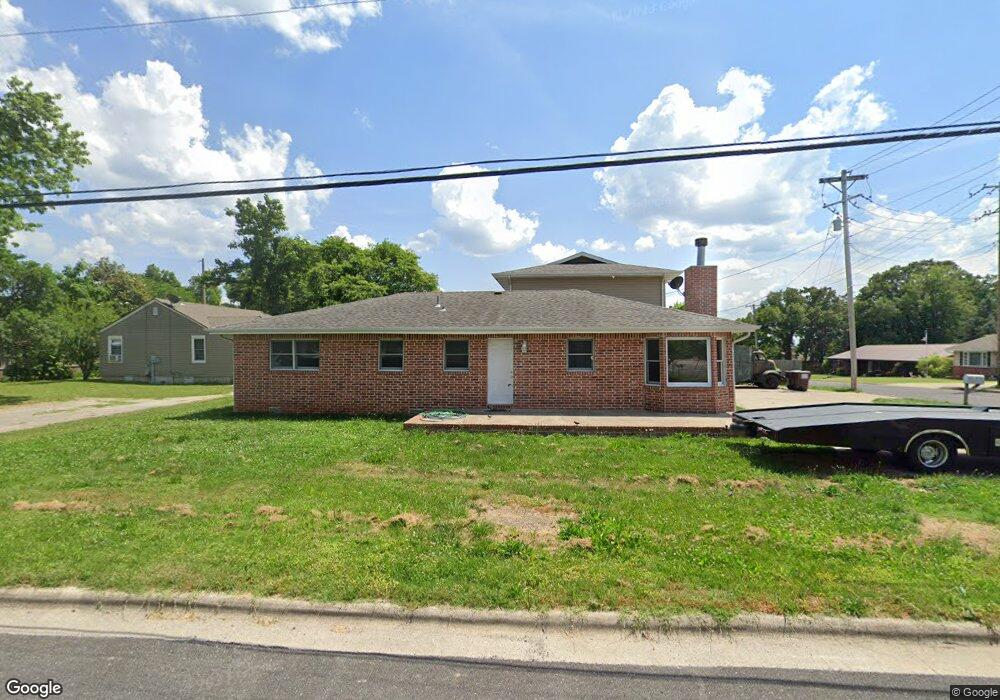
190 Francis St Branson, MO 65616
West Branson NeighborhoodEstimated Value: $246,000 - $460,000
--
Bed
--
Bath
2,084
Sq Ft
$172/Sq Ft
Est. Value
About This Home
This home is located at 190 Francis St, Branson, MO 65616 and is currently estimated at $357,463, approximately $171 per square foot. 190 Francis St is a home located in Taney County with nearby schools including Cedar Ridge Primary, Cedar Ridge Intermediate School, and Cedar Ridge Elementary School.
Create a Home Valuation Report for This Property
The Home Valuation Report is an in-depth analysis detailing your home's value as well as a comparison with similar homes in the area
Home Values in the Area
Average Home Value in this Area
Tax History Compared to Growth
Tax History
| Year | Tax Paid | Tax Assessment Tax Assessment Total Assessment is a certain percentage of the fair market value that is determined by local assessors to be the total taxable value of land and additions on the property. | Land | Improvement |
|---|---|---|---|---|
| 2025 | $1,594 | $22,850 | -- | -- |
| 2023 | $1,594 | $29,820 | $0 | $0 |
| 2022 | $1,551 | $29,820 | $0 | $0 |
| 2021 | $1,540 | $29,820 | $0 | $0 |
| 2019 | $1,415 | $26,250 | $0 | $0 |
| 2018 | $1,416 | $26,250 | $0 | $0 |
| 2017 | $1,402 | $26,250 | $0 | $0 |
| 2016 | $1,379 | $25,880 | $0 | $0 |
| 2015 | $1,366 | $25,880 | $0 | $0 |
| 2014 | $838 | $16,640 | $0 | $0 |
Source: Public Records
Map
Nearby Homes
- 306 Erie St
- 119 Grand Mountain Ave
- 109 Grand Mountain Ave Unit 39-1
- 105 Garden Cir Unit 109-4
- 103 Garden Cir Unit 110-4
- 103 Garden Cir Unit 110-3
- 132 Rock Candy Ln Unit 1
- 133 Rock Candy Ln
- 135 Rock Candy Ln
- 450 Historic Highway 165 Unit C202
- 450 Historic Highway 165 Unit C203
- 450 Historic Highway 165 Unit C201, C202, C203
- 450 Historic Highway 165 Unit C201, C202
- 450 Historic Highway 165 Unit C101, C102
- 450 Historic Highway 165 Unit C103
- 450 Historic Highway 165 Unit C101, C102, C103
- 328 Summer Dr
- 237 Oakridge Rd Unit 2
- 239 Oakridge Rd Unit 1
- 239 Oakridge Rd Unit 237/239