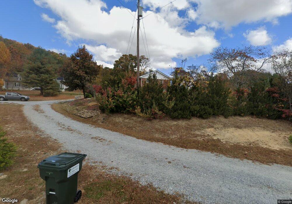
190 Free Man Place Trail Hendersonville, NC 28792
Estimated Value: $311,000 - $353,000
--
Bed
--
Bath
1,040
Sq Ft
$321/Sq Ft
Est. Value
About This Home
This home is located at 190 Free Man Place Trail, Hendersonville, NC 28792 and is currently estimated at $333,665, approximately $320 per square foot. 190 Free Man Place Trail is a home located in Henderson County with nearby schools including Edneyville Elementary School, Apple Valley Middle School, and North Henderson High School.
Ownership History
Date
Name
Owned For
Owner Type
Purchase Details
Closed on
Feb 16, 2016
Sold by
Maybin Justin L
Bought by
Brandon Joseph S and Brandon Brenda S
Current Estimated Value
Home Financials for this Owner
Home Financials are based on the most recent Mortgage that was taken out on this home.
Original Mortgage
$147,773
Outstanding Balance
$119,381
Interest Rate
4.37%
Mortgage Type
FHA
Estimated Equity
$214,284
Purchase Details
Closed on
Sep 30, 2005
Sold by
Not Provided
Bought by
Maybin Justin L and Maybin Erin R
Create a Home Valuation Report for This Property
The Home Valuation Report is an in-depth analysis detailing your home's value as well as a comparison with similar homes in the area
Home Values in the Area
Average Home Value in this Area
Purchase History
| Date | Buyer | Sale Price | Title Company |
|---|---|---|---|
| Brandon Joseph S | $150,500 | -- | |
| Maybin Justin L | $100,000 | -- |
Source: Public Records
Mortgage History
| Date | Status | Borrower | Loan Amount |
|---|---|---|---|
| Open | Brandon Joseph S | $147,773 |
Source: Public Records
Tax History Compared to Growth
Tax History
| Year | Tax Paid | Tax Assessment Tax Assessment Total Assessment is a certain percentage of the fair market value that is determined by local assessors to be the total taxable value of land and additions on the property. | Land | Improvement |
|---|---|---|---|---|
| 2025 | $897 | $164,200 | $34,900 | $129,300 |
| 2024 | $897 | $164,200 | $34,900 | $129,300 |
| 2023 | $897 | $164,200 | $34,900 | $129,300 |
| 2022 | $692 | $102,300 | $26,200 | $76,100 |
| 2021 | $692 | $102,300 | $26,200 | $76,100 |
| 2020 | $692 | $102,300 | $0 | $0 |
| 2019 | $688 | $101,800 | $0 | $0 |
Source: Public Records
Map
Nearby Homes
- 271 Freeman Place Trail
- 38 Red Laurel Ct
- 1154 N Ridge Rd
- 1148 & 1150 N Ridge Rd
- 261 Lone Laurel Trail
- 31 Little Hungry Rd
- 41 Little Hungry Rd
- 220 Laycock Rd
- 114 Major Way
- 000 Union Hill Rd
- 253 Eagles Eye Dr
- 00 Star Point Dr Unit 9
- 9999 Star Point Dr
- 248 Star Point Dr Unit 8
- 639 Byers Cove Rd
- 131 Eagles Eye Dr
- 88 Star Point Dr
- 212 Walt Dr
- 00 Low Gap Rd
- 44 Tuttle Rd
- 190 Freeman Place Trail
- 158 Freeman Place Trail
- 236 Freeman Place Trail
- 205 Freeman Place Trail
- 284 Freeman Place Trail
- 219 Freeman Place Trail
- 219 Freeman Place Trail Unit 26
- 132 Freeman Place Trail
- 11 Hobes Way
- 118 Freeman Place Trail Unit 13
- 43 E Longview Vista Ln
- 43 E Long View Vista Ln
- 36 Hals Way
- 31 E Long View Vista Ln
- 22 Nobies Way
- 112 Ridge Field Dr
- 32 Nobies Way Unit 16
- 32 Nobies Way
- 98 Freeman Place Trail
- 37 Hobes Way