Estimated Value: $466,864
--
Bed
--
Bath
1,210
Sq Ft
$386/Sq Ft
Est. Value
About This Home
This home is located at 190 Groton Rd Unit 230, Ayer, MA 01432 and is currently estimated at $466,864, approximately $385 per square foot. 190 Groton Rd Unit 230 is a home located in Middlesex County with nearby schools including Page Hilltop School, Lura A. White Elementary School, and Ayer Shirley Regional Middle School.
Ownership History
Date
Name
Owned For
Owner Type
Purchase Details
Closed on
Sep 15, 2025
Sold by
Lt Re Holdco Llc
Bought by
Nevermind Holdings Llc
Current Estimated Value
Purchase Details
Closed on
Oct 22, 2014
Sold by
Rathorne Amin and Rathorne Nahid
Bought by
A Steward Family Hosp
Purchase Details
Closed on
Aug 10, 1990
Sold by
James Brook Prop Inc
Bought by
Rathore Amin
Home Financials for this Owner
Home Financials are based on the most recent Mortgage that was taken out on this home.
Original Mortgage
$147,000
Interest Rate
10.04%
Mortgage Type
Commercial
Create a Home Valuation Report for This Property
The Home Valuation Report is an in-depth analysis detailing your home's value as well as a comparison with similar homes in the area
Home Values in the Area
Average Home Value in this Area
Purchase History
| Date | Buyer | Sale Price | Title Company |
|---|---|---|---|
| Nevermind Holdings Llc | $67,000 | -- | |
| A Steward Family Hosp | $230,000 | -- | |
| A Steward Family Hosp | $230,000 | -- | |
| A Steward Family Hosp | $230,000 | -- | |
| Rathore Amin | $163,248 | -- | |
| Rathore Amin | $163,248 | -- |
Source: Public Records
Mortgage History
| Date | Status | Borrower | Loan Amount |
|---|---|---|---|
| Previous Owner | Rathore Amin | $160,000 | |
| Previous Owner | Rathore Amin | $147,000 |
Source: Public Records
Tax History Compared to Growth
Tax History
| Year | Tax Paid | Tax Assessment Tax Assessment Total Assessment is a certain percentage of the fair market value that is determined by local assessors to be the total taxable value of land and additions on the property. | Land | Improvement |
|---|---|---|---|---|
| 2025 | $6,781 | $269,200 | $0 | $269,200 |
| 2024 | $7,226 | $263,900 | $0 | $263,900 |
| 2023 | $7,244 | $263,900 | $0 | $263,900 |
| 2022 | $6,824 | $241,300 | $0 | $241,300 |
| 2021 | $6,088 | $208,700 | $0 | $208,700 |
| 2020 | $6,171 | $208,700 | $0 | $208,700 |
| 2019 | $5,676 | $197,100 | $0 | $197,100 |
| 2018 | $5,899 | $190,300 | $0 | $190,300 |
| 2017 | $5,831 | $190,300 | $0 | $190,300 |
| 2016 | $5,782 | $187,000 | $0 | $187,000 |
| 2015 | $5,254 | $175,300 | $0 | $175,300 |
| 2014 | $5,005 | $175,300 | $0 | $175,300 |
Source: Public Records
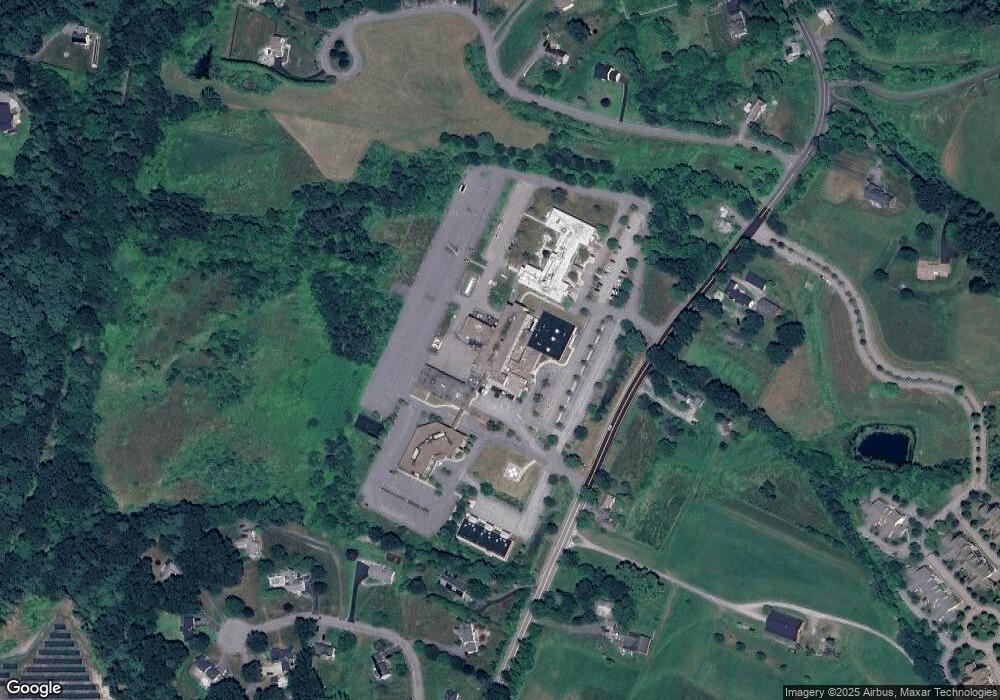
Map
Nearby Homes
- 121 Culver Rd
- 18 Douglas Dr
- 17 Douglas Dr
- 326 Old Ayer Rd
- 16 Jonathan Dr
- 72 Dale Ln
- 25 Groton School Rd Unit 14
- 25 Groton School Rd Unit 23
- PL 639 Indian Hill Rd
- 8 High St
- 0 High St
- 9 Nashua St
- 21 High St
- 38 Pine Ridge Dr
- 28 West St Unit 6B
- 14 Brook St
- 7 Groveland St
- 41 E Main St
- 17 Grove St
- 27 Grove St