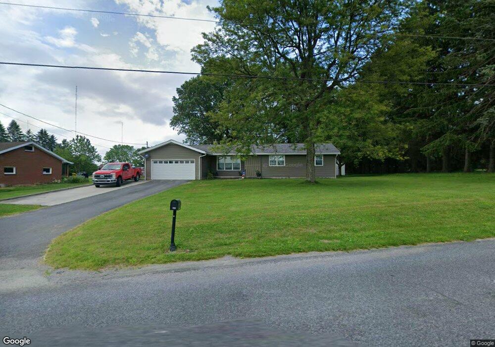
190 Highpoint Dr Somerset, PA 15501
Estimated Value: $205,000 - $258,000
3
Beds
1
Bath
1,764
Sq Ft
$130/Sq Ft
Est. Value
About This Home
This home is located at 190 Highpoint Dr, Somerset, PA 15501 and is currently estimated at $228,854, approximately $129 per square foot. 190 Highpoint Dr is a home located in Somerset County with nearby schools including Maple Ridge Elementary School, Eagle View Elementary School, and Somerset Area Junior/Senior High School.
Ownership History
Date
Name
Owned For
Owner Type
Purchase Details
Closed on
Sep 24, 2008
Sold by
Somerset Trut Co
Bought by
Rose Allen D
Current Estimated Value
Home Financials for this Owner
Home Financials are based on the most recent Mortgage that was taken out on this home.
Original Mortgage
$139,650
Outstanding Balance
$92,864
Interest Rate
6.43%
Mortgage Type
New Conventional
Estimated Equity
$135,990
Create a Home Valuation Report for This Property
The Home Valuation Report is an in-depth analysis detailing your home's value as well as a comparison with similar homes in the area
Home Values in the Area
Average Home Value in this Area
Purchase History
| Date | Buyer | Sale Price | Title Company |
|---|---|---|---|
| Rose Allen D | $147,000 | None Available |
Source: Public Records
Mortgage History
| Date | Status | Borrower | Loan Amount |
|---|---|---|---|
| Open | Rose Allen D | $139,650 |
Source: Public Records
Tax History Compared to Growth
Tax History
| Year | Tax Paid | Tax Assessment Tax Assessment Total Assessment is a certain percentage of the fair market value that is determined by local assessors to be the total taxable value of land and additions on the property. | Land | Improvement |
|---|---|---|---|---|
| 2025 | $2,258 | $36,550 | $0 | $0 |
| 2024 | $2,258 | $36,550 | $0 | $0 |
| 2023 | $2,194 | $36,550 | $0 | $0 |
| 2022 | $2,128 | $36,550 | $0 | $0 |
| 2021 | $2,071 | $36,550 | $0 | $0 |
| 2020 | $2,071 | $36,550 | $0 | $0 |
| 2019 | $2,071 | $36,550 | $0 | $0 |
| 2018 | $2,071 | $36,550 | $7,750 | $28,800 |
| 2017 | $2,071 | $36,550 | $7,750 | $28,800 |
| 2016 | -- | $36,550 | $7,750 | $28,800 |
| 2015 | -- | $36,550 | $7,750 | $28,800 |
| 2014 | -- | $36,550 | $7,750 | $28,800 |
Source: Public Records
Map
Nearby Homes
- 352 Indigo Ln
- 120 Alex Ln
- 629 Clover Hill Rd
- 620 N Franklin Ave
- 408 Byers Rd
- 426 Antram Rd
- 678 W Main St
- 348 W Catherine St
- 949 Smith St
- 878 Tayman Ave
- 527 N Edgewood Ave
- 506 Tayman Ave
- Lot 32 Gilmour Rd
- Lot 31 Gilmour Rd
- Lot 33 Gilmour Rd
- Lot 36 Gilmour Rd
- Lot 35 Gilmour Rd
- Lot 34 Gilmour Rd
- 120 W Catherine St
- 549 W Race St
- 0 Highpoint Dr
- 156 Highpoint Dr
- 2103 Husband Rd
- 147 Highpoint Dr
- 2153 Husband Rd
- 136 Highpoint Dr
- 2161 Husband Rd
- 204 Oxford Heights Rd
- 236 Oxford Heights Rd
- 254 Highpoint Dr
- 2047 Husband Rd
- 2173 Husband Rd
- 164 Oxford Heights Rd
- 2043 Husband Rd
- 115 Highpoint Dr
- 140 Oxford Heights Rd
- 169 Oxford Heights Rd
- 282 Highpoint Dr
- 2025 Husband Rd
- 153 Oxford Heights Rd