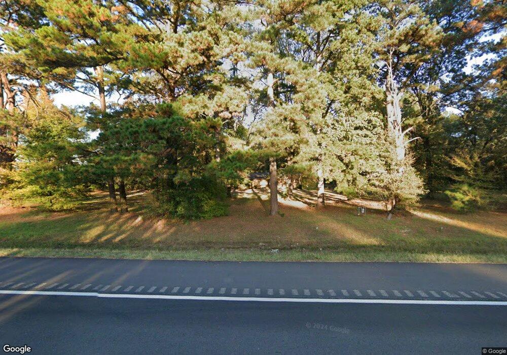
190 Highway 71 N Ashdown, AR 71822
Estimated Value: $129,969 - $228,000
Studio
2
Baths
1,938
Sq Ft
$97/Sq Ft
Est. Value
About This Home
This home is located at 190 Highway 71 N, Ashdown, AR 71822 and is currently estimated at $188,242, approximately $97 per square foot. 190 Highway 71 N is a home located in Little River County with nearby schools including L.F. Henderson Interm. School, Ashdown Elementary School, and Ashdown Junior High School.
Ownership History
Date
Name
Owned For
Owner Type
Purchase Details
Closed on
Jan 8, 2009
Bought by
Mcmahon Amanda K
Current Estimated Value
Purchase Details
Closed on
Oct 3, 2001
Bought by
Young Daniel R and Young Carolyn A
Purchase Details
Closed on
Feb 21, 2001
Bought by
United Companies Lending Corp and Attn
Purchase Details
Closed on
Oct 21, 1997
Bought by
Jones Michael Roy
Purchase Details
Closed on
Jan 1, 1996
Bought by
Jones Michael Roy and Rt 4 Box 406
Create a Home Valuation Report for This Property
The Home Valuation Report is an in-depth analysis detailing your home's value as well as a comparison with similar homes in the area
Home Values in the Area
Average Home Value in this Area
Purchase History
| Date | Buyer | Sale Price | Title Company |
|---|---|---|---|
| Mcmahon Amanda K | $60,000 | -- | |
| Young Daniel R | $64,000 | -- | |
| United Companies Lending Corp | -- | -- | |
| Jones Michael Roy | $61,400 | -- | |
| Jones Michael Roy | $43,500 | -- |
Source: Public Records
Tax History
| Year | Tax Paid | Tax Assessment Tax Assessment Total Assessment is a certain percentage of the fair market value that is determined by local assessors to be the total taxable value of land and additions on the property. | Land | Improvement |
|---|---|---|---|---|
| 2025 | $141 | $19,030 | $3,670 | $15,360 |
| 2024 | $241 | $19,030 | $3,670 | $15,360 |
| 2023 | $313 | $18,960 | $3,670 | $15,290 |
| 2022 | $329 | $18,960 | $3,670 | $15,290 |
| 2021 | $296 | $16,010 | $3,330 | $12,680 |
| 2020 | $296 | $16,010 | $3,330 | $12,680 |
| 2019 | $296 | $16,010 | $3,330 | $12,680 |
| 2018 | $316 | $16,010 | $3,330 | $12,680 |
| 2017 | $286 | $16,010 | $3,330 | $12,680 |
| 2016 | $255 | $14,450 | $2,450 | $12,000 |
| 2015 | $255 | $14,450 | $2,450 | $12,000 |
| 2014 | $234 | $14,450 | $2,450 | $12,000 |
Source: Public Records
Map
Nearby Homes
- 1609 Buck Wright Rd
- 0 Little River 43
- 000 Little River 43
- 1331 Grant St
- 1211 Buck Wright Rd
- TBD Lr 21
- 909 Park Ave
- 160 Lr 717
- 1665 Peyton Ave
- TBD Lr 183
- 682 U S Highway 71
- 680 U S Highway 71
- 171 N Dupree St
- 0 Main St
- 270 Burke St
- 210 E Cowling St
- 1520 Pine Dr
- 1151 Rankin St
- 1720 Crestview St
- 1560 Leona Dr
- 165 Highway 71 N
- 120 Little River 711
- 126 Little River 711
- 126 Lr 711
- 117 Little River 711
- 159 Little River 223
- 139 Highway 71 N
- 119 Little River 711
- 238 Highway 71 N
- 133 Highway 71 N
- 133 Highway 71 N
- 130 Highway 71 N
- 138 Highway 71 N
- 131 Little River 711
- 127 Highway 71 N
- 127 Highway 71 N
- 242 Highway 71 N
- 244 Highway 71 N
- 122 Highway 71 N
- 0 Hwy 71
